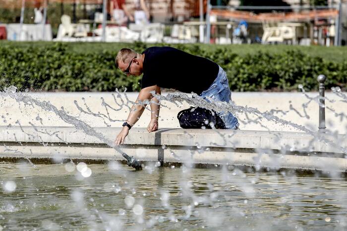
(ANSA) - ROME, AUGUST 10 - The sub-tropical anticyclone has returned to the Italian skies, which for at least the next 7 days will heat the country with temperatures that may reach peaks above 40 ° C. The vast anticyclonic field will be undermined from time to time by cooler air arriving from the Atlantic, which will trigger afternoon thunderstorms. The team of the site www.iLMeteo.it announces that for the whole week the sun will prevail over most of the regions, the sky will be clear or at most partly cloudy and the temperatures will continue to rise inexorably. As far as precipitation is concerned, they will occur in the form of a storm with local hailstorms and will mainly affect the Alpine sectors, locally the pre-Alpine ones and more isolated the northern medium / high plains. Until Tuesday, thunderstorms can still hit Sicily and the southern Apennines up to local encroachments on the Calabrian coasts. From a thermal point of view, the maximum values will increase to exceed 35-36 ° C in Tuscany, Sardinia, Sicily, Puglia and some areas of the Po Valley (Bolognese, Ferrara, Mantua). In the rest of Italy, the maximum values will be well over 32 ° C, except in Liguria.
On the weekend of August 15th, the anticyclone will continue to protect Italy, even increasing its power. On Saturday 15 the sun will prevail and the temperatures will be very hot and muggy (peaks of 43 ° C on inland Sardinia and Sicily), on Sunday 16 some more thunderstorms will affect the Alps. (HANDLE).
The super anticyclone is back, it will trigger sudden storms
2020-08-10T11:37:33.793Z
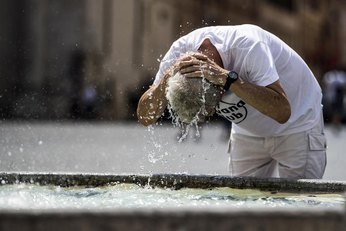
The sub-tropical anticyclone has returned to the Italian skies, which for at least the next 7 days will warm the country with temperatures that can reach peaks above 40 ° C. (HANDLE)