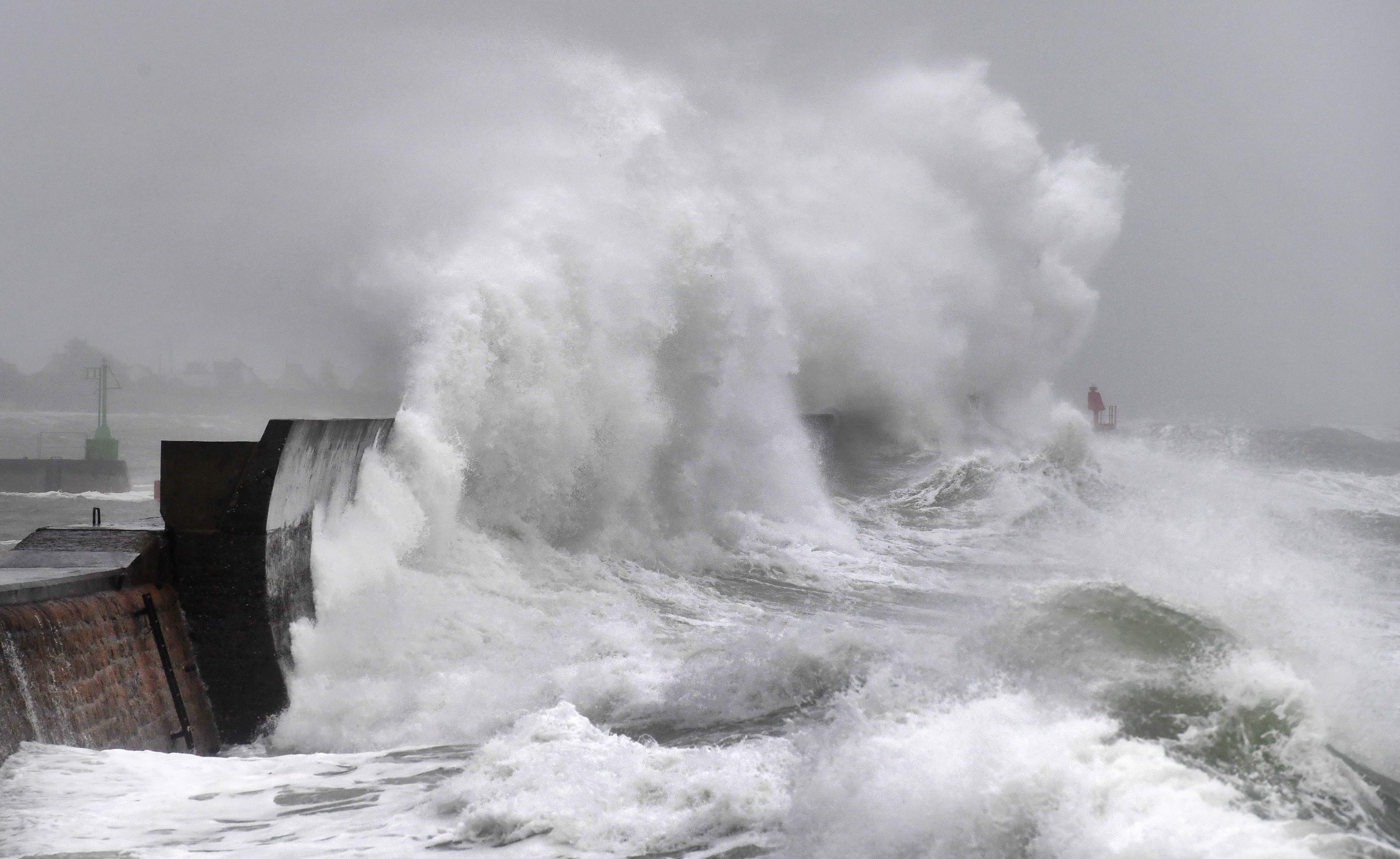
A new disturbance will cross the country this Thursday. The storm Inès, responsible for the future gale, is positioned on the North Atlantic and more precisely to the west of Ireland. It quickly approaches the island which it will touch on Wednesday evening, before heading fairly slowly towards the North Sea. The wind will strengthen quickly at night and will become very strong to violent between the coasts of the Channel and the eastern regions. The strong wind will then return inland. Five departments, Calvados, Côtes-d'Armor, Finistère, Manche and Seine-Maritime, have been placed on a strong wind orange alert by our partner the Chaîne Météo.
Winds up to 130 km / h
Gusts will be between 70 and 80 km / h from the Loire to Ardennes region, locally 90 km / h, extending to the northeast during the day. The wind will be stronger from the coasts of Brittany to the English Channel, with 120 to 130 km / h on the Côte des Légendes north-west of Finistère. From the Gironde estuary to the Center, the wind will also be sensitive. On the Massif Central, gusts between 80 and 100 km / h will be expected, according to Météo France.
In the afternoon, the rains will concern the Northeast. Showers will occur from the Center to the North. They will be marked at times and may be accompanied by a few thunderstorms and sleet. Over Brittany, the showers will be weaker.