
the weather
Written by: Liu Ding'an
2020-08-20 07:10
Last update date: 2020-08-20 07:10At 7 am, the Observatory recorded a temperature of 27.5°C and a relative humidity of 89%.
The highest UV index today is about 10, which is very high.
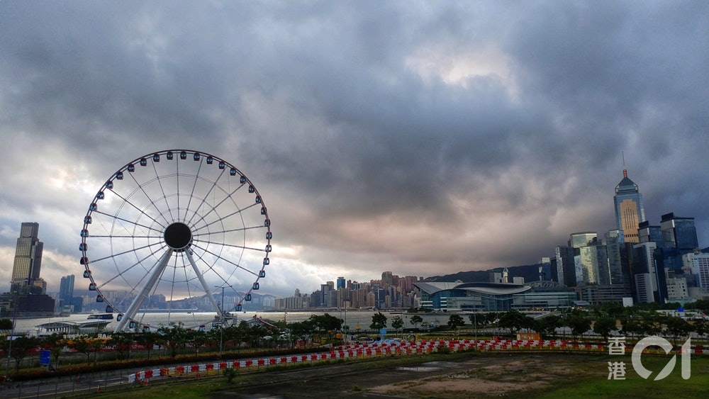
Weather Overview: Showers are affecting the coast of Guangdong and the northern part of the South China Sea. Affected by Typhoon Hagos, there were squally heavy showers and thunderstorms in Hong Kong yesterday morning. As Hygos moved into the interior of Guangdong and gradually weakened, the local wind eased in the afternoon. Yesterday, more than 70 millimetres of rainfall were generally recorded in various districts of the port of Japan. It is expected that the showers associated with the remnants of Hygoss will continue to affect the South China coast today. As the high-altitude anticyclone strengthens, the weather in southeastern China will improve in the next one or two days. In addition, the tropical depression Hygauss weakened into a low pressure area in Guangxi last night.
The weather forecast for Hong Kong (Thursday, August 20): Generally cloudy with occasional showers and thunderstorms. There are swells on the sea. The showers decreased later and there was sunshine for a short time. The temperature ranges from 26 to 32 degrees. Slow east to southeast winds.
Observatory outlook: There will be sunshine and very hot for part of the next one or two days.
Weather forecast