Hurricane Laura reaches category 4 5:40
(CNN) - Here's a city-by-city forecast of what to expect from Hurricane Laura, which is already Category 4, in terms of timing and impacts in Louisiana and Texas.
These estimates are made by CNN Weather using forecast information available as of Wednesday morning. They are subject to significant changes based on changes in the track or intensity forecast of Hurricane Laura.
Follow the news of Hurricane Laura minute by minute here.
Review how to prepare for a hurricane in this story.
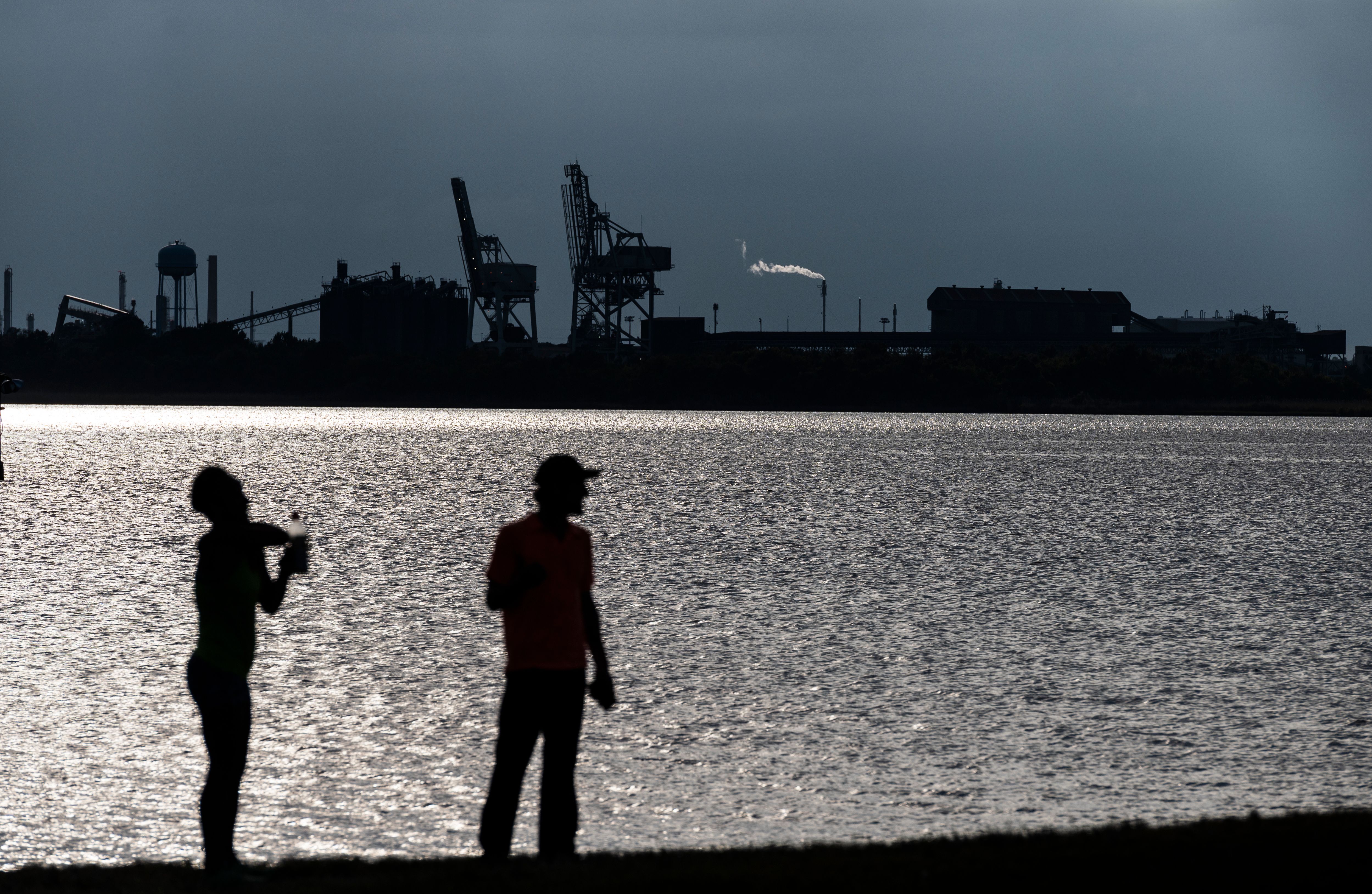
Beaumont / Port Arthur, Texas
Tropical storm winds (63 km / h +) = 8 pm on Wednesday to 10 am on Thursday.
Hurricane force winds (120 km / h +) = 11 pm to 4 am Thursday.
Maximum wind gusts: 177-193 km / h.
Total expected rain: 18 - 25 cm.
Peak of the storm: 3 - 4.5 m.
High tide: 4-5 am Thursday.
Lake Charles, Louisiana
Tropical storm winds (63 km / h +) = 8 pm on Wednesday to 11 am on Thursday.
Hurricane force winds (120 km / h +) = 11 a.m. to 6 a.m. Thursday (peaks between 1 a.m. and 4 a.m.).
Maximum wind gusts: 177-193 + km / h.
Total expected rain: 20 - 30 cm.
Peak of the storm: 3 - 4.5 m.
High tide: 6 - 7 am Thursday.
Galveston, Texas
Tropical storm winds (63 km / h +) = 8 pm on Wednesday to 5 am on Thursday.
Hurricane force winds (120 km / h +) = not expected, but wind peaks are forecast between 11 pm and 2 am Thursday.
Maximum wind gusts: 80 - 96 km / h.
Total expected rain: 5 - 13 cm.
Peak of the storm: 1 - 1.5 m.
High tide: 2 - 3 am Thursday.
Houston Texas
Tropical storm winds (63 km / h +) = 8 pm on Wednesday to 4 am on Thursday.
Hurricane force winds (120 km / h +) = not expected.
Maximum wind gusts: 56 - 72 km / h.
Total expected rain: 5 - 10 cm.
Storm Peak: 1 - 1.5 m (along Harris / Galveston Coastal Bay).
High tide: 7 am Thursday.
Hurricane Laura