
the weather
Written by: Deng Haixing and Huang Weimin
2020-10-14 07:10
Last update date: 2020-10-14 07:10
With tropical storm "Nangka" moving away from Hong Kong, the Observatory cancelled all tropical cyclone warning signals and issued a strong monsoon signal at 2:40 am today (13th).
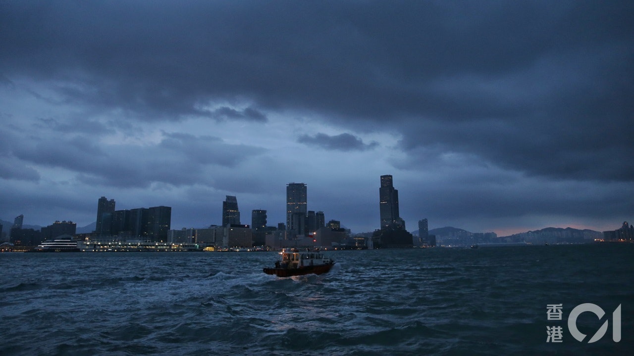
The Observatory predicts that there will be strong easterly winds in Hong Kong. Those working and active outdoors, please be especially careful of strong gusts.
The public should beware of the dangers that might be caused by big waves on the sea.
At 7 o'clock in the morning, the Observatory recorded a temperature of 25.1 degrees and a relative humidity of 78%; the highest UV index today is predicted to be about 3, and the intensity is moderate.
A strong northeast monsoon is affecting southern China; at the same time, the rain belt associated with tropical storm Nangka is affecting the northern part of the South China Sea.
In the morning, Nangka gathered about 260 kilometers southeast of Hanoi and was expected to move westward at a speed of about 18 kilometers per hour across the Beibu Gulf.
Weather Overview:
Today, Hong Kong is cloudy with a few rain patches. The maximum temperature is about 28 degrees. The wind is fresh to strong and easterly, and there are occasional strong winds offshore and on high ground.
There are very large waves and swells on the sea.
Outlook:
There will be some sunshine in the next few days, with one or two rain showers.
(Observatory website)
01News
Weather forecast