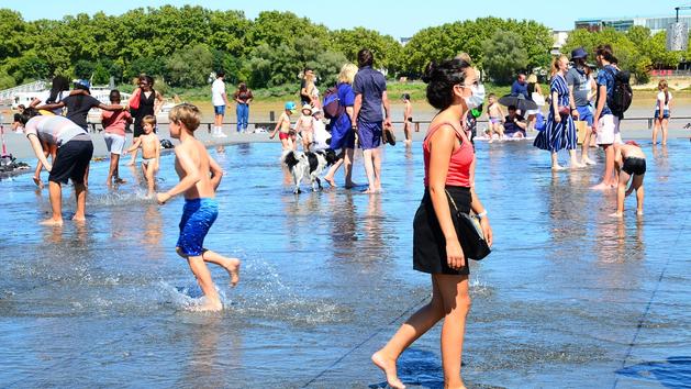
It is now a habit, there is no more summer without a scorching episode. What was exceptional a few years ago is fast becoming the norm. Summer 2020 will therefore be no exception. "The temperatures will be very high until Wednesday ," explains Patrick Galois, forecaster at Météo France. They should then drop, even if it is very difficult to make such distant forecasts. " The heatwave set in this Thursday by the southwest of the country. It will then join the center and then the north. Apart from the coasts, all of France should be affected, 45 departments are thus placed in orange heat wave vigilance, and 34 in yellow.
Read also: When France warms up: everything that will change in our lives
" The hottest day is expected for Friday," adds Pascal Scaviner, head of the forecast service at La Chaîne Météo (a Figaro Group company). “Locally, in Aquitaine, we should exceed 40 ° C in several cities. But the heatwave will be particularly long in the Paris Basin and the Center. Nighttime temperatures will not drop below 20 ° C. It will be, for example, 24 ° C in Paris during the night from Saturday to Sunday. "
This heat wave follows a first heat wave that hit last weekend. “The main difference between these two episodes is the duration, adds Pascal Scaviner. It was very hot at the end of July, but it was for a fairly short period. There, it will be more difficult because there will be little respite for at least 6 days. " Last week, it was the rise of a mass of very hot air from the Maghreb which gradually pushed back the high pressure. This contributed to a humid heat with a very cloudy sky. “ From Thursday, an anticyclone will settle over a good part of the continent, explains Patrick Galois. It's pretty spread out, which is why this episode is going to last. ”
Too little rainfall
"We are getting closer to the phenomenon that led to the 2003 heat wave, but the duration makes the two events incomparable [the heat wave then lasted 12 days, Editor's note], explains Fabio D'Andrea, CNRS researcher at the Dynamic Meteorology Laboratory. This phenomenon is partly accentuated by the drought that has hit the country since the beginning of summer. A few stormy episodes can be expected in a very localized manner, but they are very hard to predict. ” And anyway, these rains will not recharge the soil. “Since June 21, we have been breaking records for low rainfall,” adds Patrick Galois. In Paris, for example, it was the driest summer since 1952. " Overall, the summer of 2020 should be less hot than that of last year in France. “We cannot exclude the arrival of a second very hot episode at the end of August, adds Pascal Scaviner. But the months of June and July were quite mild. ”
To read also: What is the heat record of your department?
On the other hand, the rest of the Northern Hemisphere has not been spared. Arctic sea ice has broken a new melting record. Particularly high temperatures have been recorded in Siberia with peaks at 38 ° C. And above all, the mercury remained more than a week above 30 ° C in the city of Verkhoyansk, yet located at 67 ° north latitude. “Even if the start of summer was not marked by high temperatures in France, the global average temperature is above seasonal norms , ” Fabio D'Andrea analyzes. The first six months of 2020 are already the hottest on record. “ A little over thirty years ago, it was already over 30 ° C in summer, but it was still exceptional,” explains Robert Vautard, climatologist at the CNRS and director of the Pierre-Simon-Laplace Institute. Concretely, there were only ten days a year with temperatures over 35 ° C. Now it's between 30 and 40 days, or half of the summer. ” The temperatures forecast for the coming days, above 40 ° C, remain exceptional. But most climate models agree that they will become more and more frequent. By 2050, some models predict heat waves comparable to 2003 in intensity and duration every other summer.
Covid-19 and heatwave, double danger for the most vulnerable
Covid-19 and heatwave both affect the same vulnerable groups (the elderly, poorly housed, diabetics, etc.), but can give rise to conflicting recommendations. The challenge is therefore to anticipate the risks associated with heat without lowering our guard against the coronavirus. Heat stroke and dehydration can be fatal, recalls Public Health France, and the health of fragile people can deteriorate quickly and require urgent care. However, in this period of pandemic, "it is even more essential to limit the health impact of exposure to heat in order to reduce the burden of resorting to hospital or medical emergency services", underlines Public Health France. Frequently ventilate enclosed areas for fifteen minutes, even if it is hot, even if the air is polluted, for example remains essential. The use of individual fans to circulate the air is contraindicated when there are several people in the room. Likewise, recirculation of the air in an enclosed space must be avoided. As for the mask, if it remains mandatory in frequented places, it should not be wet. If it is humidified, its effectiveness is no longer guaranteed