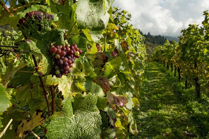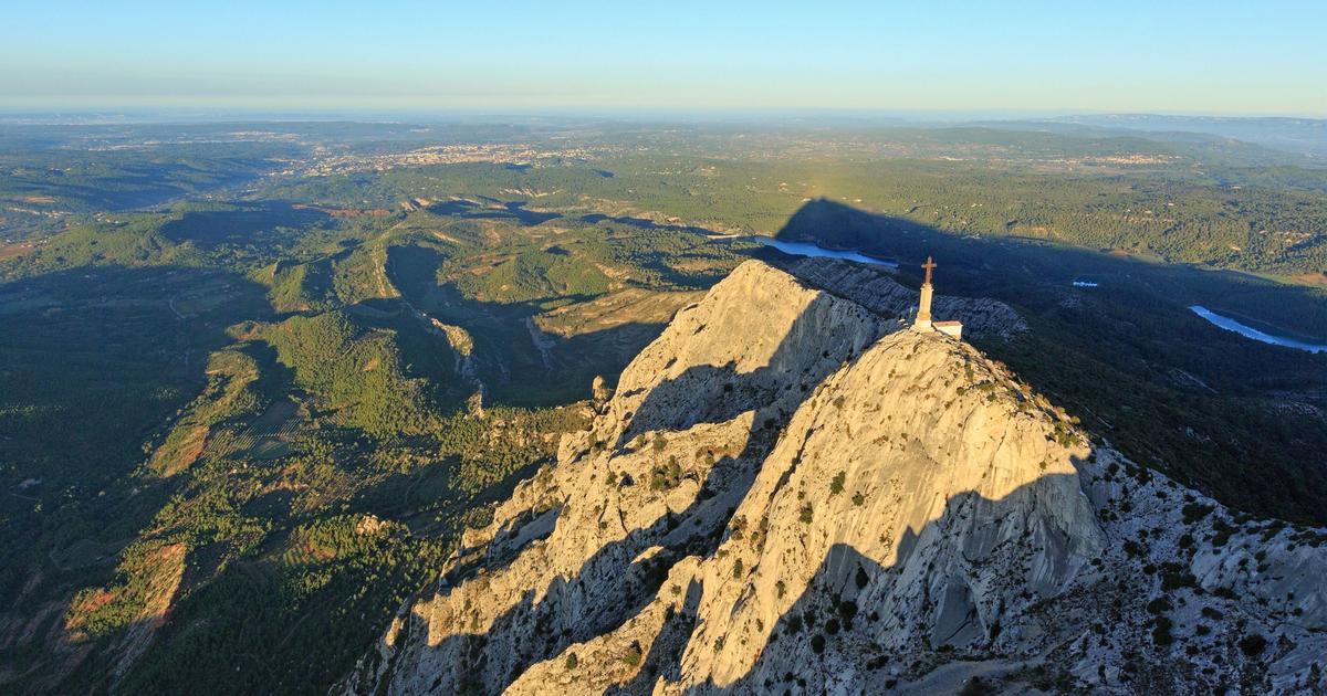
After the general staff maps designed for the military, those very precise of France which made it possible to draw motorways and to initiate the planning of the territory during the "Trente Glorieuses", the IGN (National Institute of geographic and forest information) is embarking on the cartography of
"Anthropocene France"
.
The term describes a new geological epoch that is characterized by the influence of humanity on the planet.
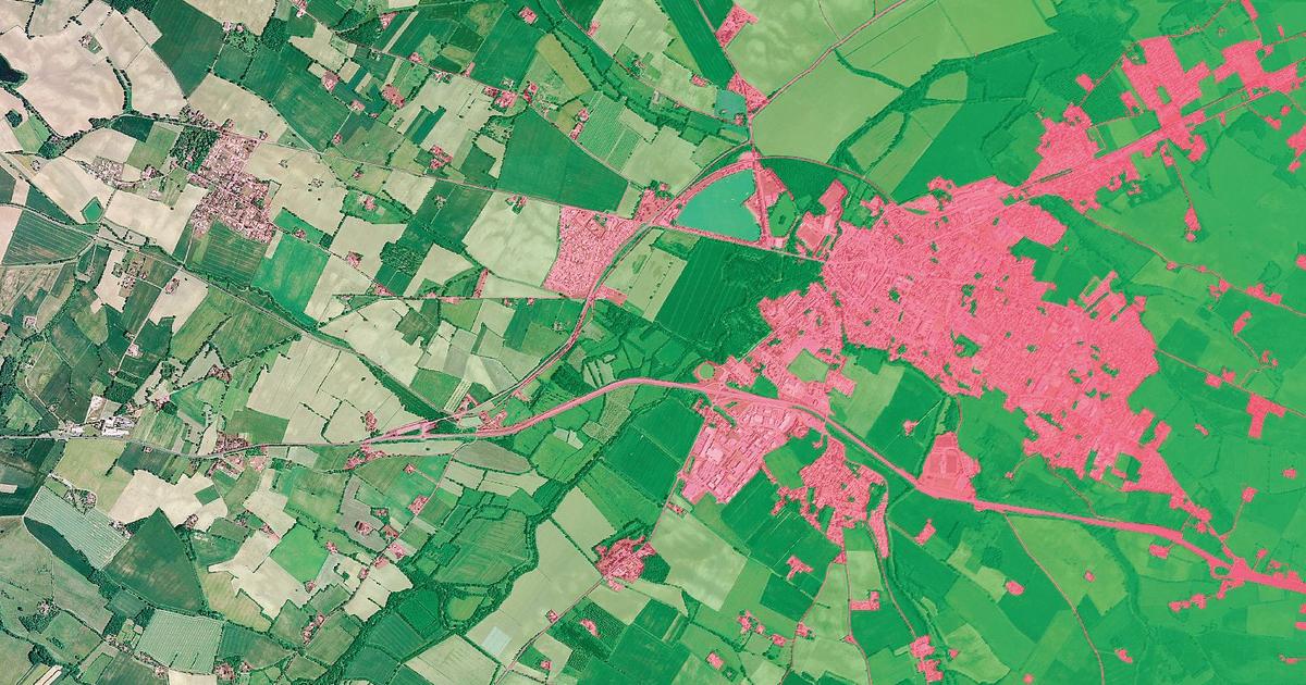
IGN wants to take into account the consequences of human activities, direct or indirect on the environment, to create a new family of maps.
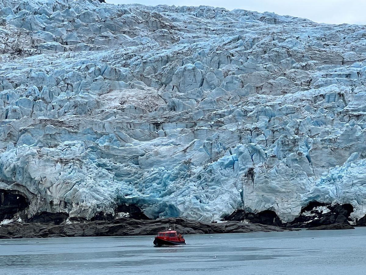
Measure the retreat of the coastline...
They will evolve, because, for example, on the coast, the coastline is receding with the increasingly rapid rise in sea level. A rise caused by global warming, which causes sea water to expand and the melting of glaciers.
Read also
Erosion and rising sea levels: on the Normandy coast, resist or retreat
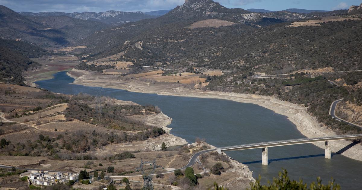
These coastline maps will not be the first completed by the IGN.
“We are only at the start, with the land-sea boundary…
This article is for subscribers only.
You have 82% left to discover.
Pushing back the limits of science is also freedom.
Keep reading your article for €0.99 for the first month
I ENJOY IT
Already subscribed?
Login