Aerial footage shows destruction by floodwaters in Yellowstone 0:53
(CNN) --
A vital bridge and highway along the Yellowstone River and its tributary, the Gardner River, have been destroyed by recent historic flooding.
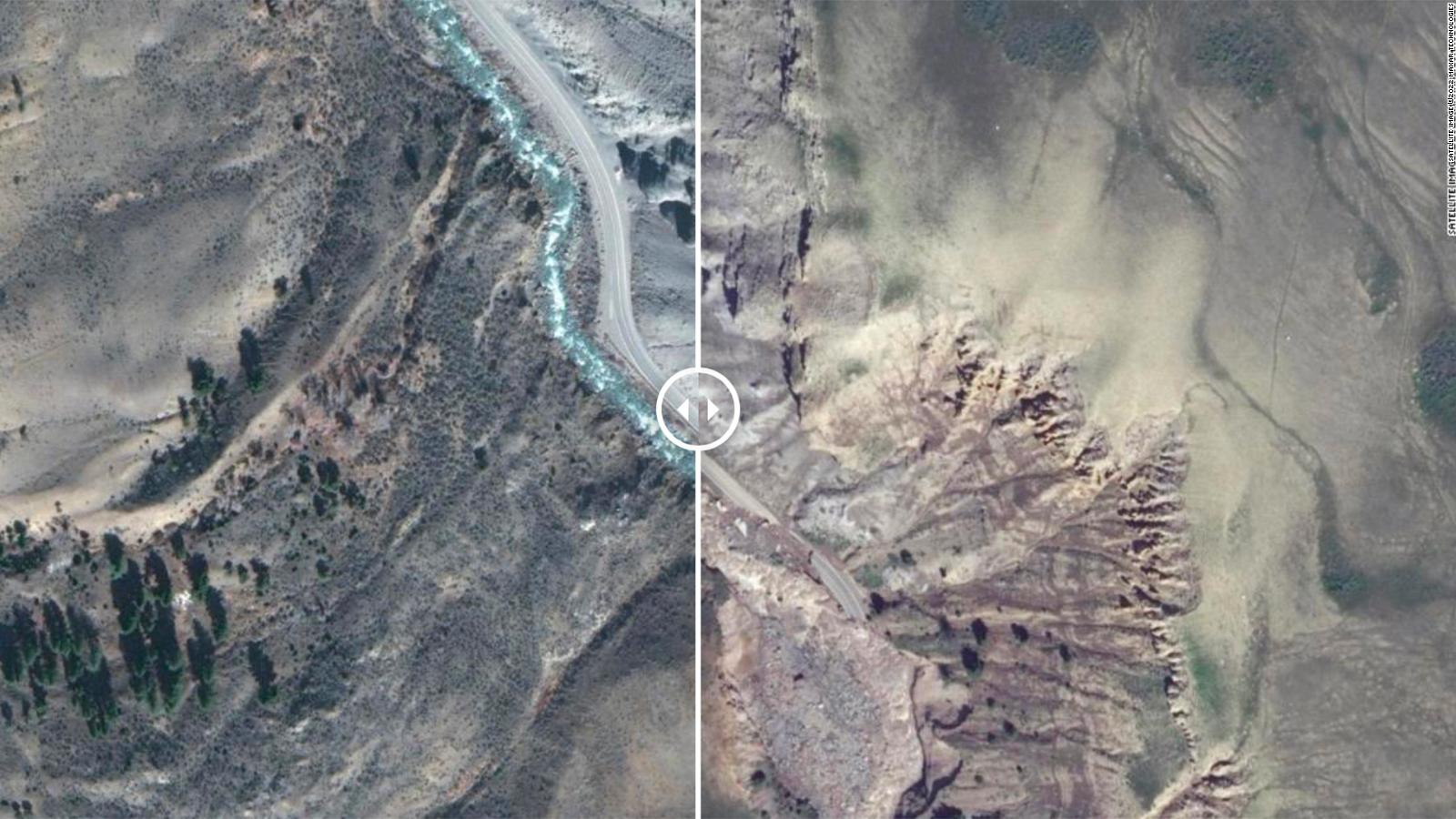
New satellite images from Maxar Technologies show the extent of the damage caused by the torrent of water.
The images were taken on June 15, just two days after floodwaters swept through river valleys in Wyoming and Montana.
Dangerous flooding, fueled by heavy rains and snowmelt, began inundating the park and several surrounding communities on Monday, overrunning essential roads and bridges.
Videos that surfaced Monday show a bridge across the Yellowstone River being swept away by floodwaters just north of the town of Gardiner, Montana.
In the before and after images shown below you can see the place where it was.
Using the sliders below, you can swipe left to see "before" images taken on March 30 and swipe right to see images taken after the floods.
advertising
The images below show that the flooding in Gardner Canyon by the Gardner River was so intense that it altered the course of the river.
This portion of Highway 89, which runs along the banks of the river, is within Yellowstone National Park.
Parts of the highway disappeared in the flood.
A close-up satellite image shows the deep cuts in the ground caused by the flood.
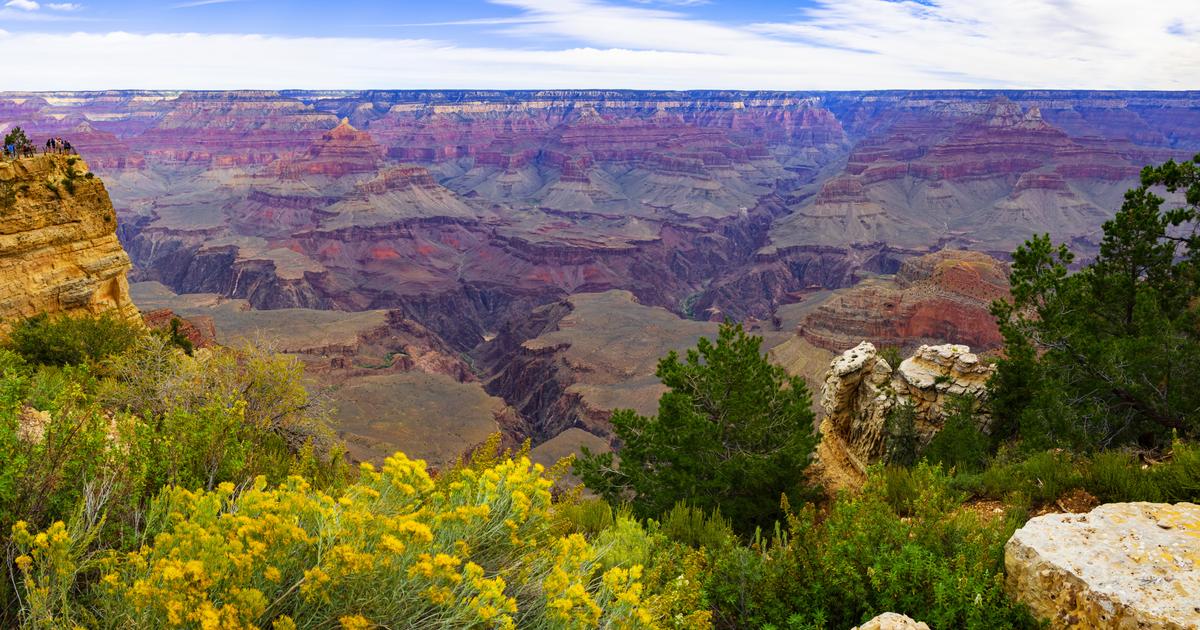
The flooding has had a huge impact on Yellowstone.
The northern region of the park, which bore the brunt of the flood damage, is expected to be closed for a "considerable period of time," likely extending through the end of the season, the park said.
-- CNN's Elizabeth Wolfe, Jason Hanna and Claudia Dominguez contributed to this report.
FloodingYellowstone National Park
/cloudfront-eu-central-1.images.arcpublishing.com/prisa/2H3Z3GJU7NB4PBWQNG6QANTFQY.jpg)