the weather
Written by: Golden Chess
2021-04-08 12:25
Last update date: 2021-04-08 14:28
Affected by the easterly airstream, Hong Kong has been cloudy and sunny recently.
The Observatory predicts that the high-altitude disturbance will bring showers and thunderstorms to the south China coast tomorrow (9th). At the same time, as the easterly airflow strengthens, the coast of Guangdong will be generally cloudy and windy in the next two or three days.
The easterly airflow is expected to ease early next week, and the sky will be clearer in the area.
A trough of low pressure will bring unstable weather to southern China in the middle and late next week.
In addition, since the Observatory launched the nine-day "probability of significant rainfall" forecast last month, Hong Kong has not been affected by significant rainfall.
Until yesterday (7th), the "probability of significant rain" showed for the first time that there is a "medium-low" chance for today (8th) and tomorrow.
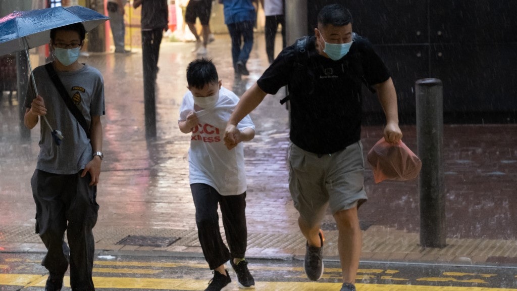
The Observatory explained that the rain area associated with the high-altitude disturbance seems to be mainly concentrated in the west of the Pearl River Estuary. The chance of significant rainfall in the area is not too high, but it reminds the public to prepare umbrellas when going out.
▼4.6 Trash on Donglong Island on the last day of Easter Holiday▼
+25
+25
+25
▼4.6 Citizens sunbathe in Repulse Bay on the last day of Easter Holiday▼
+5
+5
+5
This morning, the weather in Hong Kong was "cloudy and overcast," and the temperature was also cooler.
According to the Observatory, an easterly airstream is affecting the coast of Guangdong.
In addition, high-altitude disturbances are bringing showers and thunderstorms to inland Guangdong.
It is predicted that today (8th) will be mainly cloudy with sunshine for a short time during the day; there will be a few showers later.
The wind from east to northeast was moderated, and the offshore wind was refreshed occasionally.
Looking forward to the next two or three days, the wind will be quite strong, and it will be mostly cloudy during the weekend.
The Observatory is expected to be cloudy tomorrow (9th) with a few showers. The temperature in the urban area will range from 21 to 23 degrees Celsius.
In terms of significant rainfall probability, tomorrow, like today, is expected to be a "medium-low" opportunity. It is also the first time the Observatory predicts that the probability of rainfall is higher than "low". The average accumulated rainfall of 30 to 44 times reached 10 mm or more.
The observatory explained that from yesterday’s satellite images, it can be seen that there is a cloud belt extending northeast from the Indochina Peninsula to Central China, and its frontier has reached Guangxi.
It is expected that as these high-altitude disturbances move eastward, there will be showers and thunderstorms in southern China today and tomorrow.
Hong Kong will have a few showers later today and tomorrow
On the other hand, the easterly air currents affecting the coast of Guangdong also have the opportunity to bring about a more stable atmosphere, which is unfavorable to the development of convection. As a result, there may be large differences in rainfall on both sides of the Pearl River Estuary.
According to current assessments, there will be a few showers in Hong Kong later today and tomorrow.
However, if the rain area west of the Pearl River Estuary is slightly easterly, the rainfall in Hong Kong will be greater.
In view of this, the "probability of significant rainfall" in the next one or two days will be adjusted to "medium-low", that is, the chance of significant rainfall in the area is not too high, but it is best for the public to bring umbrellas when going out.
The observatory is expected to be generally cloudy on Saturday (10th) and next Sunday (11th), with the lowest temperature on Saturday being only 20 degrees.
The weather will not get better until next Monday (12th). Next Tuesday (13th) there will be sunshine, showers in some areas, and mist along the coast in the morning; temperatures are as high as 24 to 30 degrees.
▼April 7th Haw Par Villa Open Day is crowded with visitors▼
+20
+20
+20
Affected by the easterly airstream, Hong Kong has been cloudy and sunny recently.
(Information picture/Photo by Liao Yanxiong)
In the morning, the 6th district fell to the head of 1 Tai Mo Shan, and it fell to 15.6 degrees. The observatory expected rain for 4 days from Thursday.
Easter Weather|The Observatory’s Noon Recorded 30.6 Degrees, A New High This Year, Tomorrow’s Ching Ming Festival Continues Hot
The Observatory received an earthquake report early in the morning. People in many districts were shocked to wake up. Four places in Hong Kong were once the epicenters.
The weather forecast will increase the probability of significant rainfall today. The Observatory will announce heavy rain in some areas in the next season.
The Observatory expects up to 8 typhoons to hit Hong Kong this year is normal or it may have entered the windy season before June
01News
Hong Kong Observatory Weather Forecast