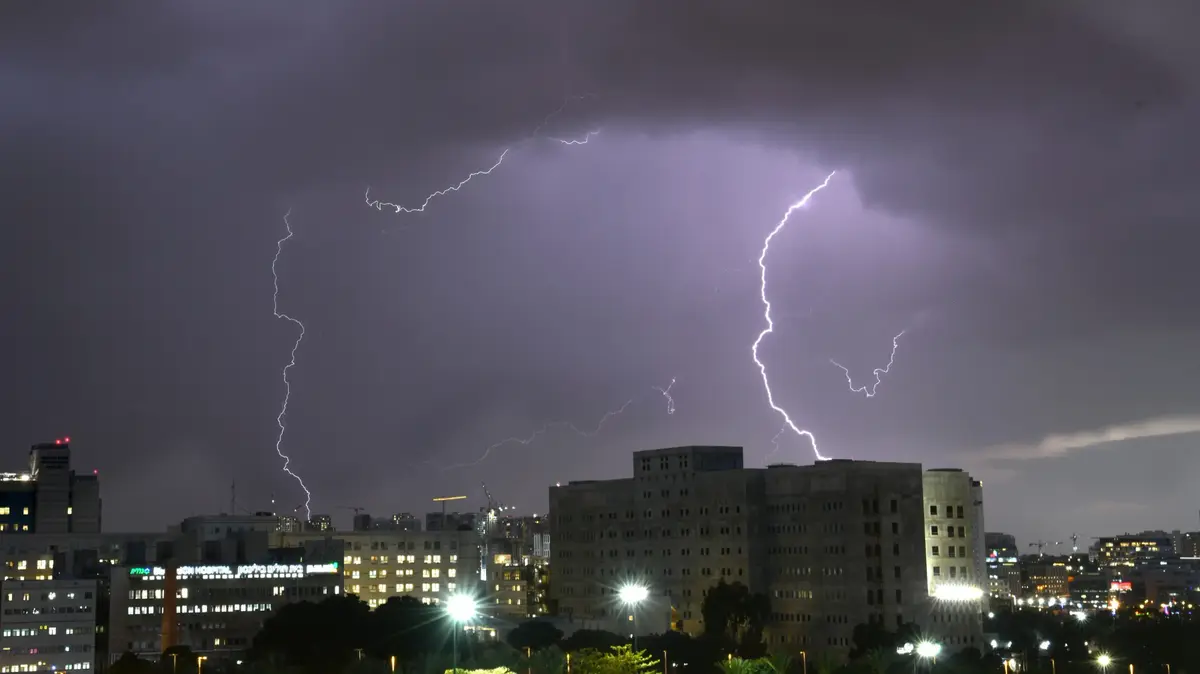
After the strong heat at the start of the week, the sunny weather has gradually given way to increasingly unstable and stormy conditions since Wednesday, June 16 in the afternoon, reports La Chaîne Météo *.
To discover
Covid-19: vaccination as the only remedy
Read also: Which areas are hit by extreme temperature variations?
Indeed, if the day of Wednesday was the hottest of the year, it also marked the beginning of a stormy degradation for the next 72 hours with a risk of extension this weekend. That night, heavy stormy rains crossed all of western France. On average, 15 to 20 mm of rain fell on the territory and, in Bordeaux, it rained the equivalent of 2 to 3 weeks of precipitation in 45 minutes.
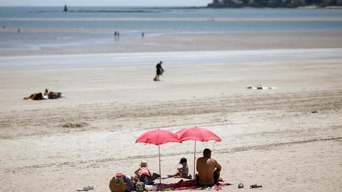
Nevertheless, this morning, the weather is more stable and the heat returns quickly from the Grand-Est to Rhône-Alpes, where 25 degrees have been exceeded since 10 am.
This Thursday afternoon, the stormy activity will be further reinforced, causing heavy rains from the Pyrenees to Brittany.
Temperatures will then drop over the western half of the country while in the east, the heat will remain tropical: 30 to 35 degrees are expected.
34 departments have been placed on “
orange storm alert
”.
34 departments are now in orange vigilance.
The Weather Channel
Finally, this evening, the thunderstorms will be violent again from the west of the Pyrenees to New Aquitaine, going up towards the coast of the Channel to the Ardennes and very heavy rains tonight in the north-west of France, between the Pays de la Loire, Brittany and Lower Normandy.
* The Weather Channel is owned by the Figaro group.