Watch the moment a woman is rescued from her flood-stuck car 1:03
(CNN Spanish) --
After crossing the Florida peninsula, Tropical Storm Ian left for the Atlantic Ocean, but according to forecasts it will make landfall again in South Carolina on Friday as a Category 1 hurricane.
According to the National Hurricane Center (NHC) forecast track, Ian will approach the coast of South Carolina on Friday and its center will move inland across the Carolinas later Friday night and Saturday.
Its new entry into land could happen near Charleston, according to forecasts, as a category 1 hurricane, far from the intensity with which it arrived in Florida.
Category 1 hurricanes are those whose winds reach speeds of between 119 and 153 km/h and in which the waves can increase up to 1.5 meters above normal.
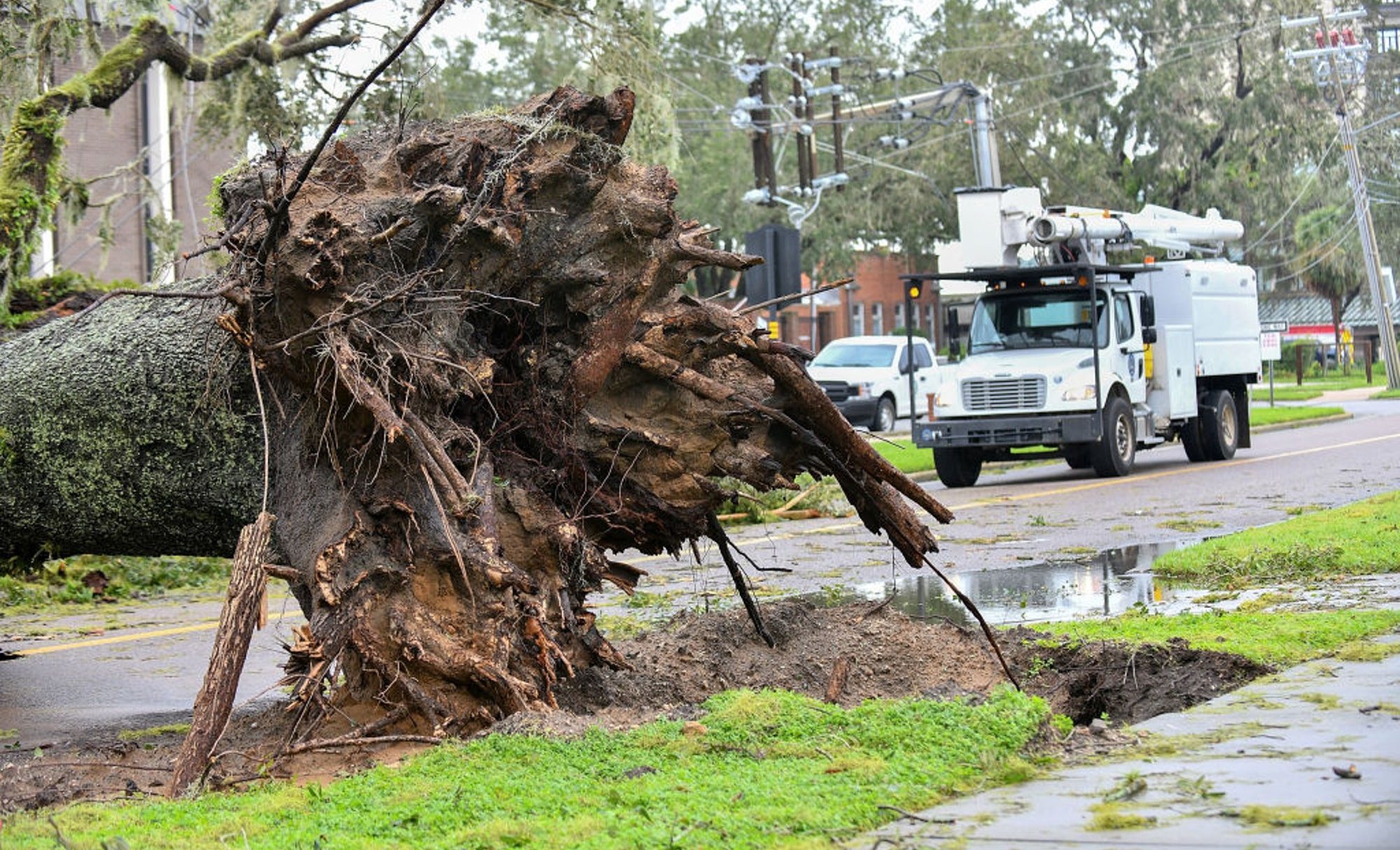
Hurricanes in this category typically cause damage primarily to unanchored homes, remove debris, trees, and signs, and some flooding of coastal highways and minor damage to docks can be expected.
Ian will rapidly weaken after landfall, forecasts say, so conditions could be tropical storm by Friday night.
advertising
By Friday at 09:00 pm local time it could be registering sustained winds of about 80 km/h, which would drop to about 55 km/h by Saturday at 09:00 am, when Ian is expected to have already moved towards northwestern North Carolina and is near Charlotte.
Hurricane warning for the entire coast of South Carolina
Following the forecast track, a hurricane warning was issued for the entire South Carolina coast from the Savannah River to Little River Inlet.
A storm surge watch was also issued from the South Santee River to Little River Inlet and for the Neuse River, and a watch from River Inlet to Duck.
On the other hand, the NHC extended the tropical storm warning that is still in force north to Duck, North Carolina, including Pamlico Sound.
Ian could leave accumulated rains of 10 to 20 cm.
in the Lowcountry of South Carolina and from 7.5 to 15 cm.
roughly in northern and central South Carolina and North Carolina.
In addition to winds, storm surge and flash flooding, there could be a tornado or two Friday off the coast of the Carolinas.
With information from CNN's Brandon Miller