
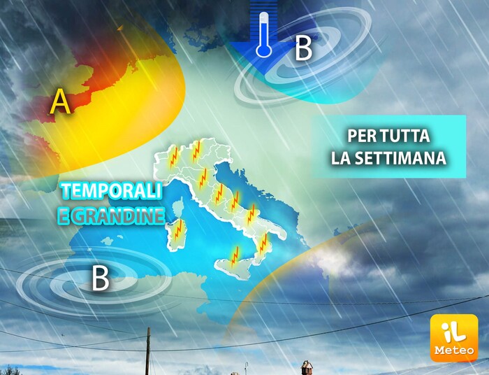
Summer has arrived in Central and Northern Europe, while on the Mediterranean we will still have thunderstorms for at least another 7-8 days. A wedge of the Azores Anticyclone has positioned itself lazily between the British Isles and Scandinavia.
On the eastern flank fresh and unstable currents flow towards the Mare Nostrum. From Poland and the Baltic area descend masses of northern air that, in contact with the late spring heat of Italy, develop frequent, intense and widespread thunderstorms. The bridge will be characterized by two faces: blue sky in the morning and clouds in the early afternoon.