After Ciara, storm Inès will blow from Thursday morning on France. It will be short-lived but its winds strong enough to cause significant damage in the northwest of the country, according to Météo France.
If Inès was late Wednesday afternoon on the North Atlantic, off the British Isles, she must reach France around 8 am Thursday.
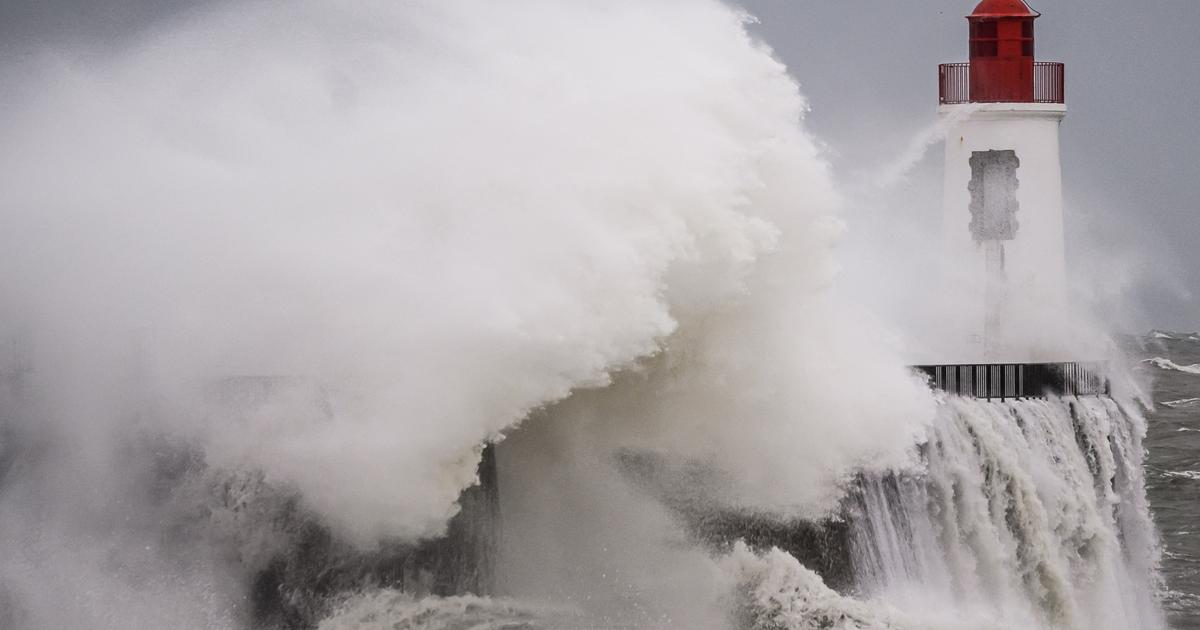
Météo France has placed four departments on orange alert from 8 am Thursday morning. Three of these departments are concerned with the risk of strong waves in the context of high tides: the Manche, Seine-Maritime and the Somme. Two are on the alert for strong winds: the English Channel, which is once again concerned, and Calvados.
Gusts between 80-100 km / h will blow over the North West and up to 130 km / h locally over the Cotentin.
⚠ Thursday, storm # Inès will bring rough weather to the north. We wait :
💨 80-100 km / h in gusts over north & northwest, loc. 130 km / h on the Cotentin
🌊 Risk of submersion on the Channel coasts
⛈ Showers at times heavy and stormy pic.twitter.com/VB3CjFa03z
In the afternoon, the rains will concern the Northeast. Showers will occur from the Center to the North. They will be marked at times and may be accompanied by a few thunderstorms and sleet. Over Brittany, the showers will be weaker.