Winter is historically hot in France and in several regions of the northern hemisphere. But more usual conditions for this season will come back in place on Tuesday and Wednesday.
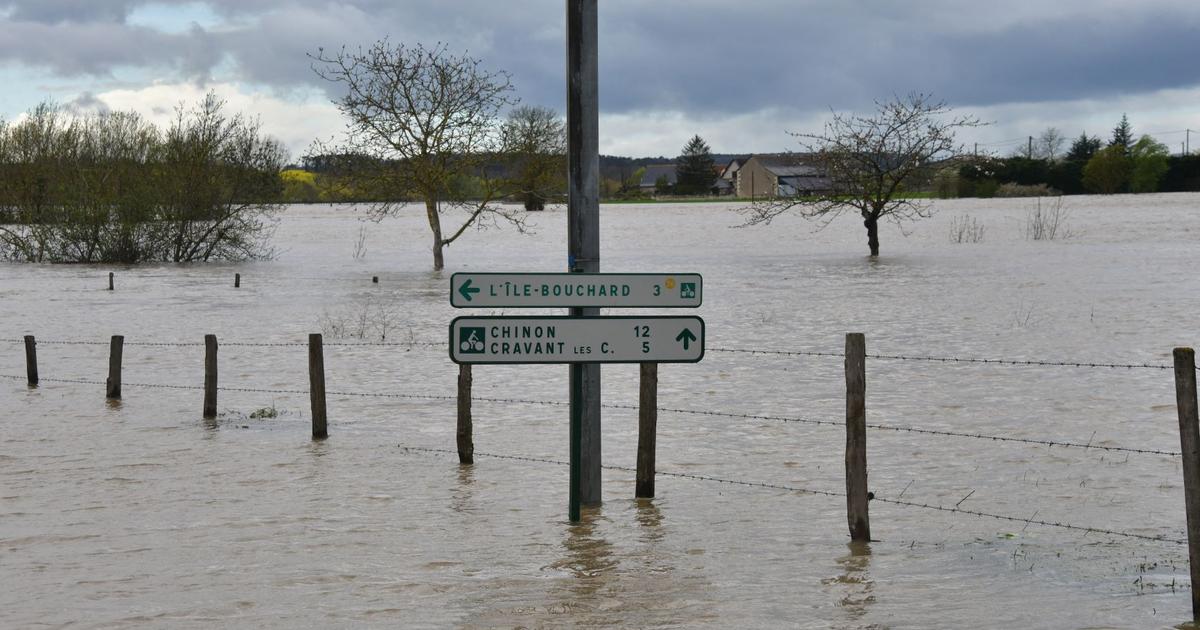
Snow, rain, wind and thunderstorms are expected over a large part of the territory. Météo France places a very large part of the country in yellow alert (level 2 of 4) because of these different phenomena.
A disturbance began to cross the country from west to east in the night from Monday to Tuesday and is discharged from the east this Tuesday morning. At the rear, a very disturbed cloudy sky is setting up until Wednesday at the end of the day, with a clear deterioration from this Tuesday evening.
This degradation corresponds to a descent of polar cold air. This air collides with the mass of hot air that was over the country. This causes quite severe weather phenomena.
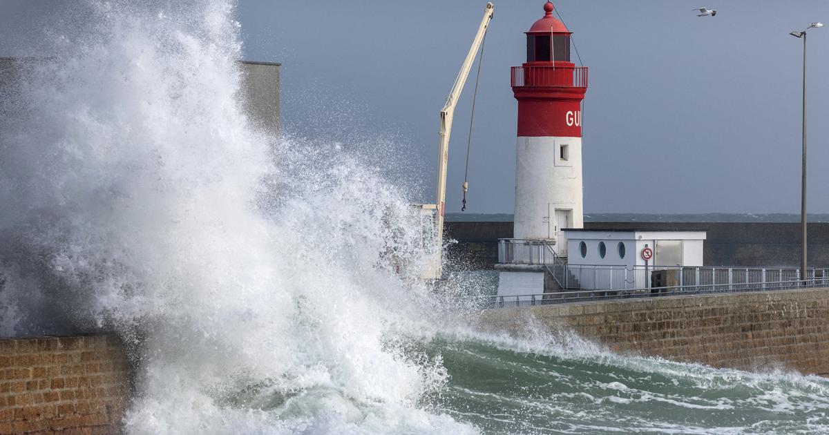
Gusts at 110 km / h on the coast, 60 km / h at 80 km / h inland
“Near the English Channel, sleet showers and thunderclaps will be possible. Tuesday afternoon, these many showers will gradually gain as far as Aquitaine and the Grand-Est. In the evening, most regions will be in this cool atmosphere with many showers. In regions close to the English Channel and the northern borders, snowfall will even be possible up to the plain at the start of the night, ”explains Météo France.
Fairly strong gusts of wind will also occur. Météo France expects, from this Tuesday afternoon "gusts up to 70 km / h at 90 km / h, or even 100 km / h at 110 km / h over all the coastal regions near the English Channel, Mediterranean and Atlantic Ocean, up to 60 km / h to 80 km / h inland ”.
Newsletter - The essentials of the news
Every morning, the news seen by Le ParisienI'm registering
Your email address is collected by Le Parisien to allow you to receive our news and commercial offers. Find out more
Keraunos, the French observatory for tornadoes and severe thunderstorms, believes that thunderstorms and flurries could occur at the same time. This animation shows the areas potentially affected by snowfall and snow storms between this Tuesday evening and Wednesday evening.
A massive arrival of cold air at altitude will contribute to destabilize the air mass this evening over the north of the country. The next night, the risk of # snow storms will become more marked in the north and will continue tomorrow in the east tomorrow. pic.twitter.com/pzPVyudHu0
- Keraunos (@KeraunosObs) February 25, 2020The weather chain reminds us that the soils are not sufficiently cooled, it is unlikely that snow will stay on the ground in the Grand Est region. The downpours could however "generate a few centimeters of snow on the ground over the Pays de Caux, the reliefs of Calvados and the hills of Perche".
In Ile-de-France, the soils are a priori hot enough so that the snow does not cause major disturbances. Météo France expects widespread falls in the region on the hourly band 4 hours - 7 hours Wednesday, that is to say when trains and cars start to circulate massively. Difficulties in transport cannot therefore be completely excluded.