
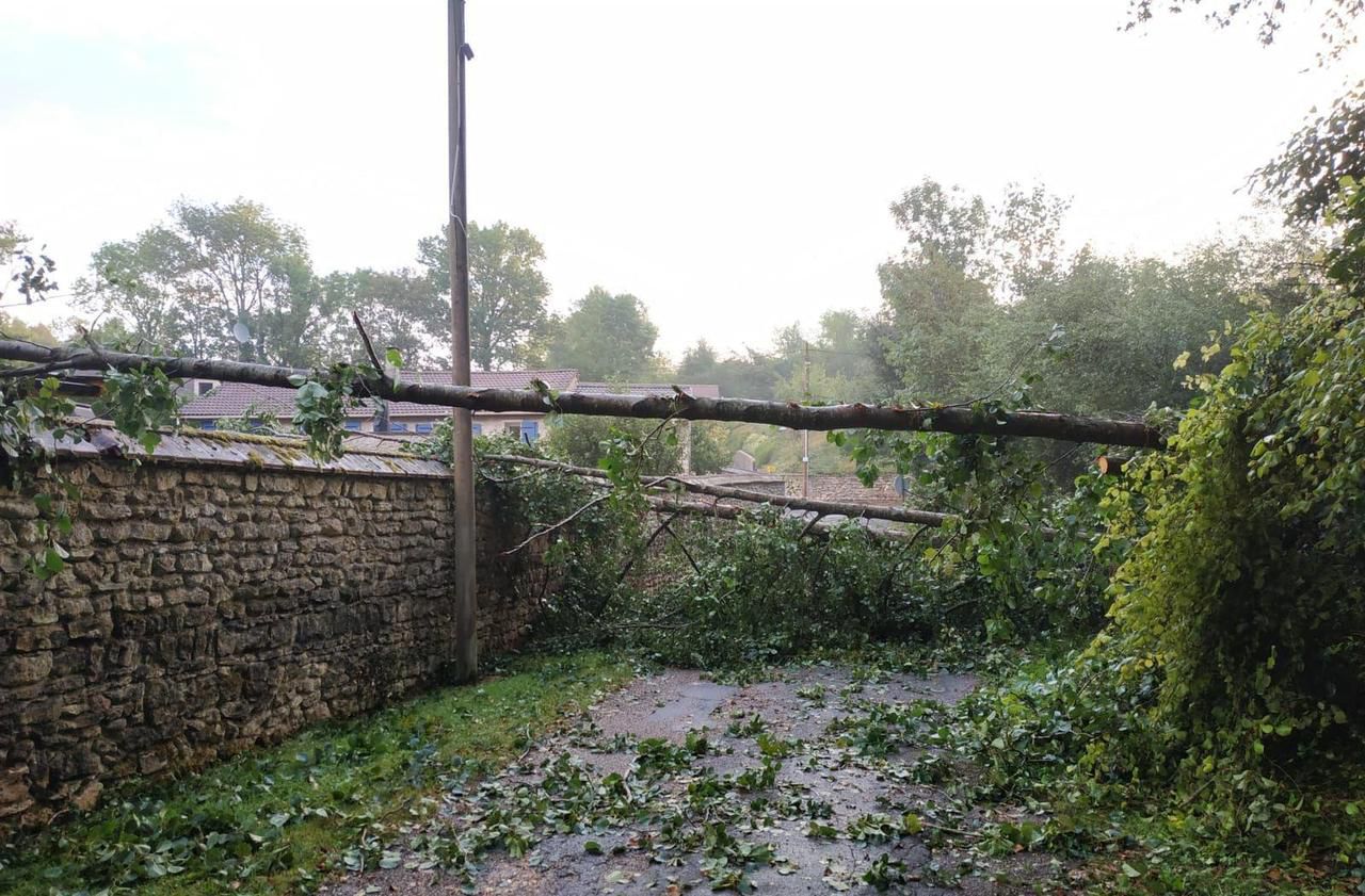
The thunderstorms were quick to return. Météo France this Saturday afternoon placed 11 departments of the West and South-West on orange vigilance because of an "active stormy episode requiring special monitoring given the risk of intense phenomena".
This alert is valid until Sunday afternoon for the following departments: Loire-Atlantique, Maine-et-Loire, Indre-et-Loire, Vendée, Deux-Sèvres, Vienne, Charente-Maritime, Charente, Haute-Vienne, Gironde and Dordogne.
🔶 11 deposits in #vigilanceOrange
Stay informed on https://t.co/rJ24zzmmy4 pic.twitter.com/ZFP9nnA0tQ
"During the evening and next night, a mobile storm system will approach the Atlantic coast and quickly sink into the south of Pays-de-Loire and the north of New Aquitaine towards the Center", explains Météo France, which anticipates "A strong electrical activity" and violent gusts of wind "often between 80 and 100 km / h or even very locally a little more".
This should be accompanied by heavy heavy rains with occasional accumulations of between 30 and 40 mm "generally falling in less than an hour" and a risk of hail. "These storms will then shift towards the Center, Île-de-France then Hauts-de-France but will then be less violent", adds the meteorological institute.