
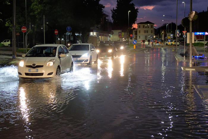
From tomorrow and throughout the weekend, a violent phase of bad weather is coming over Northern Italy (Sunday also in the Center) with a high risk of strong thunderstorms, storms, but also hailstorms. This is the alarm of Edoardo Ferrara, meteorologist of 3bmeteo.com, according to which in the north there will be a drop in temperatures of up to 10 degrees. Climate opposite to the South, where it will be sunny but very hot, with peaks of 40 degrees. Strong Libeccio and Scirocco winds are also expected, with rough seas especially on Sunday.
Liguria, orange alert on the center-east - Ligurian Center-Levant in check tomorrow due to bad weather. The alert, yellow from midnight today until 6 tomorrow morning, turns orange from 6 until 18, and then returns to yellow. Yellow alert instead in western Liguria. In the first part of tomorrow, Arpal specifies "all the elements for the development of strong, organized and stationary storms will be available, in a context of widespread rain. The storm indices that determine the degree of instability of the atmosphere and therefore the different thunderstorms are high and the probable convergences, that is the contrasts between air masses characterized by different temperatures and winds of opposite directions, could trigger that stationarity capable of making it rain intensely on the same area for a few hours ".
Veneto, yellow and orange alert until Sunday - A new phase of intense bad weather is coming to Veneto, with heavy showers, strong gusts of wind and local hailstorms that will affect the whole region until the afternoon of Sunday 30 August. This was reported by the Regional Civil Protection, which issued the State of Attention (yellow alert) in some river basins and the State of Prealarm (orange) in others for criticality on the main hydraulic network and hydrogeological criticality. The expected precipitations, locally also intense, will determine the hydrometric rise in the secondary network; inconveniences could arise for the urban water disposal system, as well as in the minor network. The possibility of triggering landslides on the slopes is also reported, as well as the possibility of triggering rapid flows, especially in the areas of the Alto Piave, Piave-Pedemontano, Alto Brenta-Bacchiglione-Alpone, Adige-Garda-Monti Lessini river basins. .
In Tuscany yellow code for rains and thunderstorms - A yellow code for heavy rains and thunderstorms in Tuscany was issued by the Unified Operations Room of the Region for Saturday 29 August, in upper Versilia and in the Tuscan-Emilian Apennines. Due to a worsening of the weather due to a large Atlantic perturbation approaching the western Mediterranean, they explain, the surveillance will be valid from 8 on the 29th and until midnight on the same day. In the morning, scattered rainfall is expected in the north-west, in the province of Massa-Carrara, in the Apuan Alps and in the Tuscan-Emilian Apennines, also with a downpour or strong storm with possible strong gusts of wind and hail. Not excluded thunderstorms on the northern areas of the provinces of Livorno and Pisa, and on the Archipelago with occasional gusts of wind and hail. From late morning even very rough sea offshore, on the Grosseto coast, and, locally, on the central-northern coast. Precipitation will be more widespread from late afternoon-evening.