
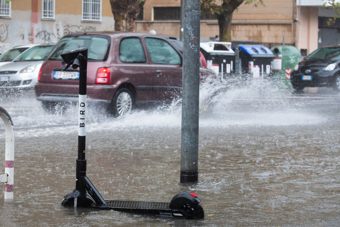
Autumn "roars again" over Italy: tomorrow an intense Atlantic disturbance is coming which will open a new phase of bad weather, especially in the Centronord, with thunderstorms, storms and gusts of wind.
This was announced by the 3bmeteo.com meteorologist Edoardo Ferrara.
"Tomorrow - he explains - rains and thunderstorms will intensify between Liguria, Piedmont, northwestern Lombardy and western Emilia, where local storms will also be possible. Rains and showers will also advance on Trentino Alto Adige, Veneto and Friuli Venezia Giulia, focusing above all on the Alps, Pre-Alps and foothills The northern Tuscany is also involved, while the rest of the Centrosud will often be dry.
In the meantime the winds will already be in sharp reinforcement between Scirocco and Libeccio, with gusts of over 60-70km / h on the Tyrrhenian, Sardinia and Liguria and storm surges on the exposed coasts "" On Saturday there will be a strong perturbation that will bring showers and thunderstorms not only in the North but also on the central regions "- warns the 3bmeteo.com expert -" local storms and hail storms between Liguria, Emilia Romagna, Triveneto, Tuscany, Umbria, Marche, Lazio and Abruzzo are not excluded.
The overall accumulations together with Friday will also be able to exceed 100-150mm in Liguria, upper Lombardy, upper Piedmont, Trentino, Venetian Prealps, Friuli Venezia Giulia and north-western Tuscany.
On Sunday, after a brief initial respite, other showers and thunderstorms will wet the Centronord, especially the Tyrrhenian side, while the South will continue to remain on the edge of the cyclonic action.
All accompanied by Libeccio and Scirocco winds, with gusts of over 60-70km / h in Centrosud, up to 100km / h in the Apennines.
Finally, the temperatures - concludes Ferrara - will be a continuous ups and downs with a first thermal surge at Centrosud induced by the Scirocco winds, then a thermal drop during the weekend, especially in the North.