
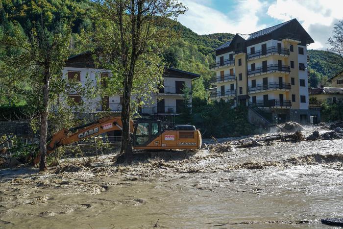
(ANSA) - ROME, 08 OCT - The brief respite from bad weather that has been raging in Italy for days is about to end.
Rain, thunderstorms, below average temperatures and snow even at rather low altitudes for the period will put an end, over the weekend, to the high pressure that will prevail, after today, also tomorrow.
According to the forecasts of Edoardo Ferrara, meteorologist of 3bmeteo.com, a new perturbation that will descend from Northern Europe "will bring the first rains on Saturday evening to the North and Tuscany, but it will be Sunday that the bad weather will return to affect especially the Northeast and the central regions with showers and widespread thunderstorms, locally even of strong intensity. More at the edge of the Northwest, with precipitation between Liguria, lower Piedmont and south-eastern Lombardy, while high Piedmont and Valle d'Aosta should also see some beautiful openings. Ferrara specifies, they will be in sharp decline so much so that the snow will return to the Alps, especially the eastern ones, but also to the northern Apennines up to 1300-1400m. In the South the sun prevails, except for some showers or thunderstorms, even strong in Campania, more occasionally on Molise and Sicily. The winds will be in clear reinforcement, with seas again very rough or agitated ". Due to the arrival of Arctic air, temperatures will also drop below the averages for the period. Also next week, according to the meteorologist of 3bmeteo.com, "Italy promises to be decidedly eventful, with frequent episodes of bad weather. On Monday the bad weather will bring to the South with the risk of violent storms and storms; unstable also in the Center while in the North you could have a short break. By Wednesday 14 in fact, a second wave of bad weather could again involve the whole of Centronord with widespread rainfall. All accompanied by strong winds and storm surges with difficulty in connections with the Minor Islands ". (HANDLE).