The winds that have been blowing since the beginning of the night on the Atlantic coast and part of the English Channel have clearly strengthened, pushing Météo France to place five new departments on orange vigilance this Sunday morning.
In addition to Finistère and Manche, directly affected by the winds, and which had felt the storm coming since the day before, the meteorological institute has placed Aveyron, Cantal, Corrèze, Lozère and Puy-de-Dôme in alert state for snow-ice and / or rain-flooding.
🔶 7 deposits in #vigilanceOrange
Stay informed on https://t.co/CSYEovTI83 pic.twitter.com/WZeil2UXAK
- VigiMeteoFrance (@VigiMeteoFrance) December 27, 2020
Gusts from the British Isles.
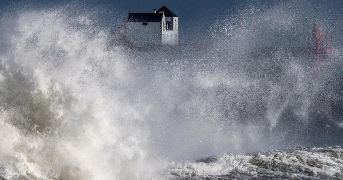
Strong winds will blow Sunday during the day in the north-west then in the evening from the south-west to the north-east because of the storm Bella which rages on the British Isles and overflows on France, announces this Sunday Météo France in its bulletin of 6 hours.
In Finistère and the Manche department, we expect gusts of 90 to 110 km / h inland and 100 to 120 km / h on the coast, up to 130 km / h on the most exposed capes.
The night was serious: gusts of 124 km / h were recorded at Gatteville-le-Phare (Manche) and at the tip of Raz (Finistère).
On the coasts of the Gulf of Morbihan, the wind has been blowing continuously since 3 am.
In the interior, the wind blew in gusts of 70 to 90 km / h, up to 96 km / h in Brest and 112 km / h in Landivisiau.
That water.
The rain, which falls from Brittany to the Belgian border, will affect the Pays de la Loire, the Charentes and Ile-de-France during the morning.
In the afternoon, the Bella rains will move over a larger part of France.
The rains, so far sustained, will intensify.
20 to 30 liters per m2 could drop as Bella passes.
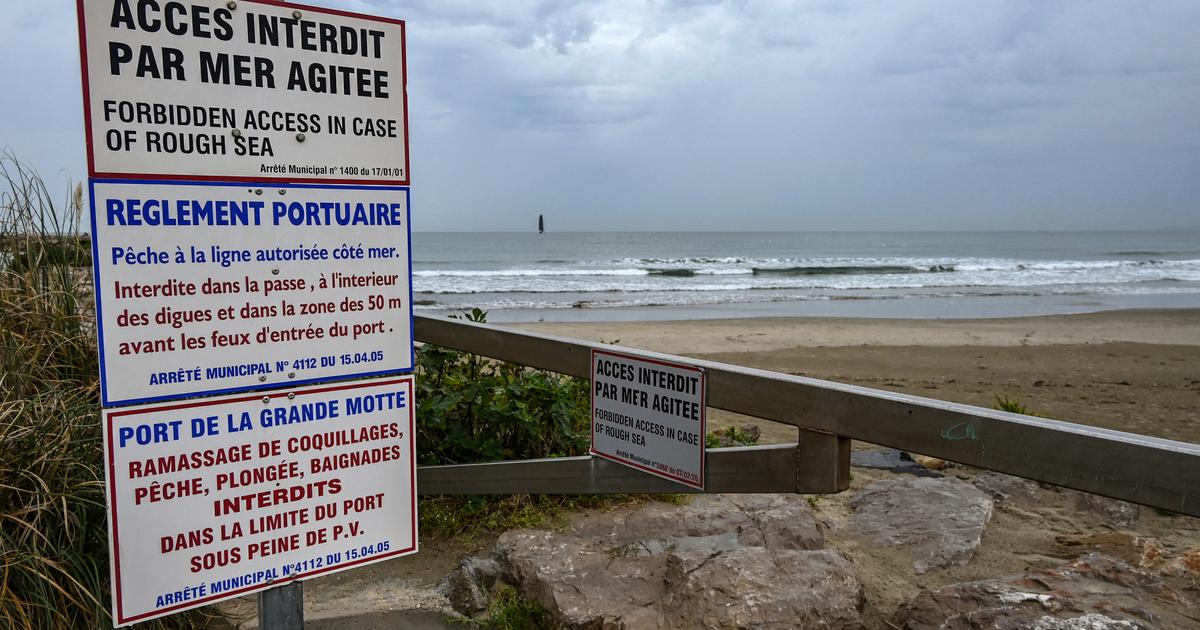
"Aggravating factor: soggy soils may encourage tree fall" in Manche and Finistère, warns Météo France, which states that the other departments of Brittany, Normandy, Pays de la Loire and Center-Val-de- Loire "will experience a strong gale with gusts often between 80 and 100 km / h and also heavy accumulations of rain".
Morning essentials newsletter
A tour of the news to start the day
Subscribe to the newsletterAll newsletters
Snow and snowdrifts in the Massif Central.
From the start of the afternoon, Aveyron, Cantal, Corrèze, Lozère and Puy-de-Dôme will experience heavy snowfall from an altitude of 800 m.
A lofty layer of 10 to 20 cm is expected, which can be up to 40 cm thick in places.
In the North-East, the rain-snow limit will be lower and it is 1 to 5 cm which should fall from an altitude of 400 m.
According to Météo France forecasters, the snow, heavy and sticky, will hold up well to the sound.
Due to a sustained wind, snowdrifts will form.
We must therefore expect disrupted road traffic for this return Sunday, particularly on the A89 and A75 motorways.