
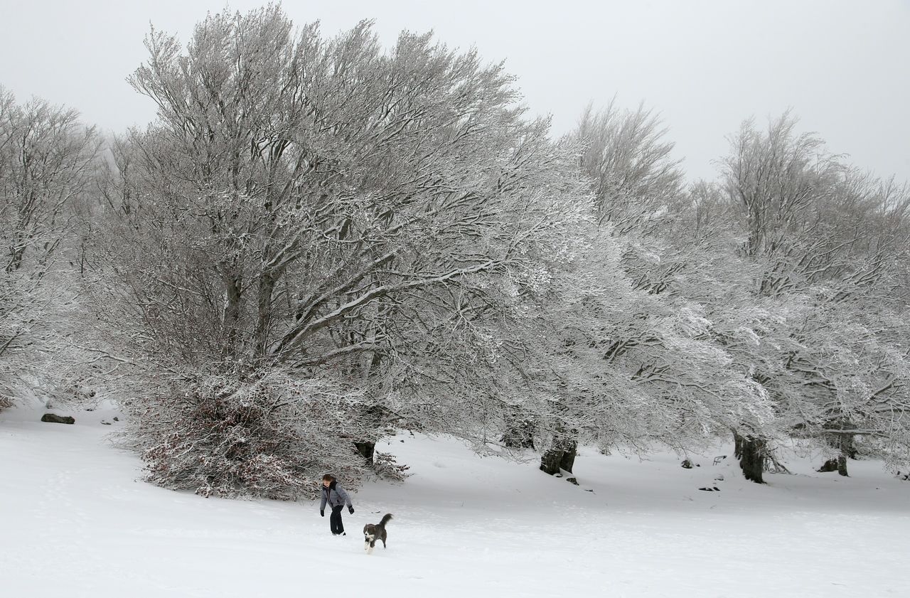
The end of the year is marked, this Thursday, by winter weather with snow in the north and east of the country and on all low-altitude reliefs, Météo France announces.
At 4 p.m., the meteorological institute placed three departments on orange vigilance for risks of snow and ice.
🔶 6 deposits in #vigilanceOrange
Stay informed on https://t.co/CSYEovTI83 pic.twitter.com/X5d2qw8Z44
- VigiMeteoFrance (@VigiMeteoFrance) December 31, 2020
Ardèche, Drôme and Isère are concerned (the latter department also being targeted by yellow vigilance for the risk of avalanches), due to "snowfall at very low altitude".
As the day before, the Landes, Gers and Tarn-et-Garonne remain in orange vigilance for floods.
Only Lot-et-Garonne is no longer concerned.
With rains in the morning from New Aquitaine to the northern borders and the Alps, it will snow in the plains in the northern and northeastern regions, and from 400/600 m on the Massif Central.
Snowflakes will show up as far as the Rhône valley.
During the day, snowfall will progress over alpine regions.
Further west, rain will replace snow.
On the other hand, snowfall will persist on the east of the Lorraine plateau and near the northern borders.
In the west the rain will replace the snow
With the development of showers along the North Sea, sometimes significant snowfall will be expected during the day in the interior of the Hauts de France.
In the north-west of the country, the sky will be variable with some clearings and some showers along the Channel and the Atlantic.
The clearings will return in the afternoon to Poitou-Charentes, the Center region and the Ile de France.
At the foot of the Pyrenees, snow will be announced on the west of the chain above 1000 m altitude.
READ ALSO>
Weather: the cold and the snow are coming!
In the evening, rainy weather will spread throughout the western half of the country, at the risk of bringing a little snow to the heights of Lower Normandy then, at the start of the night, to Upper Normandy and the west of the Massif Central from 400 m altitude.
After sweeping the northwest, the rainy disturbance will cross the country giving snow over the colder regions.
The Mediterranean regions will keep a very hazy sky with some possible showers over the Var and western Corsica in the afternoon.
The frosts, generally weak, will still be present over the eastern half of the country as far as the lower Rhône valley and in Provence.
In the west, the lows will go from 0 to + 6 degrees.
The maximums will show 1 to 5 degrees over the north and east of the country, 7 to 11 degrees from the southwest to the Mediterranean coast, 12 to 14 in Corsica.