A weekend of calm… before the storm.
After a good Saturday, the weather will quickly deteriorate on Sunday over a large part of the territory: the coming week will be nightmarish in terms of weather.
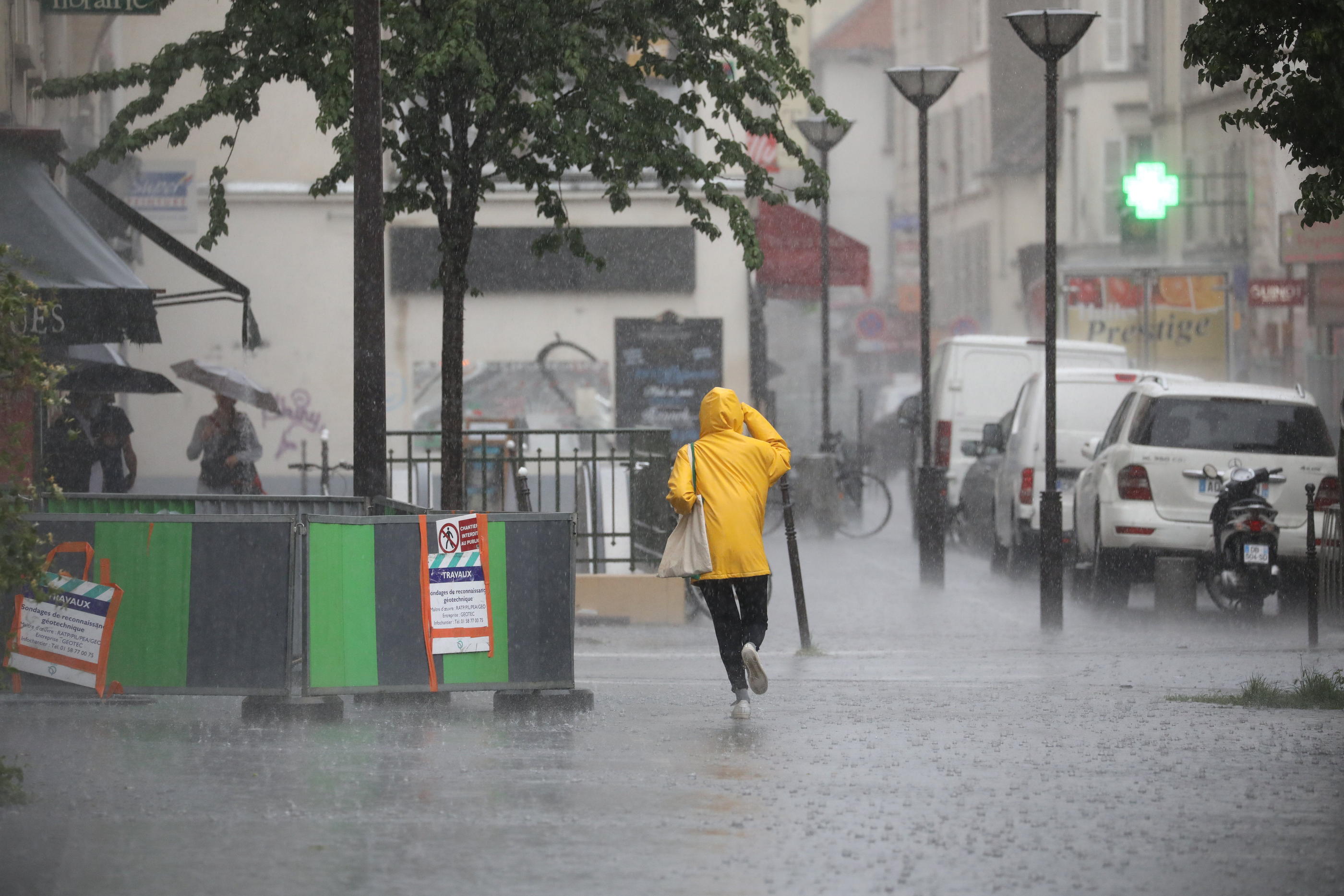
The weather on Sunday will be marked by a return of rain, even thunderstorms, from the northwest as from Provence according to Météo-France.
A few showers will circulate over Normandy, Ile-de-France and Hauts-de-France in the morning, sometimes accompanied by thunderclaps.
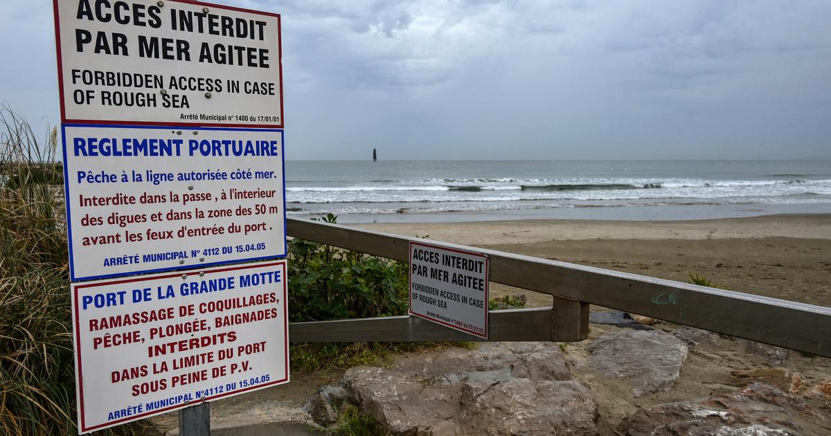
Gradually the sky will also load over the South-West, of which 10 departments have been placed in orange vigilance by Météo-France because of the risk of thunderstorms.
Two others, the Loire and the Haute-Loire, were affected by strong winds.
🔶 12 deposits in #vigilanceOrange
Stay informed on https://t.co/rJ24zzmmy4 pic.twitter.com/vaFhoU2wQ5
- VigiMeteoFrance (@VigiMeteoFrance) May 9, 2021
The first rains will start in Aquitaine before midday and will strengthen and spread over the North-West in the afternoon. In New Aquitaine and western Occitania, thunderstorms will sometimes be strong with strong gusts of wind, heavy rains and sometimes hail. This rainy and stormy weather will extend in the evening to Languedoc. Stormy rains will still overflow the north of the country to the Belgian border. Brittany and Cotentin will be spared by thunderstorms, the weather will be cooler under a very cloudy sky with a few drops. The eastern part of the country will also remain out of the way and benefit from warm and sunny weather despite the arrival of cloud banks in the afternoon.
In Provence the coastal morning clouds will thicken and gain the hinterland and the southern Alps, driven by a strong east to south-easterly wind.
Showers will start in the evening, before stormy degradation clearer overnight.
Strongest rain and storm degradation of the year
From Sunday evening, a strong stormy degradation will set in place from the southwest to the northeast, with sustained winds at the front, and temperatures plummeting at the rear.
For three days, a vast low pressure system from the Atlantic, and the associated disturbance, will slowly cross the country, hampered in their progress "by an anticyclone positioned over central Europe", explains The Weather Channel on Saturday.
On the program, "violent winds, with almost stormy gusts in the mountains, thunderstorms sometimes accompanied by hailstorms as well as heavy and lasting rains are likely to cause damage to crops, flooding of rivers descending from the mountains and floods in the plains ”.
The western regions will initially be affected this Sunday and the following night by strong winds and sometimes violent thunderstorms.
Then Monday and Tuesday "it will be the turn of the east and the south of the country to undergo these bad weather", explain the forecasters.
This is the first and strongest generalized rain and storm degradation since the start of this year 2021.