
A new, colder perturbation is expected for today.
Bad weather conditions in the Tyrrhenian regions and in Sardinia with intense showers, thunderstorms and even snow at 3-400 meters.
Weather was also disturbed in the Alpine sectors, especially in central-eastern Europe with snow at 4-500 meters, but with decreasing altitudes in the evening.
More sun or dry weather on the Po Valley.
Very strong Libeccio winds, mostly rough seas.
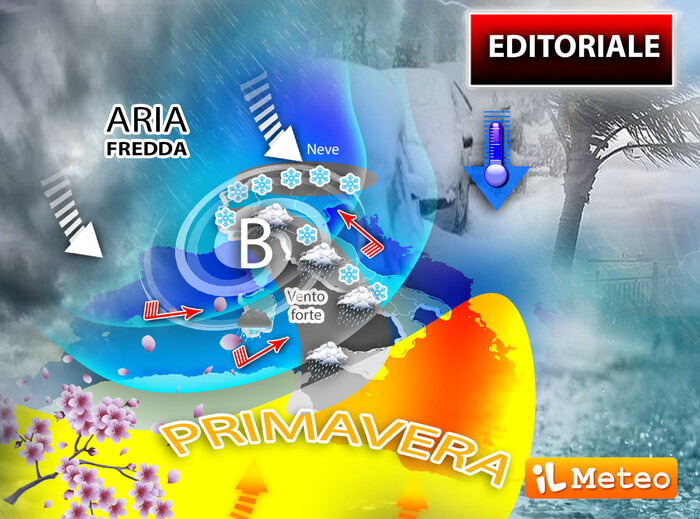
Thunderstorms, snowfalls even at low altitudes and wind: the vast depression area over most of Europe brings moist and moderately unstable air masses to Italy.
Sparse to widespread precipitation is expected, including storms, more intense and significant on the southern Tyrrhenian slopes, and snowfall up to low altitudes over much of the country.
Furthermore, the bad weather phase will be accompanied by a marked reinforcement of western ventilation.
On the basis of the available forecasts, the Department of Civil Protection in agreement with the regions involved - which are responsible for activating the civil protection systems in the territories concerned - has issued a new warning of adverse weather conditions which integrates and extends the previous one.
The weather phenomena, impacting on the various areas of the country, could determine hydrogeological and hydraulic criticalities which are reported, in a national summary, in the national criticality and alert bulletin which can be consulted on the Department's website (
www.protezionecivile.gov.it
).
The warning foresees from late evening strong to stormy winds, with gusts of strong storm, from the southern quadrants on Liguria and western quadrants on Sardinia, Tuscany and Lazio, especially coastal sectors.
From the early hours of
Saturday 2 April
, strong to stormy winds are expected, with strong storm gusts, from the western quadrants to Campania, Basilicata, Calabria and Sicily.
Strong storms will also be possible along the exposed coasts.
From today's night, snowfalls above 500-700 meters are also expected on Sardinia, Tuscany, Umbria, Lazio, Abruzzo and Molise, in extension to Basilicata and Calabria, where the snow level will be above 700-900 meters, with low to moderate contributions to the soil.
Lastly, from the afternoon of Saturday 2 April, the notice provides for the persistence of scattered to widespread rainfall, also of a reverse or thunderstorm character, on Campania and the Tyrrhenian sectors of Basilicata and northern Calabria.
The phenomena will be accompanied by strong showers, frequent electrical activity and strong gusts of wind.
IN DETAIL
Saturday 2
.
In the north: variable with snow at low hill altitudes, cold.
In the center: bad weather on Sardinia and the Tyrrhenians with snow up to 300 meters.
In the south: bad weather in Campania, Basilicata, Calabria, snow at 6-700 meters.
Sunday 3
.
In the north: some rain in Liguria.
In the center: some showers scattered on the Adriatic sectors.
In the south: rains on the Lower Tyrrhenian Sea then improvement.
Trend.
the weather will continue to remain cold especially in the morning, the first projection for the new week indicates the gradual return of Spring from Tuesday.