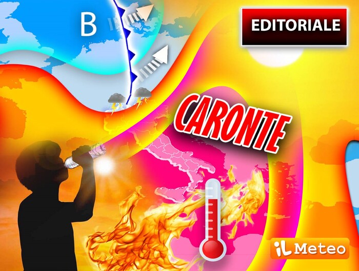
Charon's African heat wave has just started with the first 44 ° C in Sardinia and temperatures are expected to increase further over the weekend.
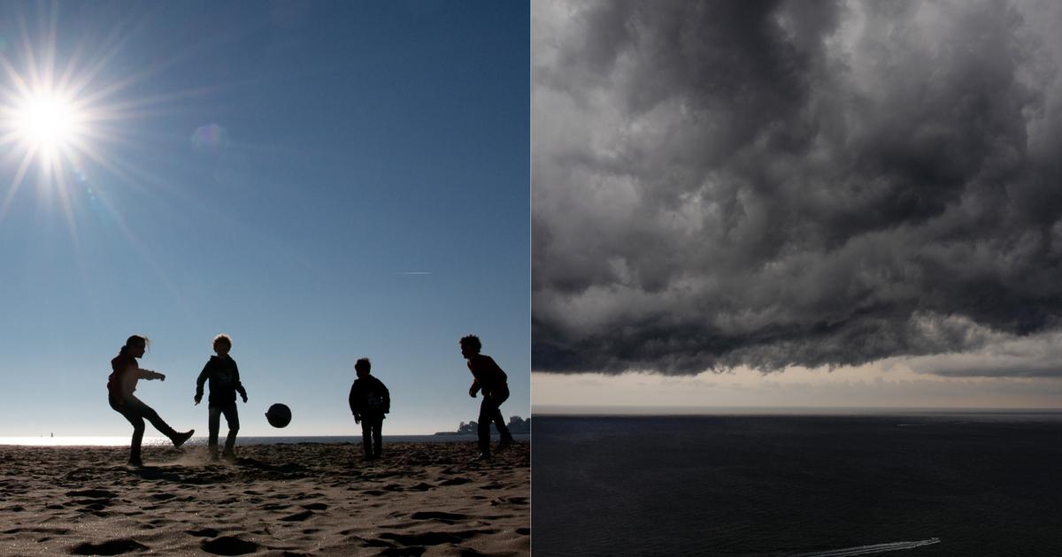
Locally, due to some storms in transit, in the North the maximums are undergoing slight and temporary decreases, but on the other hand the relative humidity and therefore the heat increase.
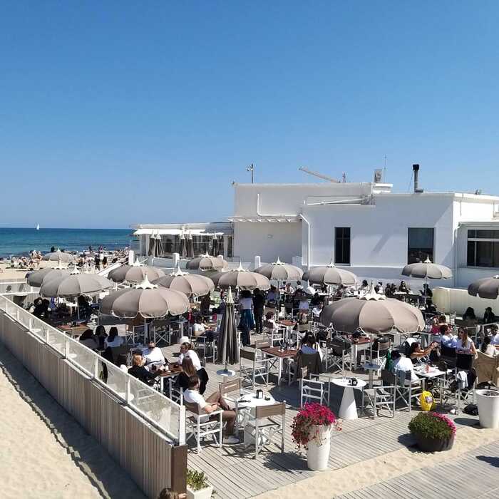
But the bad news does not end: Charon will come back overwhelmingly also in the North from the weekend and the worst will come early next week: 40 ° C in the shade everywhere, from the South to the Center and also on the Po Valley, with high levels of heat.
A low pressure on Spain will push Saharan air towards our country: a classic configuration, with a cyclone on the Iberian Peninsula that will send the Algerian-Tunisian air masses northwards, then towards Italy.
Let's see a little together, at this moment in Algeria and Tunisia the maximums are around 44/49 ° C: we can imagine what will happen by moving these temperatures to the north north-east.
We imagine it by analyzing the latest numerical forecasts of the iLMeteo Team: 40 ° C in Florence, 39 ° C in Bologna and Rome between Sunday 26 and Tuesday 28, 37 ° C in Milan and Naples, not to mention the extreme southern regions, which are closer to Algeria and Tunisia, where the forecast generally indicates 41/44 ° C with possible higher peaks in Sardinia and Sicily.
Andrea Garbinato, Editor of the website www.iLMeteo.it, recalls that at the end of June the maximum 'normal' temperature would be around 26 ° C in the North, 27 in the Center and 28 in the South: a quick calculation indicates that we will go up 13/15 Above average ° C.
In the 1980s, 32/33 ° C represented the typical summer highs of cities.
40% of agricultural land in the north is in a state of severe water difficulty.
However, it should be remembered that this drought arises from the year without winter: 2022 saw very hot temperatures, very little snow and values of 3/4 ° C higher even than in 2003.
IN DETAIL
Thursday 23
.
In the north: sometimes very cloudy, strong thunderstorms in Lombardy and possible also in the rest of the regions.
Center: often very cloudy sky, some thunderstorms in Tuscany.
In the south: hot with first peaks over 40 ° C.
Friday 24
.
In the north: sunny and very muggy, thunderstorms in the Alps and Prealps, very strong in Lombardy.
In the center: warm, but sometimes cloudy skies.
In the south: unbearable heat, first peaks over 42 ° C.
Saturday 25
.
In the north: sunny and muggy.
Middle: good and warm weather.
South: sunny and warm.
Trend
.
Charon inflames the center-south with peaks up to 43-44 ° C, heat in the north;
the super heat could last until early July.