Already considered catastrophic, the situation should not improve in the short term.
"A further rise in temperatures next week should further aggravate the already increased dryness of the soil over a large part of the territory, despite the storms this weekend", warned Météo France on Friday evening.
Thursday then Friday, lightning thundered in several departments, followed by showers located in particular in a large northeast quarter.
But that won't change much, nor will new thunderstorms that would occur by mid-August.
🌧️ #Rains welcome to the country yesterday, from the end of the afternoon until the night.
📊 Accumulations over 24 hours, recorded this early morning:
35mm in Argers
30mm in Nogent-sur-Seine
27mm in La Brosse-Montceaux
19mm in Crécy-la-Chapelle
8mm in Paris Montsouris pic.twitter.com/5bmQGb5e1I
— Meteo-France (@meteofrance) August 5, 2022
Experts distinguish several types of rain.
That during a storm is not ideal because it falls very hard and for a relatively short time, so without being able to irrigate the soil well in depth.
Serge Zaka, doctor in agroclimatology at ITK, takes the example of a very dry sponge.
“If you throw over a liter of water all at once, only the first millimeter of thickness will have absorbed water.
If you throw over a liter of water at the rate of a few drops per second, in the end the whole sponge will be full of water.
The ground behaves in the same way: a storm gives a large quantity of water but a very large part of it will run off to the rivers, then to the sea,” he explains.
A third of “effective” rainfall each year
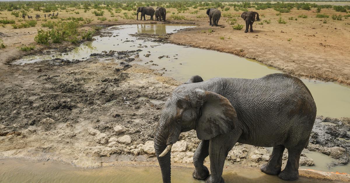
Thus, stormy rains can feed the vegetation near watercourses or even slightly raise the level of the latter.
They will moisten the surfaces and it is always good to take, but they will not have a big impact on the soils in depth.
Furthermore, "the drier the soil, the more a kind of crust forms which prevents it from effectively absorbing water", adds Serge Zaka.
Last May, the stormy rains had "contributed to attenuate somewhat the dryness of the superficial soils (between 0 and 40 cm deep)", but "the improvement is more limited when one takes into account the soils down to one meter deep, proving the difficulty of rainwater sinking into the ground”, deciphered the meteo-paris.com site.
Read alsoDrought and lack of drinking water: "We ended up making coffee at the Cristaline"
It is for this reason that one should not necessarily rely on the accumulation of precipitation to know if the state of dryness of the soil can improve.
It all depends on how fast the rain fell, and therefore how long it rained.
What is needed are so-called “effective” rains, that is to say not too strong and which manage to irrigate the soil in depth.
According to data from the Ministry of Ecological Transition up to 2014, just over a third of annual rainfall is considered "effective".
Rise in temperatures from Sunday
The problem is that the days to come are not going to be rainy at all.
Apart from possible localized thunderstorms like this Friday, no consistent episode of rain is expected by mid-August, according to Météo France.
“We don't expect effective rain for at least 10 days.
But we would need more than two weeks of rain with also temperatures not too high to prevent the water from evaporating, ”abounds Serge Zaka.
On this level too, the situation does not look encouraging.
After a clear "refreshment" this Saturday (except in the South-East), temperatures should start to rise again on Sunday.
35°C to 37°C are expected in the South, and more than 30°C in the North.
The government activated its interministerial crisis unit on Friday and this should allow “to anticipate the worst”, according to the Minister of Ecological Transition, Christophe Béchu.


/cloudfront-eu-central-1.images.arcpublishing.com/prisa/R65LZW6EVZDNDFZPK25RWRQTVY.jpg)