
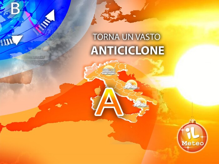
Comeback of the African anticyclone at least until the Winter Solstice.
After weeks of bad weather, especially in the Center-North in the last few days, the subtropical high pressure returns to guarantee more stable and sunny conditions.
Mattia Gussoni, meteorologist of the website www.iLMeteo.it, predicts a gradual improvement throughout Italy with large sunny spaces, but warns: with the high African pressure, during the winter, we often have fog and low clouds;
the weather will be very nice especially in the mountains, along the coasts and in the South, elsewhere there will be gray moments, at times gloomy.
From a thermal point of view, temperatures are expected to drop temporarily in the Alpine chain, where the cold will be biting at times even in a sunny context, while they will continue to be decidedly mild in the Centre-South and are also expected to increase slightly in the Po Valley .
Rain chapter: in the next few hours we will still have some instability with rainfall between Tuscany, the middle Adriatic and the North-East, then the rains should stop almost everywhere from the afternoon.
In fact, Sunday is expected to be dry and pleasant, except for some residual drizzle in the morning on the mid-Adriatic: only pay attention to low clouds and local mists in the Po Valley, locally they could persist even during the day between Lower Lombardy and Piedmont.
At the beginning of the new week, the African anticyclone will mount even more and bring good weather, disturbed only by mists and local low clouds, more likely in the Po Valley, Liguria and Upper Tuscany: elsewhere the sun will warm up to 15-20°C much of central and southern Italy.
In Sicily we will have a drop of 7-10°C compared to the values of the last few days (even exceeding 30°C yesterday), but we will still remain above the average for the period.
The African anticyclone will remain undisturbed over Italy until the Winter Solstice, from Wednesday 21 December then something will change slightly: a mild Atlantic perturbation will bring fast and localized rainfall between Northern and Central Italy for 24-36 hours;
subsequently a new improvement is expected with the return of an even stronger and more decisive African anticyclone: Holy Christmas, at the moment, is forecast as mild and sunny in the Centre-South, cloudy in the North with some rain between Liguria and Piedmont, but it is early to confirm it: in general, concludes the meteorologist, "the good news for holidaymakers is that on the horizon we can't see intense perturbations like those that have hit Italy in recent weeks".
In detail: Saturday 17th
In the North: last few rains in the Northeast then it improves.
Centre: scattered showers alternating with clear spells.
In the south: mostly sunny except for cloudiness and local accumulations in Campania.
Sunday 18th
In the north: sunny except for low clouds especially in the north-west.
In the centre: sunny except for drizzle in the morning on the mid-Adriatic.
In the south: sunny.
Monday 19
In the north: mists in the plains, low clouds in Liguria, sun in the mountains.
Middle: sunny except for clouds in Upper Tuscany.
In the south: sunny.
Trend
: high pressure until the Winter Solstice, Wednesday 21 December, then some showers;
rising temperatures.