
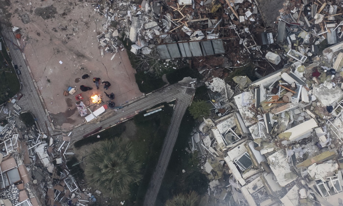
(ANSA) - ROME, 08 FEB - The first images from European satellites of Copernicus Rapid Mapping have arrived, highlighting the damage to the areas affected by the violent earthquake that struck Turkey and Syria.
They relate to 6 cities, including Antioch, Adana and Osmaniye, and those relating to 14 other areas will arrive in the next few hours.
Valuable maps to support relief efforts made with images collected from a wide range of European satellites, such as the Sentinels of the Copernicus programme, processed and analyzed by technicians from e-Geos, the Italian company that coordinates the European Copernicus Rapid Mapping service.
(HANDLE).


/cloudfront-eu-central-1.images.arcpublishing.com/prisa/E2SOPDAIKRGJPJY4T2WETDP77I.jpg)


/cloudfront-eu-central-1.images.arcpublishing.com/prisa/Z45E6KV7VJGUXAKJWH7VA4NJSE.jpg)


