Meet the cruelest catch of the world of travel: you like to stay away from people, to be alone in nature.
On the other hand, many believe that the emptier the itinerary is of people, this indicates that it is less attractive.
well no.
Because sometimes, the meaning of an empty track is that they simply haven't "discovered" it yet.
So it's true, there are no more geographical secrets, everything is already known and familiar and the trick is to simply travel during less busy hours and days.
But you will have to admit that a route called "from old Bari to the abandoned sulfur factory" will attract fewer travelers than a route named "following blooming lupins and flowing water in Nahal Tabor".
So let's go, to the abandoned sulfur factory (and a few more isolated Hamed corners Ltd.).
More in Walla!
Green with envy: the "pools" of the desert were filled with water
Each city and its route: 10 easy trips near the house
20 things you may not have known about Israeli nature
A smart test reveals the risk of stroke - now on special sale
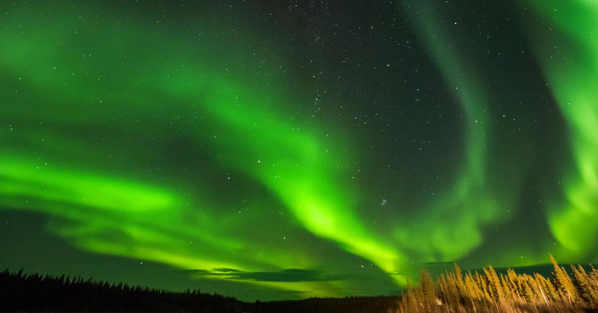
In the video: a proposal for a lovely trip to the Golan
A trip to the Golan Heights (photo: Ziv Reinstein, editing: Nir Chen)
Ridge again: the easternmost trip in Israel
This volcanic ridge in the east of the Golan Heights, which borders its Syrian neighbor, is decorated with oak forests and offers blooming of the cross-leaved sedge and large yellow sedge starting in the fall, but in the spring days you will get a wonderful bloom of blue sage, an impressive flower in blue and brown colors.
Is this the only reason to come here?
definitely not.
This ridge will provide you with a trip through European-like landscapes.
Parts of it have been declared a nature reserve, it rises to a height of about a thousand meters above sea level, and is decorated with several volcanic mounds.
Fortunately for you, they are of course dormant.
That is, here you will also be safe from a volcanic eruption.
Download and free: travel maps in Israel that you must have on your smartphone
. Although the trip is not defined as a circular route, you don't really need two vehicles to complete it, because you can simply travel and return to the car the same way, even before you reach the end point.
This is also a route that record lovers will be happy to do, simply because it is the most eastern trip you can do in Israel.
to arrive:
The route is circular and 4 km long. From road 98, about a kilometer and a half north of Aloni Hashan, turn east and park at the fork on the way to the Har Hatt post. From here, walk south along the green marked path to the end point, next to road 98 (slightly after the Ein Javiza spring).
Length The route:
about 4 km.
Difficulty level: easy.
More in Walla!
Solo on the trail: Israeli women who travel alone in nature
To the full article
The flowering starts already in autumn.
The crossword puzzle and a large yolk in the ridge again (Photo: Surfers' Photos, Gil Brenner)
Metzorim steep: for adventurous families plus
Another method to avoid crowds of travelers and other carriers of viruses is to follow challenging routes.
So if you have reasonable fitness, your children are used to difficult trips and you have no fear of heights - the Tzorim slope is your next trip.
And to make it difficult, add to the equation the fact that after the malicious decrease, there is also an equally malicious increase.
Here, the chance that you will meet families with small children who sneeze on you has already decreased.
Here, above the valley of Beit HaKerem - where the Lower Galilee and the Upper Galilee meet - the route that begins on the red marked path awaits you.
The climax of the trip comes in the form of a challenging descent from a lofty cliff, from which there are amazing views of the lower Galilee.
On the way down, don't forget to visit the Al-Khadr Cave, which is dedicated to Elijah the Prophet.
Further along the route, when the plain arrives and everything becomes calmer, cross Deir al-Asad and climb the cliff again to the starting point, where the ascent is on the green-colored path.
to arrive:
Camp next to road 854, between km markers 6-7, walk to the side of the road and turn south on the red path.
Route length:
about 4 km.
Difficulty level: difficult, and not suitable for small children.
A challenging descent from a sheer cliff.
Al-Khadr Cave in the Tzurim Escarpment (Photo: Eil Shapira, Eil Shapira)
Trust caves: caves without rating
Sometimes, even on incredibly beautiful spring weekends, you won't find a living soul here.
For some reason, this route, in the heart of the lowlands, is hidden under the radar of many travelers.
True, it does not have records, dramas, attractions and surprises, but it is definitely a pleasant and pastoral trip, one that pleases the eyes (and the soul).
And if you are a fan of caves, then you won.
The name "Trust Caves" refers to several hewn bell caves that are hidden not far from the Nahal Noam channel.
It is believed that these spaces were used as a place to store and raise various farm animals.
Today, the only animals you will find here are frightened pigeons that are surprised by the uninvited guests (and it's a good thing that the bird flu has already passed from the world).
This leisurely hike will also take you to a high vantage point where an isolated sheikh's tomb stands.
From here, the way back takes place next to spacious fields, colorful spring blossoms and low hills that are fun to connect to their side from the world.
to arrive:
From Route 35 south to Route 3415. A few tens of meters after turning to Moshav Lakish, turn right onto a dirt path marked Shivil Israel (orange-blue-white).
Pass next to the eucalyptus grove, and park in the next eucalyptus grove after it (total about 5.5 km from the turn from the road to the dirt road).
Start walking with a red marker and return with a blue marker.
Route length:
about 5 km. Difficulty level: easy.
A trip that hides under the radar of many travelers.
Samach Caves (Photo: Eil Shapira, Eil Shapira)
Nahal Kidod: the trip that goes to Arad
Now, after winter has given way to spring, the itineraries in the Judean Desert are filled with crowds of travelers who come to dip in the backwaters of the desert streams or to get panoramic views.
One of the lesser known routes, answers to the name Nahal Kidod.
Although it is not circular, if you arrived on a day when public transportation is operating, then the end point is located where there are several bus stops, straight to the starting point.
Did you arrive on Saturday or on a holiday?
Take care of the bounce car.
The path will take you to the dry channel of Nahal Kidod, where for a significant part of the route, the neighborhoods of Arad will accompany you from afar, so that you will always know where you are in relation to the city.
The route passes rocky bulbous fields, meets several caves, climbs to a ridge above the stream and descends to it again like a "yo-yo".
Here and there you will meet tiny and cute bodies of water, until you leave the river bed and climb west to the ridge at the end of which awaits you Mitzpe Moab, with Tomarkin's huge "plane" sculpture.
This is the end point, in front of the high view and the inspiring statue that dominates everything.
Getting there:
Camp in the area where Mishmar and Zur streets meet in Arad (the descent to the road leads to Masada).
From here look for the green hiking trail that leads to the wadi.
The end point is at the northernmost point of Moab Street in Arad.
The hiking trail is marked in green, and you have to follow it carefully, since sometimes it tends to disappear.
Route length:
about 4 km. Difficulty level: medium.
Here and there you will meet tiny and cute water gabi.
Nahal Kidod (Photo: Eil Shapira, Eil Shapira)
Covered sands: fly over the dunes
What's further from a virus-ridden city than remote sand dunes that just beg you to roll off of?
And all this, after a particularly long drive, which only increases the speed of the turns and the joy of the trip.
The hiking route passing through Kasui sands in the south of the Arava is short and easy.
It moves on top of black trail markings from where you connect to the green marked trail.
On the way you will find several dunes, but wait for the real candy: the big dune.
All this, next to an intoxicating desert view of Bekat Ovda.
Pleasant roll.
To get there:
drive on road 12 and south of the Shezphon junction turn towards the "Ovda" base.
Drive a few kilometers by car, and you reach the sign announcing the nature reserve.
Route length:
about 2.5 km. Difficulty level: easy.
Sand dunes that just beg you to roll off of them.
Covered sands (Photo: Photo: Dobi Tal, PR with an employee)
From old Bari to the abandoned sulfur factory
Do you have it under a less cool name?
And maybe this name turns on exactly who it should turn on?
The under-the-radar travel enthusiasts.
During the spring days, the area itself is certainly not deserted.
And this is due to the beautiful blossoms in this region of the Western Negev.
On the other hand, this specific route remains relatively unknown.
Just keep in mind that the Gaza Strip is just a shout away, so it is very worthwhile to be informed in advance of the security situation.
Camp in a beautiful hiker parking lot with play facilities, a small basketball court and lots of picnic areas.
Leave it for dessert after the trip.
From here you walk along the road to Nachvir, this is what is left of old Bari.
There is an impressive water tower here and also a locked security house, with marks of gunfire engraved on its walls.
Continue on foot west on the road (known as the concrete road"), then south at the intersection, according to the signs for the sulfur factory. A few hundred meters more, and turning right will bring you to the abandoned factory, evidence of the fact that in the 1930s a bubbling deposit of sulfur was discovered here, which was used for industry. Wandering through the factory The abandoned is a paradise for photography enthusiasts, and also for adventurous children. Just keep a close eye on them.
From here you return to the road, cross it and continue on the blue path to abandoned quarries, with great rock formations and lots of options to get lost, in a small way. Don't worry, the end point is constantly looming in front of you - in the form of The big grove where you parked the car. So take your time, and enjoy every moment.
Getting there:
From road 232 to Kibbutz Bari.
You do not enter the kibbutz, but bypass it on the road marked by Adom, towards the tourist parking lot located in front of the Nachvir site.
Route length:
about 3.5 km. Difficulty level: easy.
This particular route remains relatively unknown.
The Old Bari (Photo: Eyal Shapira, Eyal Shapira)
The Syrian headquarters near Quneitra: following Eli Cohen
We open with a warning: the entrance to this special place is the responsibility of the travelers due to the risk of collapse.
On the other hand, there are places that are hard to refuse.
Even if they automatically crash (or not).
for your consideration
Here, in the north of the Golan, stands a building that was used as a Syrian headquarters during the Six Day War, and a wander through the rooms of the place carries with it a slight fear that here, at any moment, a stern Syrian officer is supposed to come out of one of the rooms.
but no.
Probably only you will be here, in this surreal space.
Here stretch long corridors, countless rooms whose windows overlook a rugged landscape, and also lots of inscriptions and graffiti paintings, which have been added to the place over the years.
You can also carefully climb to the roof (pay attention to the huge hole left by the bombings of the Israeli Air Force planes) and get a panoramic view.
You will not find more surreal than this in this part of the Golan.
By the way, whoever provided the N.C.
The one responsible for those bombs was the Israeli spy Eli Cohen, and in fact this headquarters is one stop of the "Eli Cohen Trail", a car trip with short hops, which stretches for about 75 km from the south of the Golan to the north, along the sides of Highway 98. And in general, if you are in the section of isolation, there's nothing like a trip in your own car.
Getting there:
From Highway 98, turn right at the T-junction after the 73rd km mark.
The entrance to the building is the responsibility of the travelers.
For information on the complete "Eli Cohen" route: www.elicohen.org.il.
* The routes require a trail marking map and the route's "road story".
Lots of inscriptions and graffiti that have been added to the place over the years.
The Syrian headquarters near Quneitra in the Golan (Photo: Eil Shapira, Eil Shapira)
tourism
Tags
Trips in the country
Traveling with children
Tracks