Over the course of the week that has just begun, the weather will continue to remain very unstable in many regions, due to the arrival of an insidious "cold drop" coming directly from Northern Europe.
Spring is therefore ready to show its most crackling side again, with new occasions for rains and thunderstorms and cold temperatures for the period.
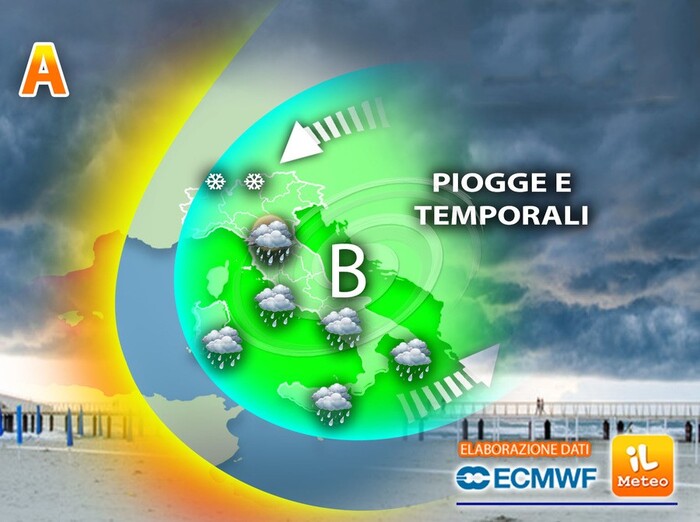
Antonio Sanò, founder of the website www.iLMeteo.it, communicates that within the next three days we will have to deal with a vast depression circulation that will still be present in the Mediterranean basin, continuously fed by cooler currents descending from the northern sectors of the Old Continent.
It is a low pressure area that will keep the atmospheric conditions unstable over large sectors of Italy, favoring the development of storm cells, especially during the afternoon hours.
Initially, the areas at risk will be the
central-southern regions and the two major islands
where the risk of dangerous hailstorms is not excluded, given the rather heated contrasts between different air masses.
From Wednesday it will also be the turn of the North
, where the probability of thunderstorms in the afternoon will increase, especially in the Northeast.
Between the Scandinavian Peninsula and Russia there is a vast area of low pressure filled with cold and unstable air of Arctic origin: in the next few days the mighty structure will drop in latitude to affect a large part of Eastern Europe;
subsequently, a core or cold drop will detach from the depression which will further lower in latitude, until reaching our country during the final part of the week, triggering a rather important bad weather phase.
Starting from Thursday 20 the effects of this particular meteorological figure could begin to be felt in Italy too.
Given the strong thermal and hygrometric contrasts expected, the danger would concern the Northern and Adriatic regions: the fresh incoming currents could act as a trigger for the genesis, in these sectors, of violent storm phenomena, with a high probability of hailstorms and local downpours as unfortunately the recent news teaches.
In
detail:
Monday 17
in the north rains in Emilia, lots of clouds elsewhere.
In the middle: bad weather on the Adriatic and unstable on Lazio.
In the south: gradually more rainy everywhere, less in Sicily.
Tuesday 18
in the north partly cloudy, mild.
In the middle: widespread instability across all sectors.
In the south: thunderstorms and rains on all the peninsular regions and on the north of Sicily.
Wednesday 19
in the north from sun to bad weather with even intense thunderstorms.
Middle: widespread instability.
In the south: thunderstorms and rains on the peninsular sectors.
Trend:
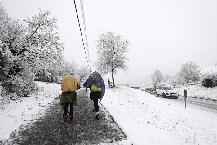
sharp worsening of the weather from north to south between Thursday and Friday, with snow in the Alps.