The heat returns but May Day will be ruined by a cyclone and the drought in the North-West continues
.
In recent days the rains have been frequent and even intense, but once again they have avoided the dry North-West: for those thirsty regions, however, there is interesting news on the horizon.
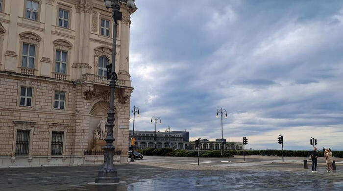
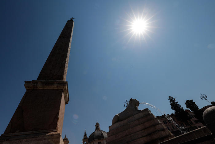
In the meantime, the heat is trying and will bring temperatures above 30°C in Italy between today and Saturday.
Andrea Garbinato, editorial manager of the website www.iLMeteo.it, confirms the first attempt of the African Anticyclone to bring summer connotations to Italy.
It will only partially succeed, while it will unleash the hellish heatwave in Andalusia with temperatures 12°C above the average for the period.
Peaks of 38°C in the shade are expected in the Seville region in April, breaking any previous record for this month.
In Italy, however, only the eastern edge of this hot blaze will arrive: peaks of 30°C are expected on the Major Islands, in particular peaks of 32°C in the shade in Sardinia between tomorrow and the day after tomorrow.
In the next few hours and days, therefore, the weather will be beautiful and sunny everywhere except for
the first signs of change on Saturday in the North.
The change will be important, drastic and heralding an important novelty for the North-West: from Sunday 30 April a lot of rain will arrive, for at least 2 days, from Piedmont to Lombardy, from Valle d'Aosta to Liguria, essential water for the lakes , groundwater and river flow.
In fact, we must remember that Lake Garda, for example, has reached its lowest level since 1953, while the winter season has left a snow deficit in the Alps of 64%.
Alarming numbers that have continued to surprise us for two years, unfortunately negative: for this reason, the abundant rain expected between Sunday and Monday 1 May will be welcome in the North-West.
On Sunday 30 April an Atlantic perturbation will reach Italy
, causing the deepening of a vortex on the Ligurian Sea: the humid southern currents will bring rain to the North-West, then also along the entire Tyrrhenian side, including Sardinia;
it will go better, in a first phase, on the eastern Italian sector.
On May 1st this vortex will spread locally intense rainfall
also towards the rest of the Centre-North, and then gradually also towards the South. At the moment, the weather trend sees this vortex in action at least until Wednesday 3 May, postponing the beginning of a possible early hot summer phase (as happened last year with the extreme heat that began in early May): more rain and less heat is an equation we like, even if unfortunately it will disturb another holiday period long;
the 'curse of the bridges' seems to be underway after April 25th was marred by violent rains and hailstorms.
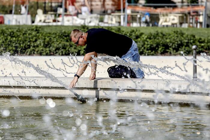
But there is still time for the oppressive and suffocating summer, let's enjoy these 'pre-global warming' climate temperatures.