
A further worsening of the weather is on the way: a cyclone forming on the Ligurian Sea will bring storms, wind, storms and lots of snow to the Alps. This is what Antonio Sanò, founder of the website www.iLMeteo.it, announces.
"Moderate rainfall is expected in Lombardy and Emilia - he states - at times heavy from Eastern Liguria to the Triveneto. We will also have heavy rainfall at times on the Tyrrhenian side of the central regions, with some phenomena reaching as far as Campania. The worst will hit the alpine and pre-Alpine sectors of Friuli Venezia Giulia where up to and above 100 millimeters will fall".
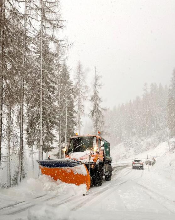
Snow will fall in the Alps initially above 1200 metres, decreasing to 800 meters in the evening with very abundant amounts in Friuli Venezia Giulia.
On the Apennines the snow level will still be a little high in the morning, around 1400-1600 meters in the northern sector, decreasing to 1200 meters from the afternoon to evening.
Above 1700 meters on the rest of the central Apennines, decreasing in the evening up to 1300 meters.
The Libeccio will blow strongly along the entire Apennine ridge, but the winds will be strong almost everywhere.
During the weekend the situation will partially improve in the Centre-North while in the South there will be heavy rain and showers.
From Sunday afternoon a new and intense worsening is expected in the central-northern regions.
In detail:
Friday 23rd
.
In the north: widespread rainfall, especially in Liguria and the north-east;
lots of snow in the central-eastern Alps.
In the centre: widespread rainfall especially on the Tyrrhenian side.
In the south: it gets worse in Campania.
Saturday 24th
.
In the north: unstable with scattered rain from the afternoon/evening, snow in the Alps. In the centre: afternoon showers especially in Tuscany and Sardinia.
In the south: widespread bad weather with rain and showers.
Sunday 25th
.
In the north: worse in the evening in the Northwest.
Middle: good weather.
In the south: bad weather with rain and showers, intense in Sicily and Calabria.
Trend: rain and thunderstorms for many days.
Reproduction reserved © Copyright ANSA