
The first weekend of March is greeted by snow.
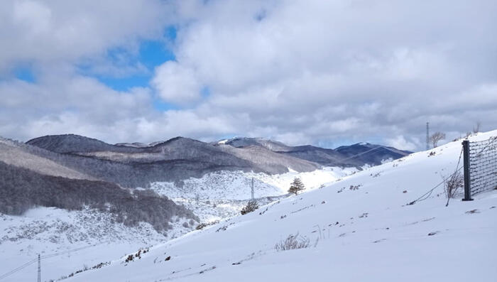
In fact, record snowfalls are announced, up to 150 centimeters in 24 hours, in "one of the heaviest snowfalls in the last 10-20 years in some areas of northern Piedmont and eastern Aosta Valley", observes Mattia Gussoni, meteorologist, in a note of the website www.iLMeteo.it.
Furthermore, more rain is expected due to an Atlantic trough, i.e. a low pressure area that is wedging the Ligurian Gulf from the Atlantic Ocean, generating bad weather conditions, with rainfall also in the next week especially in the Centre-North.
While some clear weather is expected on Saturday in the South and on the Adriatic side, with a few rains intensifying only in the North-West in the evening, the peak of the bad weather is expected for Sunday 3 March.
The cause, continues the note, is "a flow of unstable North Atlantic air, entering from the Rhone Gate (France)" which will cause an area of low pressure over the Ligurian Sea.
It is the phenomenon known as the 'Ligurian Depression', or 'Genoa Low', linked to the orography and the unstable flow from the Atlantic.
This area of depression will generate very humid sirocco currents towards the Alps of Piedmont and Valle d'Aosta, with snowfalls which, according to the meteorologist, could lead to around 150 centimeters in 24 hours above 1,200-1,300 meters above sea level.
Also on Sunday, bad weather is also expected in the Triveneto area and, from the afternoon, towards Tuscany and Sardinia.
Reproduction reserved © Copyright ANSA