Damascus-Sana
Syria is experiencing a low average effectiveness and natural at this time of the year starting tomorrow evening in the coastal areas and northwestern and culminating on Wednesday morning to include the northern regions and the island and some central regions and ends next Thursday evening, according to weather forecast Shadi Gawish.
Gawish said in a statement to SANA that rain will be on Wednesday in different parts of the country, but the chance of rain on Damascus and the southern region is generally weak as a result of the move downward to the northeast to cover the coastal areas and the north and the island.
Temperatures will be tomorrow, according to Gawish, above average, dropping slightly from the evening until Wednesday and Thursday "low days" up to two degrees to three degrees during the day and at night it is relatively cold because of the presence of clouds.
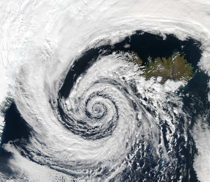
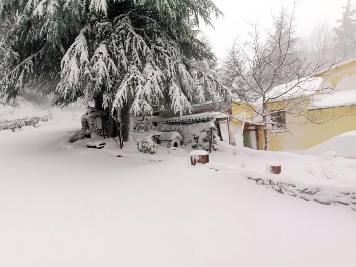
Gawish explained that there is no stormy weather or strong winds or very cold weather as is trading on social networking sites, pointing out that this low of natural depressions that come permanently at the end of autumn beginning of winter called Mediterranean depressions originating in the Mediterranean and advancing towards the eastern Mediterranean They reach Syria and then head north-east or south-east and continue until the end of the winter and the temperature gradually decreases to the coldest. Any rainfall on the heights above 1500 meters and above is expected to be accompanied by snow.
Ali Ajeeb
Follow the latest news through the Telegram app on smartphones via the link:
https://telegram.me/SyrianArabNewsAgency
Follow our page on the social networking site VK at:
http://vk.com/syrianarabnewsagency