
the weather
Written by: Deng Haixing and Liu Ding'an
2020-07-31 07:14
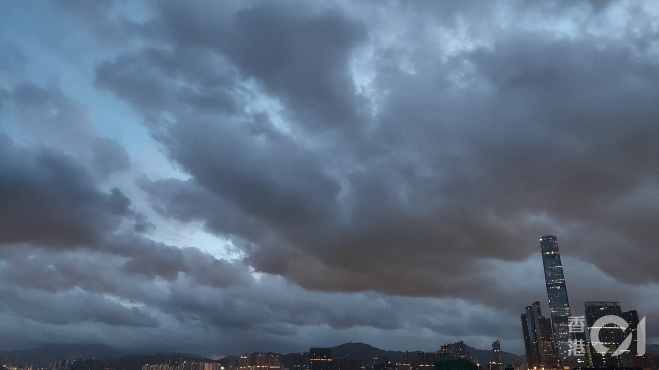
The last update date: 2020-07-31 07:14Thunderstorm warnings and strong monsoon signals are in force, and strong gusts of 80 kilometers per hour or more are expected to hit Hong Kong. The Observatory pointed out that a wide area may be affected by heavy rain in the short term; and the monsoon low in the central and northern part of the South China Sea will move to the Hainan Island to the Beibu Gulf in the next few days and may develop further. In the next few days, there will be occasional strong winds, squally heavy showers, thunderstorms, and swells on the coast of South China. The Observatory will monitor closely.
At 7 o'clock in the morning, the Observatory recorded a temperature of 27.2 degrees and a relative humidity of 89%; the highest UV index today is predicted to be about 8, indicating a very high intensity.
(Observatory website)
The monsoon low pressure in the north-central part of the South China Sea is bringing showers to the coast of Guangdong.
Weather Overview: Today, Hong Kong is generally cloudy with occasional squally showers and thunderstorms. The initial rain is sometimes quite heavy. The temperature ranges from 26 to 31 degrees, and the breeze moderates to a fresh easterly wind. There are occasional strong winds offshore and on high ground.
Observatory outlook: In the next few days, there will be strong winds, swells on the sea, squally heavy showers and thunderstorms.
(Observatory website)
Weather forecast