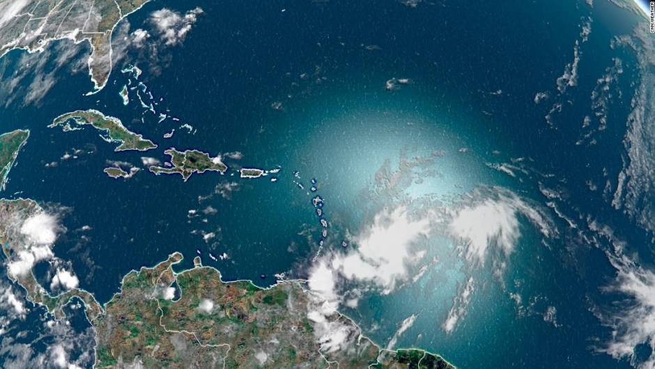
(CNN) - Isaías, the ninth named storm of 2020, formed on Wednesday over the Caribbean Sea, says the National Hurricane Center (NHC).
The storm is generating sustained winds of 80 km / h that extend up to 555 km, and is currently about 250 km south of Ponce, Puerto Rico, NHC said.
Isaías is forecast to make landfall in the southern Dominican Republic before noon on Thursday and then arrive near Florida over the weekend.
Florida uncertainty
Forecast models are divided. Some show a weak storm hitting the west coast of Florida, while others show a much stronger storm hitting the eastern side of the state and moving toward the Carolinas.
The interaction of the storm over Hispaniola could affect the intensity of the storm.
"The eventual track will determine Isaiah's strength and potential future development," said CNN meteorologist Chad Myers. “A path primarily over water will allow the storm to strengthen. One more path over the land and mountains of Hispaniola and Cuba will help to disrupt it. ”
However, once it overcomes the warmer waters, the storm could quickly strengthen as seen with Hurricane Hanna last weekend. Something that many of the models struggled to understand.
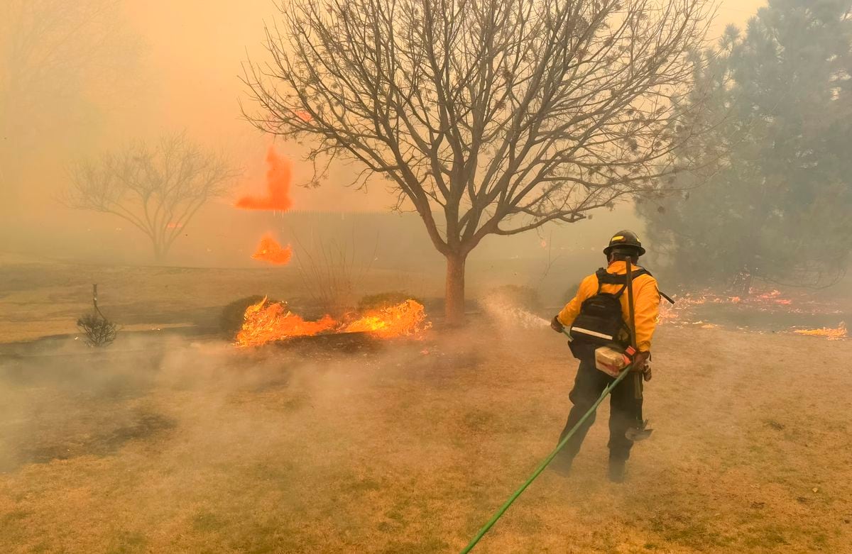
LOOK : Tropical storm Hanna leaves dead and missing as it passes through Mexico
Tropical storm warning
Rain will be the main concern in the coming days. More than 7 to 15 centimeters could fall in the Virgin Islands, Puerto Rico, the Dominican Republic, Turks and Caicos, eastern Cuba, and northern Haiti. Southeast Bahamas could see 10 to 20 centimeters. This could lead to flash floods, landslides, and possible riverine floods.
Tropical storm warnings are issued for Puerto Rico, the US and British Virgin Islands, the north and south coasts of the Dominican Republic, and the north coast of Haiti from Le Mole St Nicolas to the border with the Dominican Republic. Tropical storm force winds are expected within the warning areas.
Why it was originally called Tropical Cyclone Potential Nine
Now that it has been given the name Isaiah, it is the earliest recorded storm that has started with "I." The previous record was set on August 7, 2005, part of the busiest season to date.
This continues the record pace of the 2020 Atlantic hurricane season. Hurricane Hanna broke the record for the earliest storm with an "H" name for 11 days.
There were tropical storm warnings issued even before the storm formed. The reason it was called "Potential Tropical Cyclone Nine" is because the storm did not have a round circulation center, says CNN meteorologist Chad Myers. Instead, it was very long. "When a circular center finally formed, that's when they started calling it a tropical storm."
By calling it a possible tropical cyclone, countries are allowed to issue alerts and warnings.
Storm