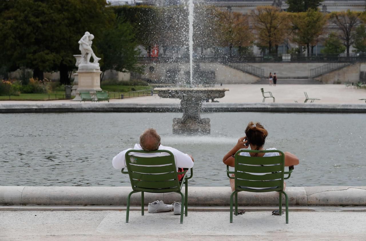
France suffocated. As expected, this Friday was the hottest day of the week. In the afternoon, the 40 ° C mark was notably crossed in the center of Lyon (40.3 ° C) in the Rhône or in Figari (40.7 ° C) in Corsica. Ile-de-France also suffocated a good part of the day: 40.3 ° C in Gometz-le-Châtel (Essonne) or 40 ° C in Saint-Maur-des-Fossés (Val-de-Marne) . Paris reached its peak temperature with 39.3 ° C. Nationally, "such a level of temperatures […] will only have been reached or exceeded during the scorching episodes of 2003 and 2019", specifies Météo France.
The night from Thursday to Friday had already been particularly hot with records broken for minimum temperatures, recorded during the night, in Brittany. This is the case in Rennes (Ille-et-Vilaine) where we reached 22.2 ° C, in Dinard with 21.7 ° C or even in the Côtes-d'Armor in Saint-Cast-le-Guildo ( 19.8 ° C). The mercury had not fallen below 22 ° C in Paris, 23 ° C in Biarritz, Lyon and Toulouse, 24.6 ° C in Nice, and 25 ° in Bordeaux. In large cities, the heat rises quickly and stays overnight. This is called an "urban heat island", that is, a temperature difference with the surrounding rural areas.
More refreshing weather on Sunday
After the heatwave, a first thunderstorm formed at midday between Loir-et-Cher and Eure-et-Loir, dropping the temperature to 22 ° C in places. A degradation which then widened at the end of the afternoon towards the east of the Center, the West Burgundy, the Île de France and the Hauts de France. And north in the early evening. This Friday morning, Météo France had placed 19 departments on storm vigilance. That of Hauts-de-Seine in particular had to close its parks and gardens in the middle of the afternoon.
The mercury will generally drop this Saturday, but "temperatures will remain very high in a large south-eastern quarter: from the Rhône-Alpes region to the Paca region", Météo France tells us. The heat will drop in the English Channel, and all along the Atlantic coast. The Southwest will not escape this drop in mercury either. The risk of thunderstorms will extend from the Pyrenees to the Grand-Est, passing through Burgundy. We will have to wait until Sunday to have refreshing weather, "more bearable" adds Météo France.
However, we are not quite finished with the surge in mercury. From the middle of next week, several models envisage a new episode of high temperatures over several days. “We have a small scenario that emerges around next Thursday. But, we are still far from the deadline. So let's be careful, ”warns Météo France.

