
the weather
Written by: Ni Qingjiang
2020-08-02 04:24
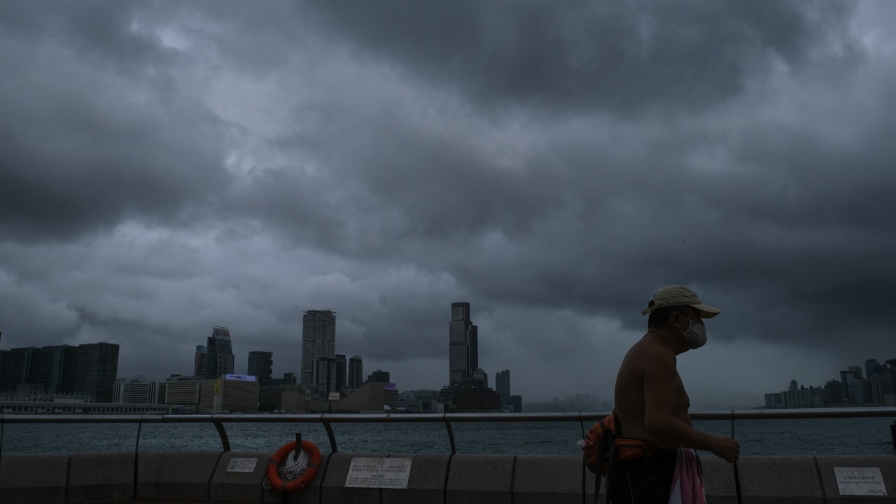
Last update date: 2020-08-02 04:24The tropical depression Senrak entered the Beibu Gulf between Hainan Island and Vietnam last night, and the Observatory cancelled all typhoon signals late at night. However, the cloud belt of Senrak still affects the Pearl River Estuary, bringing squally heavy showers and thunderstorms.
The Observatory issued a weather warning at 4 am today (2nd). It is expected that strong gusts of up to 80 kilometers per hour or more will hit Hong Kong. The effective time is 7:00 am today. It is expected that Hong Kong will have squally thunderstorms in some areas. At 3:50 am, strong gusts exceeding 70 kilometers per hour were recorded on Waglan Island.
+5
+4
+3
The Observatory today forecasts that it will be generally cloudy with occasional squally showers and thunderstorms, and sometimes heavy rain. The temperature ranged from 26 to 29 degrees, and the winds moderated to fresh east to southeast winds. At first, there were strong winds offshore and on high ground, and there were swells on the sea.
Typhoon No. 3 maintains the observatory’s forecast of tropical depression during the day
The Hong Kong Observatory jumped to issue No. 3 typhoon tropical cyclone to pass 400 kilometers southwest of Hong Kong
The South China Sea low pressure area gradually strengthens to form a tropical cyclone observatory plans to jump to issue No. 3 typhoon signal at night
Tropical depression "Senrak" far away from Hong Kong "Hagupit" will hit eastern China in Taiwan
Hong Kong Observatory Weather Forecast Typhoon