
the weather
Written by: Deng Haixing and Huang Weimin
2020-08-12 07:10
Last update date: 2020-08-12 07:10The thunderstorm warning is now in effect. At 7 o'clock in the morning, the Observatory recorded a temperature of 27 degrees and a relative humidity of 94%; the highest UV index today is predicted to be about 6, indicating a high intensity.
(Observatory website)
A southerly airstream is bringing showers and thunderstorms to the northern part of the South China Sea and the coast of Guangdong. The showers in Hong Kong this morning brought more than 10 mm of rainfall to most areas; Tsuen Wan even recorded more than 30 mm of rainfall.
At 5 o'clock in the morning, the tropical depression in the Northwest Pacific gathered about 410 kilometers west-northwest of Iwo Jima. It is expected to move west-southwest at a speed of about 26 kilometers per hour, roughly moving toward the Ryukyu Islands.
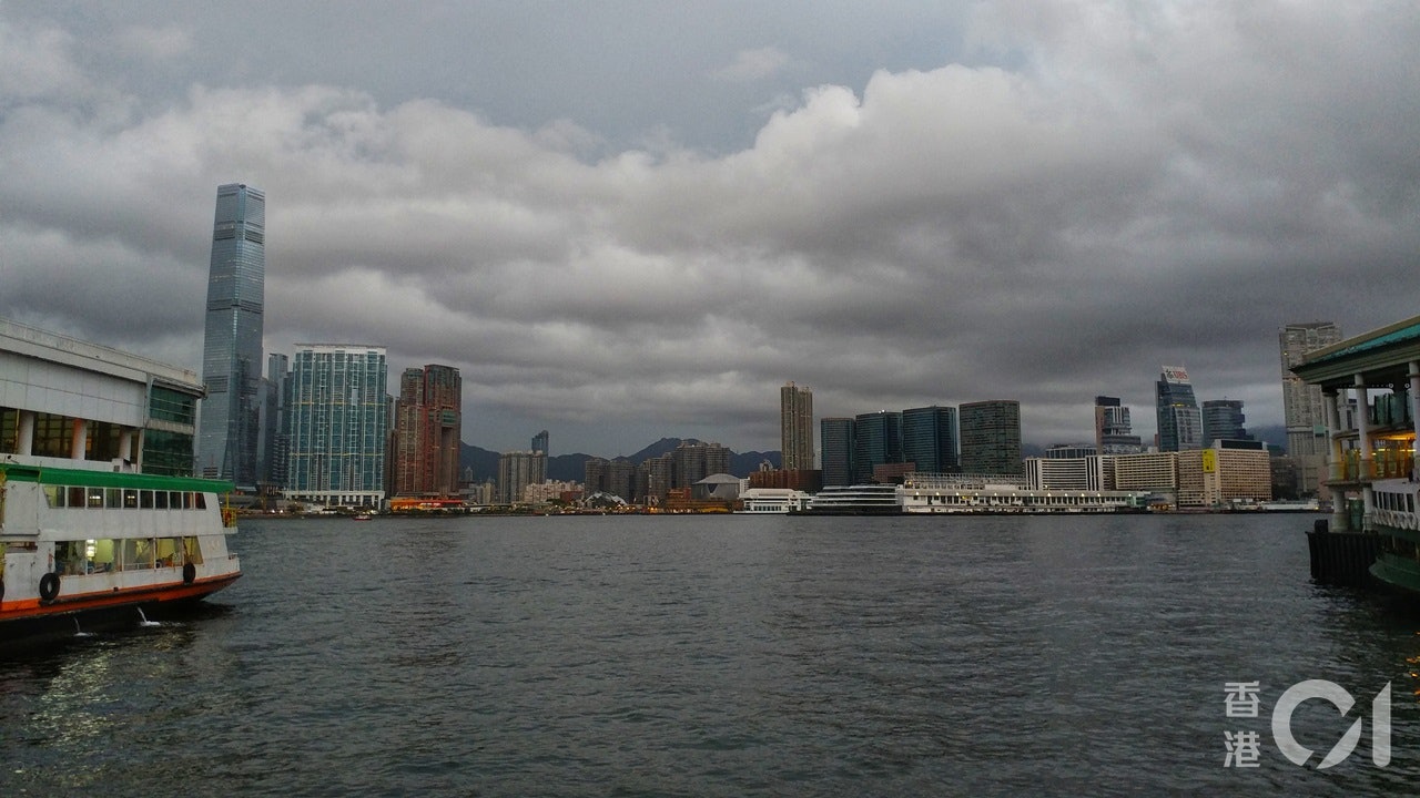
Weather Overview: Hong Kong is generally cloudy today with showers and squally thunderstorms; the highest temperature is about 30 degrees. The wind from the south to the southeast was moderated, and the offshore wind was refreshed occasionally.
Observatory outlook: There will be showers and thunderstorms tomorrow, and the showers will decrease in the next one or two days; the weather will be very hot early next week.
Weather forecast