For the vacation at home we have created a bike tour through the district. The "Tour de Landkreis" is 141 kilometers long, divided into six stages. Today: Garching to Feldkirchen.
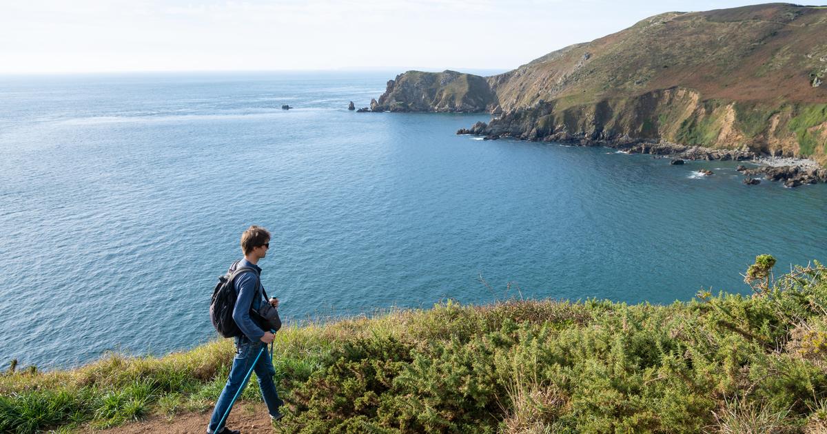
Landkreis - Pack (t) your swimming trunks: The hit from 1951 by Cornelia Froebess is the perfect motto for the second stage of the "Tour de Landkreis", because the 25.1 kilometers from Garching to Feldkirchen are teeming with people Opportunities to jump into the water for a moment.
The first water point on Lichtenbergstrasse is just something to look at, a flowing work of art on the TUM campus. To leave and to reach the Isar cycle path: GPS and / or a map are helpful. The shortest way is through James-Franck-Straße: through a university cube on a path, at the first fork right, then left onto a bridge over the Garching Mühlbach, and you are on the Isar. From technology to nature.
The Isarsteg near Ismaning from a bird's eye view, taken from the north with a camera drone - the wind turbine at the Allianz Arena can be seen in the background.
© Thomas Rychly
And it remains close to nature now. We stay on the west side of the river until the striking Isar bridge (also known as the Koloman bridge) near Ismaning. On the bridge we let the photo drone rise, then we cycle on the east side of the Isar to Unterföhring.
But not just to Poschinger Weiher, but with a detour to a special place: to the “charging station” on the Isar, a spiritual building from the 1960s to pause for a while. Soul, body, spirit? Feel more stressed out after pausing in the literature shelter.
The 2nd stage of the "Tour de Landkreis" (enlarge).
© OpenStreetMap contributors
Now when we get back on our bikes, we build - children will like it - a little trail insert. So a path instead of a gravel path. Just a few meters further, at the Isar beach bank, turn off an uphill path sharply to the left. It comes back to the Radl-Autobahn, which we follow shortly to the north - but before we go downhill, we pivot, staying at the top, onto the path (and past a stone circle) to the Poschinger Weiher. It is now circumnavigated regularly; Unless after the Isar someone swaps cycling for swimming trunks for the second time.
The next swimming option, the Feringasee, is not too far and is well signposted. Our editor's personal family history tells us that one of his three children learned to walk here in the shallow water on the south bank 20 years ago. Attention: Cycling is officially forbidden directly on the Feringasee during the summer season, the police check - so please push here!
Across the water on two boards: In the water ski park in Aschheim there are also some onlookers.
© Thomas Rychly
Next stopover: Aschheim. You can get there using the signs for the “Radlring München” - the multitude of different signposts is sometimes irritating, you won't go wrong with our route (map and GPS). In Aschheim we are building a little dangling to the Southwest Recreation Park with its striking obelisk and south of it to the “Roman Bath”, an archaeological site.
Here our tour cyclists sit on dry land, but it gets wet twice: at the Aschheim water ski park, where just watching whets your appetite for cool water, and finally at Heimstettener See, also known as “Fiji”, where you can finally cool off before this second stage ends at the S-Bahn station.
The second stage at a glance
Starting point: Garching-Forschungszentrum underground station
End point: Feldkirchen S-Bahn station
Route length: 25.1 kilometers
Elevation gain: 59 m uphill, 12 m downhill
Route: From the center of the TU Munich campus in Garching, take James-Franck-Straße to the Isar and there along the cycle path on the west side to Isarsteg Ismaning. Here we cross the Isar, cycle over the Poschinger Weiher to the Feringasee in Unterföhring. Further stations are the water ski park in Aschheim and the Heimstettener See ("Fiji").
If you want to follow the second stage, you can find the GPS tracks to download here or on the Tourentipp website. The first stage for tracing and reading can be found here.
The entire tour can be found in the interactive Google MyMaps map: