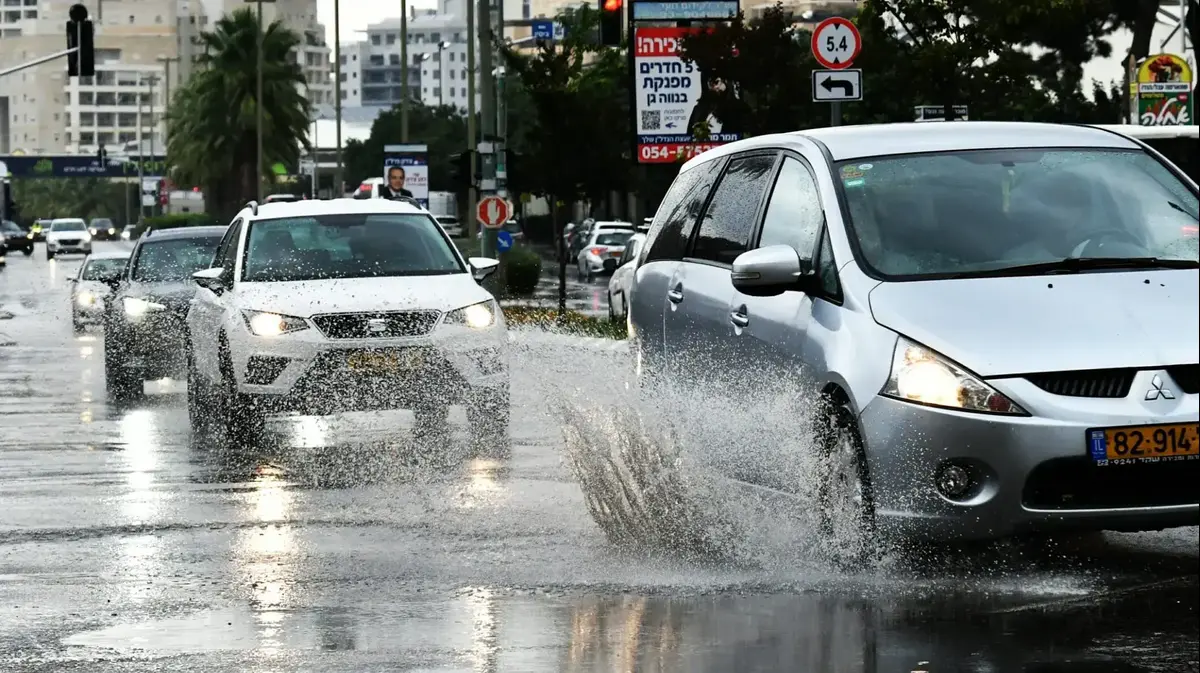
An active Atlantic disturbance crosses France between Saturday evening and Monday morning forecasts the Weather Channel (Figaro group). "In contact with the very hot air which rises from the Maghreb and the fresh Atlantic air, this situation causes a stormy deterioration marked on the west from Saturday evening to Sunday morning," the statement said.
This stormy degradation will then reach the east from Sunday afternoon, which is why our special press release will change on Sunday to concern the regions stretching from Hauts-de-France to Auvergne-Rhône-Alpes.
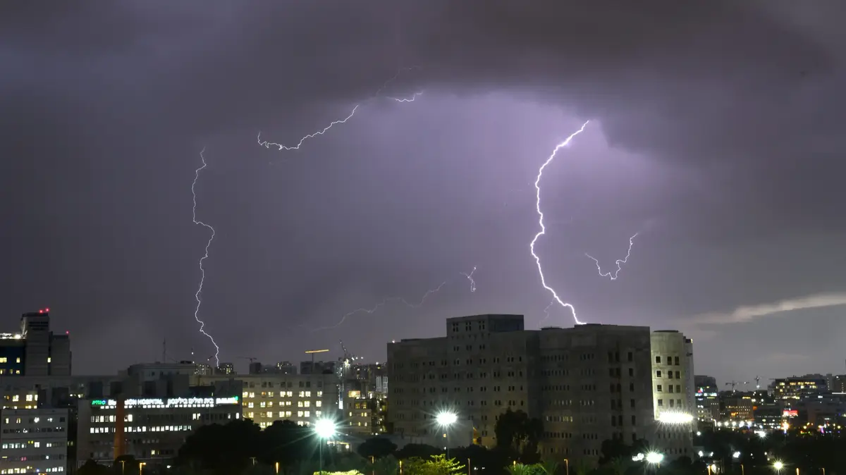
For its part, Météo France indicates that 11 departments of the Center-West were placed on Saturday in orange vigilance for fairly strong thunderstorms. Strong electrical activity should ensue, violent gusts of wind, often between 80 and 100 km / h or even very locally a little more, heavy rainfall and a risk of hail.
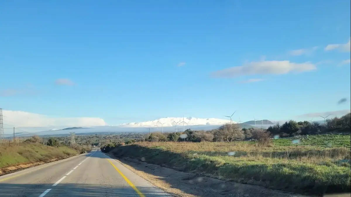
Sunday, the minimums are between 14 and 16 degrees in the North-West, 15 to 19 degrees elsewhere, up to 21 to 24 degrees on the Mediterranean coast. The highs will drop over the west with 20 to 25 degrees. On the east facade, they are between 26 and 31 degrees, up to 32 to 33 in Provence.