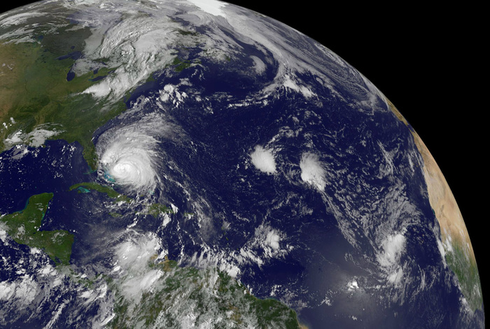
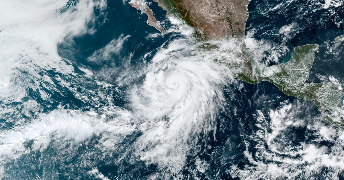
Tropical Storm Beta advances this Sunday at a low speed towards the coasts of Texas and Louisiana, threatening downpours, floods and storm surge on the coast of the Gulf of Mexico.
According to the latest report from the National Hurricane Center (NHC), Beta is located
140 miles (225 kilometers) southeast of Galveston, Texas
, and 180 miles (290 kilometers) east-southeast of Port Connor, Texas.
Beta has maximum sustained winds of 60 miles per hour (95 kilometers per hour) and
is traveling at 5 miles per hour
in a west-northwest direction.
Experts anticipate a change in the storm's strength before it makes landfall.
And once it moves inland, they expect it to weaken.
Coastal communities began preparing for Beta over the weekend, with voluntary evacuation orders in the City of Galveston and Galveston County and the City of Seabrook.
Provisional Mayor Craig Brown said in a statement that high waves and up to 10 inches (25 centimeters) of rain are expected to flood several stretches of highway, rendering them impassable, especially in the west of the city and lowlands.
Experts expect it to make landfall in Texas on Monday, causing flooding and several days of rain due to its slow movement from the mid-Texas coast to southern Louisiana. Experts earlier predicted that Beta
would become a major hurricane. one
.
In Galveston, authorities announced voluntary evacuation orders for all residents Saturday, as has the city of Seabrook, north of Galveston.
[How and when to prepare for a hurricane or tropical storm]
According to the latest report from the National Hurricane Center (NHC), as of 4:00 am ET Sunday, Beta was 295 miles (470 kilometers) from Corpus Christi, Texas, and 205 miles (330 kilometers) ) southeast of Galveston, also in Texas,
There is a tropical storm watch from Puerto Aransas, Texas, to Morgan City, Louisiana.
The forecast points to a storm surge of up to 4 feet (1.2 meters) in parts of the Texas coast that include Baffin Bay, Corpus Christi Bay and Galveston Bay, among others.
The storm is expected to include high winds and rainfall, dangerous surf and rip currents.
[The hurricane season was expected to be intense: it will be even worse]
In an unusually active Atlantic hurricane season,
meteorologists ran out of letters of the traditional alphabet to name storms before Friday
and had to turn to the Greek alphabet for the second time since the 1950s.
Elsewhere, Teddy remained a powerful hurricane into early Sunday morning, with maximum sustained winds 115 miles per hour (185 km).
The meteor vortex was 340 miles (550 km) southeast of Bermuda, less than a week after Hurricane Paulette made landfall on British soil.
Authorities activated a tropical storm alert on the island.
The swells caused by Teddy are expected to be felt in the Greater and Lesser Antilles, in the Bahamas, Bermuda,
before reaching the East Coast of the United States
.
Parts of the Alabama coast and northwestern Florida are still reeling from the effects of Hurricane Sally, which hit the area Wednesday.
The system caused at least two deaths and hundreds of thousands of people were still without power Friday night.
With information from The Associated Press
.


