
the weather
Written by: Deng Haixing and Chen Yongwu
2020-10-13 07:09
Last update date: 2020-10-13 07:10
The Observatory issued the No. 8 Northeast Gale or Storm Signal at 5:40 in the morning.
Winds from the northeast are expected in Hong Kong, with an average wind speed of 63 kilometers per hour or above.
At 7 o'clock in the morning, the tropical storm Nangka gathered about 450 kilometers south-southwest of Hong Kong, that is, near 18.4 degrees north latitude and 113.1 degrees east longitude. It is expected to move west or west-northwest at a speed of about 22 kilometers per hour and head towards Hainan Island. , And gradually increase.
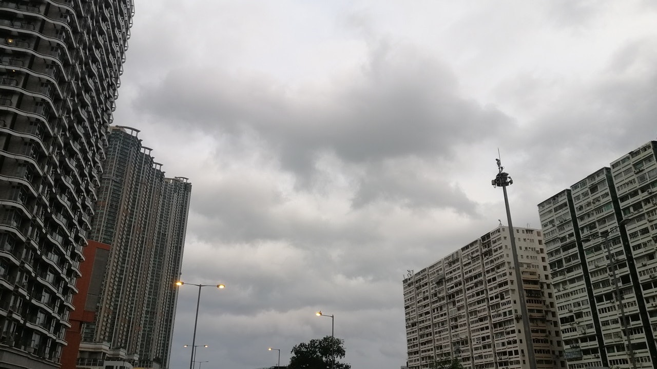
According to the Observatory, under the combined influence of Nangka and the northeast monsoon, the offshore waters and highlands of Hong Kong are gradually being affected by gale winds. The southern part of Hong Kong is windier. At the same time, Nangka is bringing squally showers to the south China coast.
It is expected that the No. 8 gale or storm signal will be maintained for most of the day.
In the past hour, the highest sustained wind speeds recorded at Waglan Island, Cheung Chau Beach and Green Island were 75, 64 and 51 kilometers per hour respectively, and the highest gusts exceeded 85, 75 and 66 kilometers per hour respectively.
At 7 o'clock in the morning, the Observatory recorded a temperature of 25.6 degrees and a relative humidity of 79%. The highest UV index today is predicted to be about 2, and the intensity is low.
Weather Overview:
Today
,
Hong Kong has strong winds to gale force from east to northeast wind. There are very big waves and swells on the sea; it is cloudy with rain and a few squally thunderstorms, and the rain becomes more frequent.
The daytime temperature hovers around 26 degrees.
Outlook:
Tomorrow will still be windy. There will be heavy rain and squally winds at first, and there will be very big waves and swells on the sea. Later, the rain will weaken; there will be sunshine for some time in the next few days.
Langka Typhoon.
Live | Typhoon Signal No. 8 issued by the Observatory is maintained for most of the day
Langka Typhoon.
Traffic News|The MTR mainly maintains a 10-minute bus daytime route suspension
(Observatory website)
01News
Weather Forecast Weather Real Time Typhoon Hong Kong Observatory