Red coral on the Catalan coast.Joaquim Garrabou
Marine protected areas (MPAs) by the Natura 2000 network - made up of biodiversity conservation areas in the European Union - are threatened, says the NGO Oceana in a report in which it has studied the 3,449 areas of that type that exist.
The result suggests that 70% of them are affected by at least one threat out of the 13 they have considered, but there are places in the Netherlands and the United Kingdom where up to 12 dangers have been found.
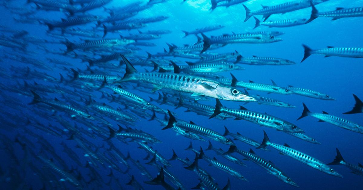
The most important are related to maritime traffic and the damage caused by fishing gear on the seabed mainly, followed by submarine cables, dredging, aquaculture, ports or oil and gas facilities.
"In reef habitats, allowing trawling or fishing gear to reach the bottom can cause damage to corals, so that the first objective is not met, which is to keep them in good environmental condition," says Pilar Marín as an example of the conditions. , Oceana scientist.
In this scenario, 96% of the European marine Natura 2000 network "does not provide sufficient protection to these places, since they allow at least one extractive or industrial activity or some infrastructure development within its limits," the report states.
Spain is not free of criticism for the management of these spaces.
The study maintains that it is the country that allows fishing in more protected areas (157 of the 308 that it has and that cover 84,399 square kilometers).
A short distance away is France, which authorizes its fleet to fish in 154 of its 290 protected areas (127,000 square kilometers), and the United Kingdom, which enables catches in 152 of its 280 areas (117,000 square kilometers of surface).
The goal of the European Union is to reach 30% of protected marine space by 2030, according to the Biodiversity Strategy approved this year.
One of the most difficult places on the Spanish coast is in the Strait of Gibraltar, in a 236 square kilometer area called the Eastern Strait, which surrounds the Rock of Gibraltar.
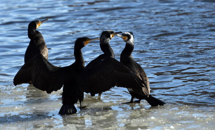
In 2012, sandbanks, reefs, sea caves and several species including the bottlenose dolphin and the loggerhead turtle were protected.
But in this place, where a great concentration of human activities converge, Oceana has identified eight different threats.
"In the entire Natura 2000 network, it is one of the points subject to one of the highest maritime traffic rates (more than 22,000 hours per square kilometer per year)," the research states.
This congestion creates a high risk of ship collisions and fuel spills, as well as collisions with migratory fauna passing through this connection point between the Atlantic Ocean and the Mediterranean Sea, and underwater noise.
"There are also intrusions of the trawl fishery below 50 meters, a prohibited activity in the Mediterranean," says Marín.
In the analysis of all areas studied in Europe, 86% of the “protected” seabed is exposed to high-risk fishing gear.
The abundance of ships is linked to its proximity to the port of Algeciras, considered the largest in Spain and the Mediterranean in terms of freight transport.
"It is also used as an international logistics center," Oceana says.
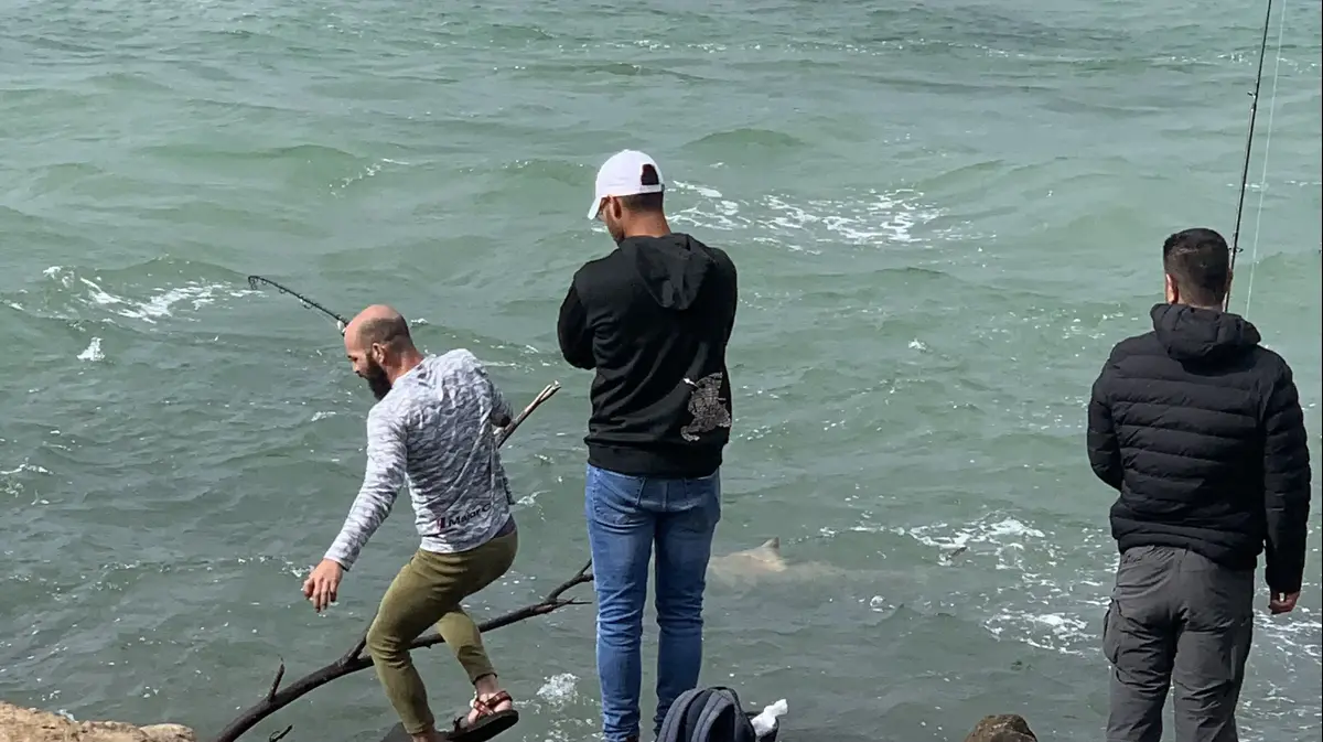
The fishing fleet that operates within the Eastern Strait adds more pressure to the environment.
The vessels are mainly small-scale and operate in various fishing grounds to catch horse mackerel, bluefin tuna, sea bream, swordfish and various species of bivalves.
The Oceana report concludes that more than 53% of the areas evaluated lack management.
And when it does, "80% of the plans are generally incomplete or plagued with weaknesses, omitting the management of the most serious threats that affect it."
The NGO calls on national governments to radically change their management and adopt large-scale bans on activities that are incompatible with the objectives of these areas.
They denounce, at the same time, that there has been in the last decade "a race" to declare a large number of these areas, "which has had a cost in quality", like many areas "declared on paper, but without any management" .
Oceana's analysis shows that the objective of many MPAs has been to develop a “legal minimum” that protects certain characteristics, rather than protecting the ecosystem more broadly, without addressing the more widespread threats such as maritime traffic, fishing and dredging. .
To find out the most important news on Climate and Environment from EL PAÍS, sign up here for our
weekly
newsletter
.
Follow the Climate and Environment section on
and


/cloudfront-eu-central-1.images.arcpublishing.com/prisa/2C5HI6YHNFHDLJSBNWHOIAS2AE.jpeg)