
The year 2020 which is coming to an end may be the hottest ever recorded, this time we have well and truly entered winter.
And it's not about to stop.
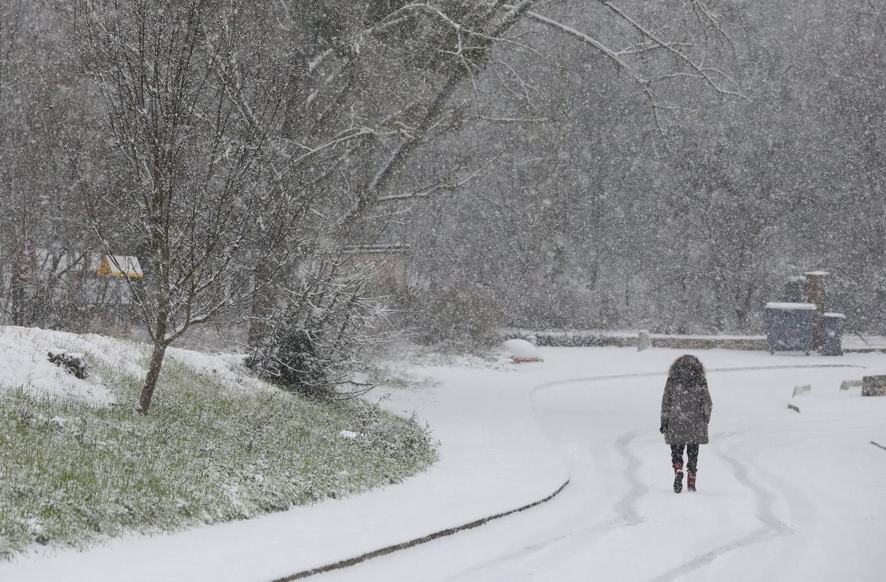
After the passage of storm Bella, which deprived more than 30,000 homes of electricity on Sunday, snow and ice warnings followed one after another: Aveyron, Corrèze, Lozère, Cantal and Puy-de-Dôme.
Up to 60 cm fell on Aubrac.
Another tangible sign of this offensive is the appearance of flakes at low altitude.
“This Wednesday morning, we are still expecting snow in the Massif Central, but also probably in the evening in Normandy, indicates Steven Testelin, forecaster at Météo France.
Thursday, there could also be a thin layer of white in the plains in Lorraine and the Ardennes, and in the morning in the Rhône valley to Lyon.
"
A kiss from the North Pole
In fact, remarks the meteorologist, these are "classic winter conditions".
"But the contrast with the very great softness that we experienced from the beginning of the month until the 22nd is striking," he slips.
The cold snap intensified from Christmas and we should start the year 2021 by shivering a little more, this Friday.
Why ?
"A mass of cold air broke away from the polar regions to come to a stop in France with moderate but persistent cold," explains meteorologist Guillaume Séchet, author of the book "Extreme weather" (Ed. Hugo Image).
Models don't expect a softening until next week.
»The north wind from the land of polar bears: the image chills my spine.
But as the air from the Pole passes over the ocean, it is softened.
🌨️ Massif du Sancy: up to 77 cm measured this afternoon in the region (Super Besse).
In the same department: 67cm in Chastreix, and 52 cm in Vernines.
Snow showers forecast until the weekend.
https://t.co/Ghc0ykArc0
- Météo-France (@meteofrance) December 28, 2020
As of Friday, the winds could turn.
And the north-eastern flows, continental ones, will cause temperatures to plummet everywhere in France.
Particularly in the East.
While the average thermal indicator is established at this time of the year at 5-6 ° C, it will not rise above 1-2 ° C, we note at Météo France.
A few flakes could thus whirl over the Hauts-de-France, Poitou, Center and Ile-de-France regions.
“There should not be a significant accumulation,” notes Steven Testelin.
On the other hand, further south, Corsica like the Côte d'Azur, the Mercantour and the Southern Alps are "under surveillance".
A serious white coat could form there.
On the Isle of Beauty in particular, snow is expected from Thursday at low altitude until the weekend.