The State Meteorological Agency (Aemet) has raised this night to red, that is, the maximum, the level of warning for snow in a wide area of the Community of Madrid, including the capital, for Friday afternoon and the first half of Saturday.
If so far the forecasts, which already suspected a historical snowfall, pointed to the fact that 15 centimeters of snow could accumulate in 24 hours, now up to 20 are expected in the metropolitan area, the Henares corridor, Las Vegas and the west.
Snow, accompanied by a blizzard, can fall to any level with a probability of between 40 and 70%.
Faced with this situation, Emergencias 112 asks citizens "not to use the car unless it is strictly essential."
In addition to Madrid, there are four other provinces on high alert due to the intense snowstorm: Guadalajara, Cuenca, Albacete and Toledo.
The first day of the great snowfall in Madrid is settled without major incidents
Madrid, waiting for the great snowfall of the century
Photogallery: the biggest snowfalls in Madrid
From nine in the morning, the metropolitan area, the Henares corridor, Las Vegas and the west of the snowfall will be under orange warning, the second on a scale of three, due to the forecast that five centimeters of snow will accumulate.
This notice will turn red at six in the afternoon and will remain red until noon on Saturday.
In the mountains of Madrid, where the alert level is also orange from 12.00, a thickness of 30 centimeters of snow is expected.
In the mountains there is also a warning for low temperatures until ten in the morning, which can be -6ºC.
The peak of the episode is expected to occur during the last hours of this day and early Saturday morning.
On Saturday morning it will continue to snow furiously until noon, at which time the red notices will turn to orange for the remainder of the day, with some accumulated another two inches.
A red warning, a level that is rarely reached, supposes “an extreme meteorological risk” and implies “unusual phenomena of exceptional intensity and with a very high level of risk for the population”, so it is recommended not to circulate on the roads.
"From Madrid 112 we insist on the importance of citizens being promptly informed of the evolution of the storm and avoiding travel by car," insisted David García, one of the spokesmen for Emergencies.
In the absence of confirmation by Aemet, it is very likely that it is the first red warning for snow in Madrid since the current system, called Meteoalerta, was established and has been used since 2007.
Will it be the great snowfall of the century in Madrid, where it hardly snows?
"It is not an exaggeration", responds Aemet spokesman Rubén Del Campo, who specifies that between Friday and Saturday the capital could experience its heaviest snowfall since the eighties of the twentieth century.
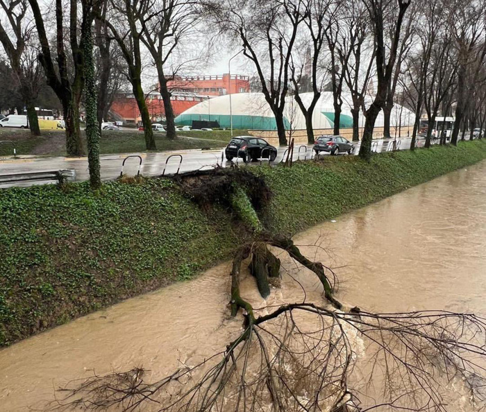
For now, the exceptional snowstorm, caused by the conjunction of a cold air mass with another more temperate and loaded with humidity, which is dragging the storm Filomena, has hardly left serious incidents, confirmed Emergencias de Madrid 112 on Wednesday. The region maintains level 1 of the winter inclement plan, which implies the restriction of access by car to the mountains.
Thus, it is forbidden to go to all recreational areas in forest areas of the region, the car park located in the port of Cotos has been closed and the bus service between the town of Navacerrada and its port and between it and the port has been suspended. of Cotos.
/cloudfront-eu-central-1.images.arcpublishing.com/prisa/FNKLLK5XKNWEKUJYBF4ZFC5S6U.jpg)