The weather in Bavaria is getting uncomfortable.
There is a storm warning in the south, plus there is now a storm - and dangerously mild air.
In the past few days it was white in Bavaria.
Tropical-warm storm low sweeps over Bavaria - and triggers weather chaos from Friday (see update from January 28, 22:51).
All news about the weather * in Bavaria can be found here.
Update, January 29, 6:05
: Almost throughout Bavaria warns the
German Weather Service
before
squalls
.
It says: "There are gusts of
wind
at speeds of around
75 km / h
(21m / s, 41kn, Bft 9) from a south-westerly direction." South of Munich, the
DWD warning card is
colored dark red; in addition, a
severe weather warning of severe thaw
: “With positive temperatures and continuous rain, the snow cover thaws heavily.
The runoff amounts to between 120 l / m² and 180 l / m². "The districts of Oberallgäu, Unterallgäu, Ostallgäu are affected.
Weilheim-Schongau, Garmisch-Partenkirchen, Bad Tölz-Wolfratshausen, Miesbach, Rosenheim, Traunstein and Berchtesgadener Land as well as the city of Kempten.
Depending on how fast and violently the snow thaws and how much rain there is, there could be floods in the extreme south of Bavaria (see previous update).
+
The warning card for Bavaria lights up.
The south is particularly affected.
© Screenshot DWD
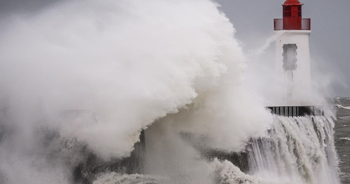
Storm warning!
Tropical-warm storms sweep over Bavaria - and trigger weather chaos from Friday
Update, January 28th, 10:51 pm
: "An explosive weather situation" is how DWD meteorologist Markus Übel describes the current situation in Bavaria.
A low brings "very mild air" to Bavaria.
And that with wind speeds of up to
80 km / h.
The German Weather Service has therefore
issued
a
storm warning
for all of Bavaria.
At the same time, the
Bavarian flood
warning service warns of
rising river levels in
Franconia
and
Regensburg.
There is also a
severe weather warning
for the Alpine and foothills of the Alps.
A lot of snow will thaw there on Friday and Saturday.
Depending on how fast and violently this happens and, above all, how much rain there is, there could be floods on rivers, streams and lakes in the extreme south of Bavaria.
If the fears come true, according to the meteorologist, there will be "a lot" of water in southern Bavaria.
Weather in Bavaria: German weather service warns - Alpine edge particularly affected
Munich (January 28, 12.55 p.m.)
- In the past few days it was white in
Bavaria
, and a lot of snow came down in the state capital Munich.
Yesterday, Wednesday, the weather there was still wintry, but already in the evening and over night the
weather change
slowly became noticeable with rising temperatures.
Weather in Bavaria: German weather service issues a warning for Munich
In Munich it rains at temperatures of three degrees, the thermometer continues to rise during the day.
Wetter.com
forecasts up to seven degrees
.
The
German Weather Service
has already issued a warning for the state capital.
There are
gusts of wind
at speeds of around 60 km / h (17m / s, 33kn, Bft 7) initially from the southwest, later from the west.
Storm
gusts of up to 70 km / h
(20m / s, 38kn, Bft 8) must be expected
in exposed locations
.
Strong thaw!
German weather service warns on the edge of the Alps - the warning applies all weekend
There is even a severe weather warning at the edge of the Alps, the area is marked in red on the DWD warning map.
The band stretches across the entire edge of the Alps.
With positive temperatures and persistent rain,
the snow cover thaws
heavily
.
The flow rates reach between
70 l / m² and 100 l / m²
.
Warnings are also issued against squalls *, heavy squalls and strong thaws.
"The flow rates reach between 70 l / m² and 100 l / m²," warns the DWD.
The former warnings apply until Friday morning, the latter, however, all weekend.
+
The DWD warning card: There is a storm warning south of Munich.
© Screenshot DWD
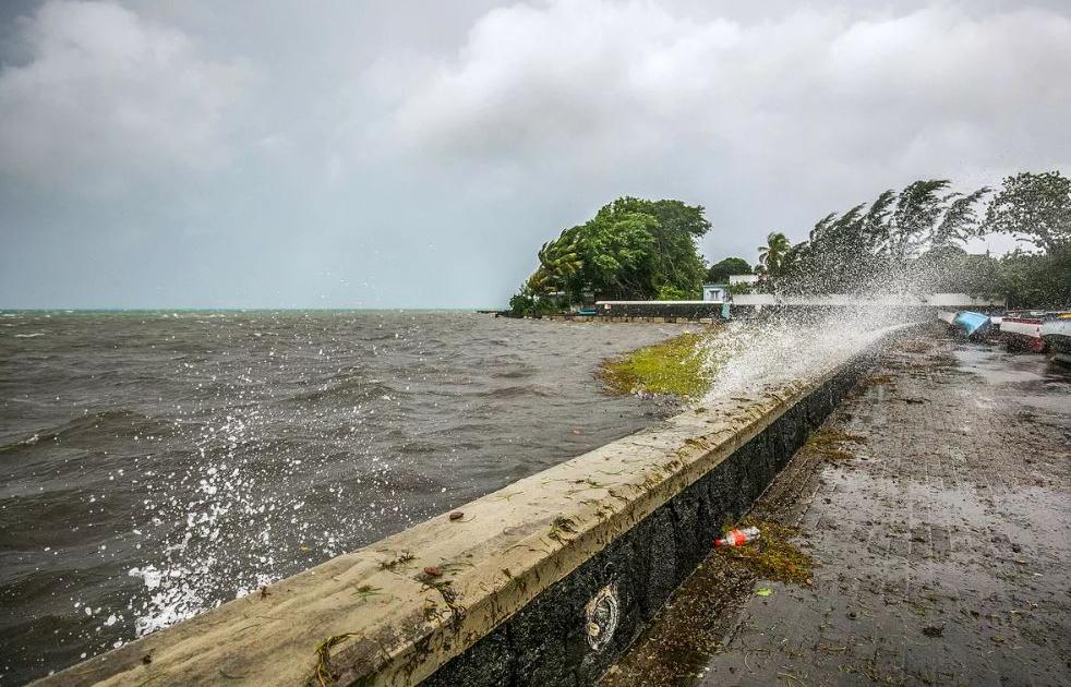
Heavy rain, warm wind and massive snowmelt on top of that: the ingredients for a flood situation in the Miesbach district are there.
The DWD warns of severe weather, flooding is possible. *
Weekend weather in Bavaria: Winter is returning
At the weekend, the
winter
sometimes comes
back.
Most of the snow * will probably be in the Harz Mountains, there are 20 to 30 centimeters in it, and in congested areas even up to half a meter, as
reported by
weather.com
.
From Saturday the
snowfall will
then
shift
south.
The temperatures drop to -teen degrees.
“In unfavorable locations maybe even below,” they say.
According to
weather.com
, something else is happening: “A surge of arctic air is coming towards us from the north.
Especially in the north and east we are
feeling
the
cold
again.
There can be severe frost during the nights.
The snowfall will move south until Sunday and winter will return there.
Only in the very west and south-west it probably won't be so cold. "
Bavaria weather: "Snow roller is running out of air a bit"
The
snowfall
in the south is no longer as extreme as in the north on Friday and Saturday.
“The snow roller from the north is running out of air a bit.
But there is new rain in the west, ”reports
weather.com.
So winter is coming back for most of the country.
For next week there are already signs of “massive warming”.
(came) * Merkur.de is part of the nationwide Ippen-Digital editors network.
List of rubric lists: © Screenszhot / DWD