Rainy and very agitated weather dominated this Sunday day.
Météo France placed 26 departments on orange vigilance, this January 31 at 4 p.m., including four for rain-flooding and one for avalanches.
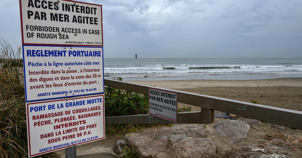
Orange flood vigilance concerns 23 departments in the north and south-west.
It was already applied Sunday morning in the Dordogne, Corrèze, Aisne, Charente-Maritime, Eure, Gers, Gironde, Landes, Lot-et-Garonne, North, Oise, Pas-de-Calais, Pyrénées-Atlantiques, Hautes-Pyrénées, Seine-Maritime, Yvelines, Tarn-et-Garonne and Val-d'Oise.
It is now extended to Aveyron, Charente, Haute-Garonne, Lot and Tarn.
But it is up in the Doubs and the Jura.
🔶 26 deposits in #vigilanceOrange
Stay informed on https://t.co/CSYEovTI83 pic.twitter.com/tNXSEWrDki
- VigiMeteoFrance (@VigiMeteoFrance) January 31, 2021
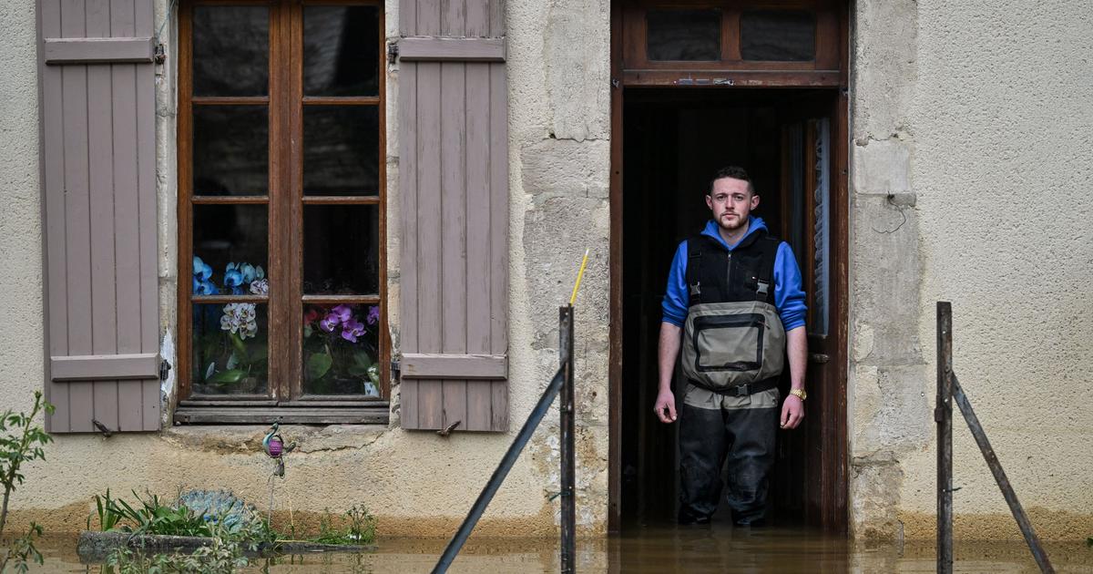
Météo France warns of "significant flooding in the north of the country, as well as in the southwest and the central massif, associated with heavy rains beginning in the night from Sunday to Monday".
The map of rivers in flood is available on the site of Vigicrues, which warns that "significant flooding is possible" and that the transport and electricity networks could be affected.
Sustained rains on already wet soils
Aveyron has also been placed in orange vigilance for rain-flooding, as have Corrèze, Cantal and Puy-de-Dôme.
“The rains have resumed, but are occurring mildly for the moment, around a millimeter per hour.
The rain / snow limit is around 1600/1700 m ”, explains Météo France.
These rains will become more sustained "during the first part of the night", warns the meteorological body.
They will occur "on already soggy soils, and flow into fairly loaded streams".
The Isère is placed in orange avalanche vigilance.
“New snowfall will start in the middle of the night from this Sunday to Monday, it will continue until Monday evening.
The rain-snow limit will be around 1500 m.
The intensities will be strong from mid-day to the evening.
At 2000 m we expect at the end of the evening of Monday 30 to 50 cm of fresh snow, up to 60 cm on the summits of Belledonne ”, indicates Météo France.
The weather will remain cloudy on Monday
On Monday, the weather will remain cloudy and often rainy over much of the country.
Only the Mediterranean regions will benefit from drier weather with a few possible drops, under a very hazy sky.
Over the rest of the country, the sky will be heavy throughout the day, with light rains or drizzle in the north and northeast, and more continuous rains elsewhere, especially in the morning.
After a relative calm in the afternoon, a new disturbance will be announced over the west at the end of the day, bringing new rains during the night.
The wind will blow strongly on the south and the west with gusts close to 80 km / h in the interior, 90 to 100 km / h or even more on the relief and the coast.
Morning essentials newsletter
A tour of the news to start the day
Subscribe to the newsletterAll newsletters
Minimum temperatures will vary between 3 and 6 degrees in the north and northeast, 7 to 11 elsewhere.
The maximums, up slightly, will show 8 to 12 degrees over the north and east of the country, 11 to 16 degrees in general elsewhere, 15 to 19 near the Mediterranean.