The snow is melting - and rain is falling.
And then the temperatures rise too.
This combination makes the levels rise throughout Bavaria.
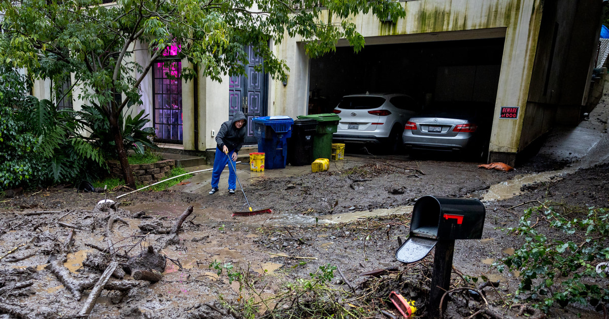
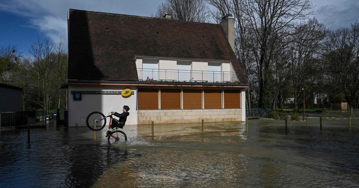
Overview of the flood situation.
Flood in Bavaria: Police with request to motorists - levels continue to rise
Update from January 31, 7:06 p.m.:
In northern Bavaria, the
flood situation
does not want to relax yet.
In the Würzburg area, the
police asked drivers to
repark
their
vehicles
parked on the Main
, as
reported by
br24.de.
In the past hours of today's Sunday, the
water
in the Würzburg area
has risen
between
three and 13 centimeters
(as of 4.15 p.m.), in the Wolfmünster area by as much as seven centimeters.
Update from January 30th, 11.30 a.m.:
While the
flood
situation is easing
in southern Bavaria
, large parts of the Free State are still
struggling
with
floods
.
Risk of flooding in Bavaria: Large parts continue to struggle with flooding
According to the Bavarian flood news service, the
greatest risk of
flooding
is in the regions of Bamberg, Coburg and Landshut.
But also in the rest of Franconia, as well as in parts of the Upper Palatinate and Swabia, there can be further expansions and floods.
There are
rising
water levels
around the Franconian Saale.
In Bad Kissingen, the flood level has meanwhile risen to reporting level 3.
The water levels on the Main also rise in some cases.
At the same time, the flood
intelligence service
gives the
all-clear
: "At many levels, reporting level 1 or 2 has been exceeded, only occasionally reporting level 3.
Floods in Bavaria: flood warning service gives the all-clear - no further tightening
According to the German Weather Service, no relevant rainfall is expected in northern Bavaria until Monday morning, in southern Bavaria only light and isolated rain and snowfalls have been announced.
The worst is probably over by now.
The flood warning service expects that the flood situation will not worsen any further.
Update from January 30th, 7:05 p.m.:
After several days of fun in the snow,
the big
thaw
comes in
Bavaria
.
In the past few days, it had also rained widespread in the Free State - the masses of snow are turning
into water
due to the
higher temperatures
and pose a challenge to the sewage systems.
Risk of flooding in Bavaria: Danube with reporting level 3 - Regensburg plans measures
In the Upper Palatinate, the
flood situation
will remain
tense in some places for the next few days, as the
BR
describes.
Precipitation and thaw add up to an
amount of water
that also increases the level of the Danube.
The
apex
is expected for Sunday, in the city of Regensburg then reporting level 2 to 3. The city will, if necessary, erect mobile flood protection elements so that the Danube
remains
in the
river bed
and does not flood the bank in some places.
In the city of Deggendorf, the thaw around the Danube this weekend is "unproblematic", as the local disaster control department explained.
A relaxation of the situation is
only in sight from Wednesday (February 3)
due to
further rainfall
, according to the German Weather Service (DWD).
On Sunday, rain is usually expected near the Alps, some
snow can
fall
in parts of southern Bavaria
.
In Franconia and the Upper Palatinate, the sun shines in some areas.
According to the meteorologists, temperatures in Bavaria will rise again at the start of the week.
Flood in Bavaria: Meteorologist speaks of "explosive weather conditions"
Munich
- The
German Weather Service (DWD)
has been warning for several days of the "explosive weather situation", as DWD meteorologist Markus Übel describes it in a warning weather * video.
A warm, subtropical
storm
low sweeps
across
Bavaria
in the middle of
January
and thaws the
snow masses
that have accumulated over the course of weeks all the way
up into the Alps.
Plus there's plenty of rain.
All of this combined makes the water level rise - and that is unusual in all of Bavaria.
In addition: "The pronounced snow conditions make it very difficult for us to predict floods," explains Dr.
Natalie Stahl-van Rooijen from
Flood News Service Bavaria (HND)
.
Background: In the Alps, the snow tends to catch the rain first.
“At the same time, the rain turned into snow again at higher altitudes.” In contrast, the snow was washed away at lower altitudes, thus contributing to the flow rates.
So everything is exciting even for experts and not so easy to see through at first glance.
So that you have an overview, the most important warnings and current water levels are summarized here.
Highest flood warning level for Aschaffenburg, Bamberg and Coburg as well as Landshut
The
highest flood warning level (warning of flooding in built-up areas)
applies in the city and district of Aschaffenburg until tomorrow, Saturday (January 30th).
But only for the river Kahl.
Yesterday's precipitation and thaw have led to a further rise in the water level on the Kahl.
The
Schöllkrippen gauge
is currently in
reporting level 3
(of four possible levels).
Since no further major precipitation is currently forecast,
reporting level 4 will
probably not be reached, so that the situation can be expected to ease towards evening.
“The worst is around here,” says Stahl-van Rooijen.
The highest warning level also applies to the
Schenkenau / Itz
rivers
in the
Bamberg
and
Coburg districts
.
Here too, reporting level 3 will probably be reached in the next few hours.
Probably nothing more.
The same applies to the Vils in the
Landshut
district
.
Flood in Bavaria: Levels rise in Franconia as far as Nuremberg
According to the
HND,
a focus of the flood is
currently in
Middle Franconia
, where the tributaries to the
Rednitz / Regnitz
(Aisch, Schwabach, Zenn, Pegnitz, Fränkische Rezat, Schwarzach), as well as the upper Altmühl and Wörnitz lead a smaller flood in the area of reporting level 1 to 2 .
Accordingly, there may also be slight excesses in Nuremberg * itself in the next few days.
In some cases, reporting level 3 can still be achieved in francs.
Upper Palatinate and Lower Bavaria: Danube rises for even longer - but not a bad flood situation
The tributaries of the Danube are currently flooding and have reached one or the other reporting level.
It is currently difficult to estimate exactly how much exactly when a wave will come together for Kelheim, Regensburg *, Straubing and Passau *.
But it shouldn't be too much.
Maximum reporting level 2.
Flood situation in Upper Bavaria: all-clear for the edge of the Alps
The DWD is currently still warning of a severe
thaw
on the
edge of the Alps
in southern Bavaria
with a storm warning
.
Stahl-van Rooijen can give the all-clear.
“At higher altitudes, the rain has often turned into snow again.” Furthermore, the large amount of snow in the mountains could actually act as a buffer for the time being, so to speak, so to speak, soak up the rain first.
In addition, the mountains can withstand more rainfall than the flatlands anyway.
Great flood events are therefore no longer to be expected there.
At most, small bodies of water not covered by the warning service could overflow their banks.
* Merkur.de is part of the nationwide Ippen-Digital editors network.
We always provide you with an up-to-date
overview of the
Bavaria weather
in our weather ticker for Bavaria.


/cloudfront-eu-central-1.images.arcpublishing.com/prisa/2C5HI6YHNFHDLJSBNWHOIAS2AE.jpeg)