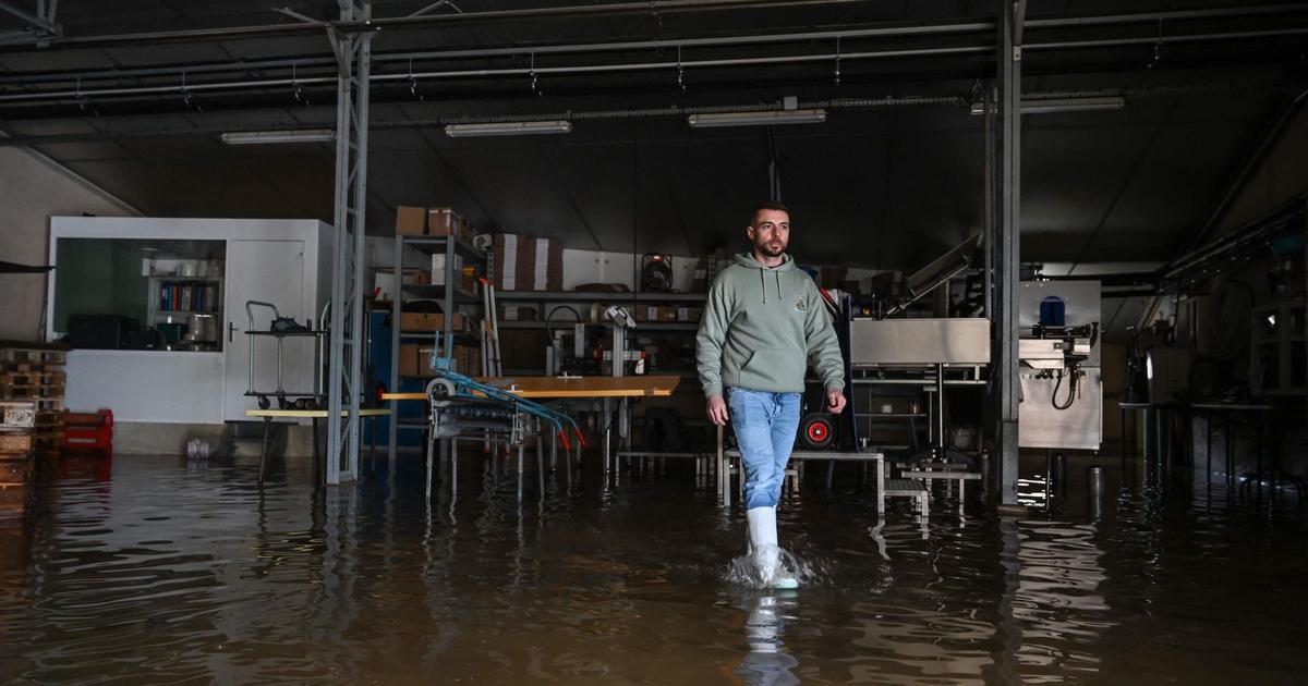
Floods continue to affect a large part of the country.
They remain particularly pronounced in the Southwest.
The forecasts for the next few days are also not good.
The Lot-et-Garonne remains in red vigilance.
Météo France and Vigicrues, the service in charge of monitoring the level of watercourses, are keeping 18 departments on alert this Thursday due to flooding.
The Lot-et-Garonne is kept in red vigilance, the maximum level on a scale which includes four.
17 departments are in orange vigilance (level 3 out of 4).
Here is the list: Tarn-et-Garonne, Landes, Gironde, Dordogne, Charente, Charente-Maritime, Deux-Sèvres, Saône-et-Loire, Vosges, Meurthe-et-Moselle, Meuse, Marne, Aisne, Oise, Somme , Pas-de-Calais and Nord.
In addition, almost the entire country is in yellow vigilance (level 2 out of 4).
Meteo France
This situation is the result of two factors.
The months of December and January have already been very wet.
And "since last Thursday we have suffered continuous precipitation which affects almost the entire territory, underlines the director of the central service of hydrometeorology and support for flood forecasting (Schapi), Laurence Pujo.
As the soils are saturated with water, they no longer have the capacity to absorb what falls from the sky ”.
READ ALSO>
Climate: floods, floods… why is it raining so much?
Morning essentials newsletter
A tour of the news to start the day
Subscribe to the newsletterAll newsletters
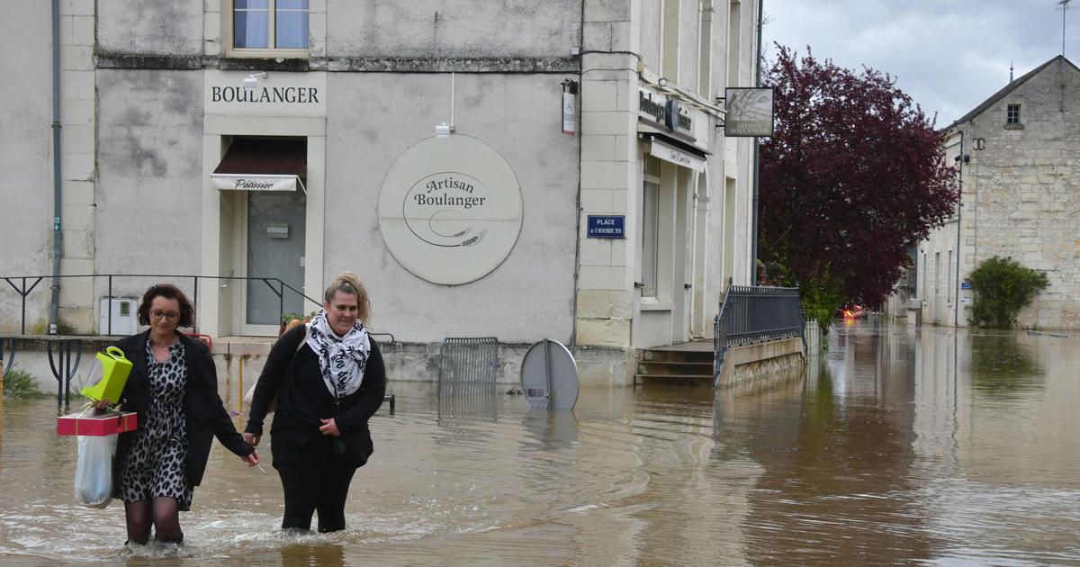
An "exceptional" water level in the Marmande sector.
Vigicrues explains that, in Lot-et-Garonne, “the flood reached exceptional heights in the Marmande sector around midnight at a level of 10.20 m (lower level than that observed during the flood of December 15 1981 at 10.56m) ”.
A slow decline begins to be observed.
At 8 am, the level of the Garonne was about 10 meters, according to the last readings taken.
This graphic animation provided by Météociel, allows to visualize the progression of the rise of the water in the region between Monday and Wednesday.
Here is the extent of the floods over the last 3 days of the #Garonne flood between Tonneins and Marmande currently in #VigilanceRouge 🔴
The areas in black indicate the areas submerged in water, this evening the level stabilizes at 10.10m in Marmande , the decline is taking place in Tonneins pic.twitter.com/7qlhjxsV9m
- Meteociel (@meteociel) February 3, 2021
Only material damage.
Despite the seriousness of the situation, no death is to be deplored.
Asked about franceinfo, the chief of staff of the prefect of Lot-et-Garonne ensures that “we only have material damage.
We have no regrets about serious accidents or deaths ”.
Some evacuations took place.
Roads remain impassable, as in most of the other departments affected by floods.
Forecasts that are not good.
This Thursday, the rains will be rather moderate and scattered.
But from Friday, new precipitation will affect areas in orange and red vigilance.
On Saturday, it will rain even more, almost all over the country.
At best, it will delay the recession, at worst it will cause new flooding, the soils being already waterlogged.
In Paris, the Seine is stabilized just above 4.30 m.
This prevents any river navigation in the capital.