This week is warmer than usual, and the turnaround will come next week with a significant winter system • Possibly snow in the mountains • In most parts of the country: Rainfall is higher than average so far
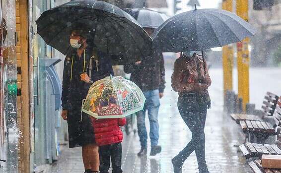
Prepare (again) the umbrellas
Photography:
Joshua Joseph
The current spring weather in our area will continue in the coming days, although a slight and gradual drop in temperatures is expected, with the possibility of fog in the coastal plain and the lowlands.
Want to stay up to date on the forecast always?
Visit our new weather page >>
Meteo-Tech said that no significant change is expected on Thursday.
On Friday it will be partly cloudy to clear with a slight drop in temperatures, but they will continue to be higher than normal for the season, especially in the mountains.
Saturday will be partly cloudy to clear and on Sunday there will be a slight drop in temperatures.
Towards the middle of next week, a trend reversal is emerging, and winter is expected to return to the country, accompanied by rains and low temperatures.
Tzachi Waxman from Meteo-Tech points out that there is also a chance that with the return of winter, a cold wave will develop in our area that will cause snow to fall in the mountains.
According to data from the Meteorological Service, a summary of precipitation data so far shows that the amounts of rain since the beginning of the season are again higher than the average in the north of the country and on the coastal plain, which have so far dropped 120% -150% from the average for the corresponding period.
In the northern coastal plain (Nahariya-Rosh Hanikra area) the cumulative amounts reach 160% to 170%, and in this area the amount has already decreased, which is similar to the perennial average for the entire season and even more.
In other parts of the coastal plain, 70% -85% of the entire season's rain fell.