the weather
Written by: Lao Minyi
2021-04-04 12:31
Last update date: 2021-04-04 12:31
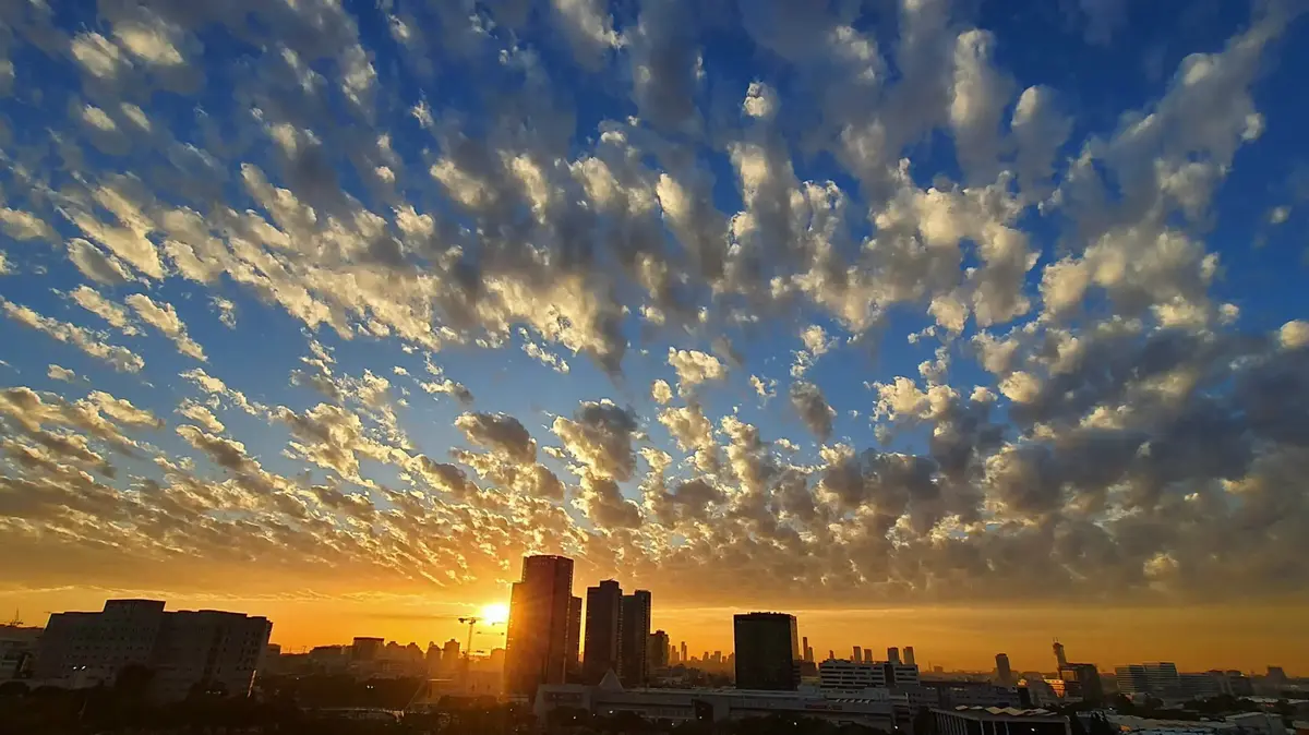
During the Ching Ming season, the sky is overcast, and an easterly air current affects Hong Kong early. The highest temperature of Ching Ming Festival is not ushered as previously expected, and the urban temperature is hovering at the beginning of 2.
The Observatory predicts that tomorrow (5th), affected by a strong easterly airstream, there will be light rain and low visibility in Hong Kong at first.
After that, the weather improved slightly for two days. Unstable weather was ushered in. The Observatory expected cloudy and rainy from Thursday (8th) and continued until the weekend.
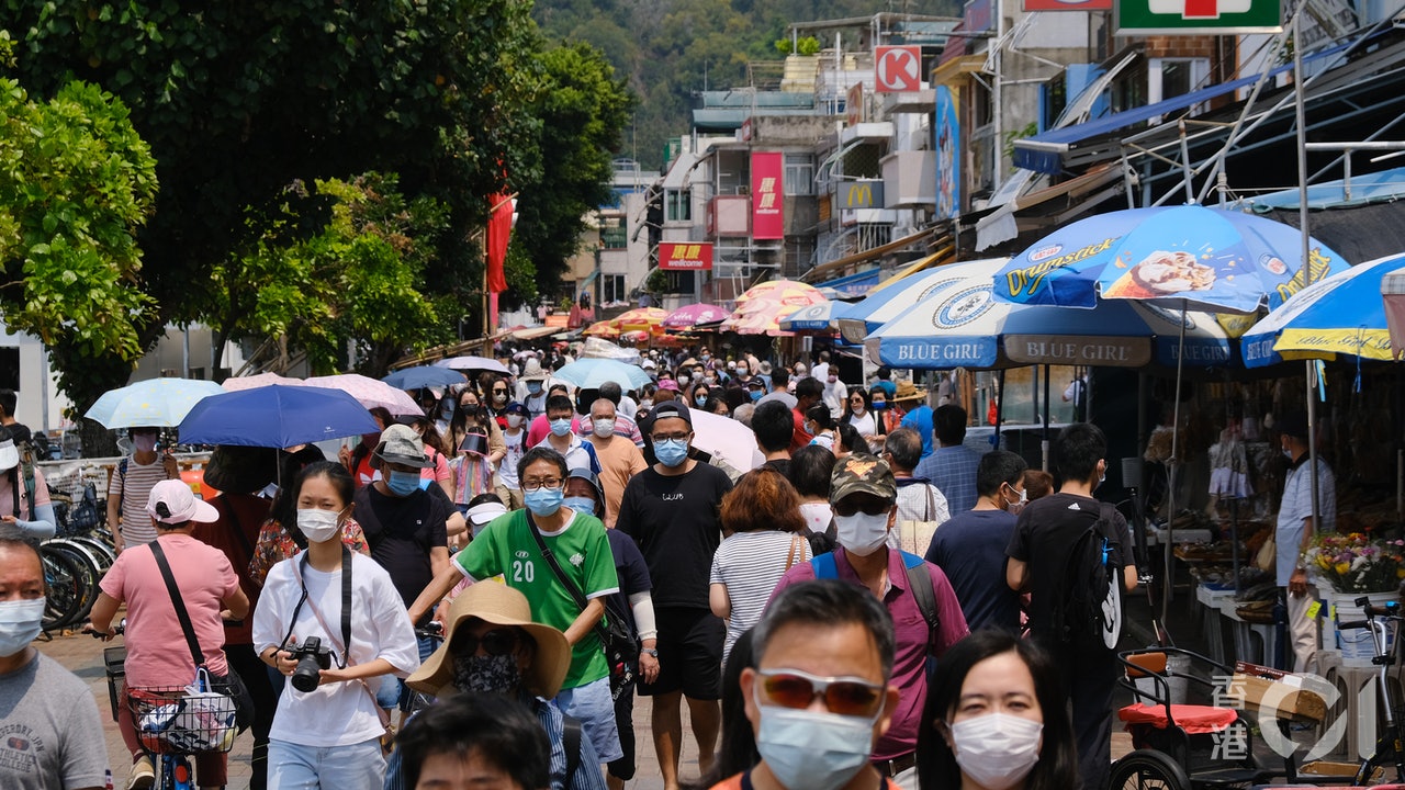
▼Easter many districts crowded ▼
+12
+12
+12
An easterly airstream is affecting the coast of Guangdong. At the same time, it is covered by a cloud belt. The weather in Hong Kong is clear for part of the day. The temperature in the urban area ranges from 24 to 28 degrees.
At noon, the temperature in most parts of Hong Kong was 3 to 5 degrees lower than yesterday.
High-altitude disturbances brought unstable weather to southern China later in the week
A strong easterly wind will affect the coast of Guangdong tomorrow. The Observatory expects that the day after Ching Ming Festival will be generally cloudy with light rain and low visibility at first. The offshore and highland winds can reach level 6 from time to time. The wind is quite strong. It was clear for part of the afternoon.
As the easterly airstream eased in the next one or two days, the weather in Hong Kong improved and the sun was welcoming, but the maximum temperature in the urban area did not rise significantly, only 27 degrees.
High-altitude disturbances will bring unstable weather to southern China later in the week, while easterly airflows will increase again, and there will be a few rain patches along the coast of South China.
The Observatory predicts that Hong Kong will be generally cloudy starting from Thursday with a few showers. Rainy days will continue on weekends. The lowest temperature in the urban area on Friday is only 21 degrees.
The Observatory predicts that there will still be one or two rain showers early next week, there will be some sunshine, and the highest temperature in the urban area will be close to 30 degrees.
(Screenshot of the Observatory website)
The weather forecast will increase the probability of significant rainfall today. The Observatory will announce heavy rain in some areas in the next season.
The Observatory expects up to 8 typhoons to hit Hong Kong this year is normal or it may have entered the windy season before June
Shocking Hong Kong has always had fewer "spring thunders". The Observatory predicts that the rainfall this spring will be normal or at least low
The strongest sandstorm in the past 10 years hits the northern port of the Mainland
01News
Hong Kong Observatory Weather Forecast